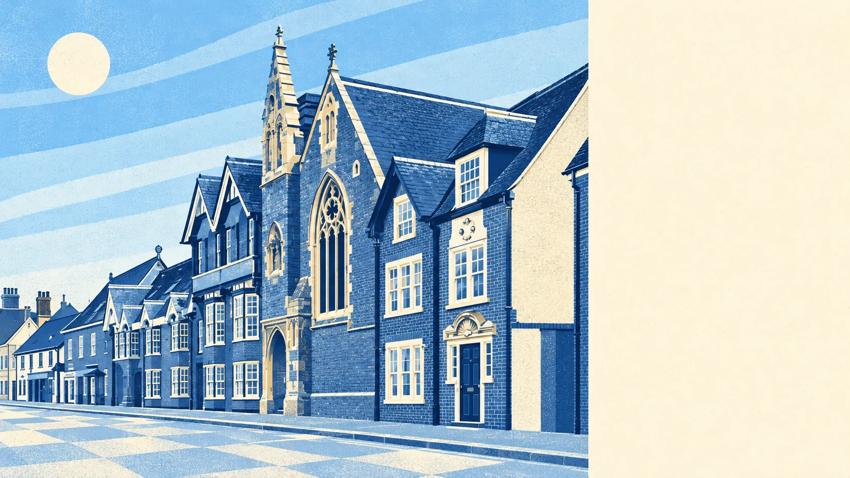
Shefford is a town where the house you buy is yours to change, with 39 listed buildings in total and no conservation area drawn around any of its streets. Loft conversions, side extensions and new windows go through ordinary planning. Nobody from the heritage side gets a say on your guttering. The bill for all that freedom arrives every time you need to get somewhere without a car.
Most of the 39 are Grade II, with a single Grade II* building, and there are no scheduled monuments inside the town. Buy one of those listed homes and the rules tighten, because listed building consent covers inside and out. Buy anything else and the planning conversation is about neighbours and parking. The town has form here. St Francis' Boy's Home ran on the High Street from 1869 to 1974, and its buildings were later converted into flats. Shefford has been turning old buildings into new homes for a long time without anyone calling it a heritage scheme.
The Land Registry's twelve months to May 2026 recorded 125 sales in Shefford at a typical price of about £362,500. The spread by type is wide. Flats went for around £186,000, terraced houses about £327,000, semis roughly £395,000 and detached houses about £495,000. Detached houses were also the busiest part of the market, with 41 sales, more than any other type. Buyers come here for room to grow and then pay for the house that already has the most of it. Council tax is most often Band C, and about 21% of homes are in Bands A or B.
Renters get a council-wide number. Typical private rent across Central Bedfordshire was about £1,240 a month in April 2026, an Office for National Statistics index figure that covers Shefford along with every other town in the authority.
The housing is mostly houses. On the council-tax valuation list, about a third of Shefford's homes are detached, roughly a quarter terraced and a fifth semi-detached, with flats at around 12% and bungalows at 6%. Only about 15% were built before 1930, so there is little period detail for anyone to defend. Of the homes with an energy certificate, about 69% are rated A to C and only around 5% are E or worse. Mains gas heats about 82% of homes. Newer stock is what keeps the bills manageable, and also what leaves the planners with so little to protest about.
Police figures for the twelve months to May 2026 put Shefford's crime rate at about 67 per 1,000 residents, roughly 3% above the Central Bedfordshire average. The mix leans towards property. Shoplifting makes up about 17% of recorded crime here against 8% nationally, and vehicle crime about 12% against 5%. Violence and sexual offences, the broad grouping that tops the list almost everywhere, are at about 29%, below the national share of 35%. Bedfordshire Police charged someone in about 10% of cases across the whole force over the same year, against about 12% nationally. In a town this dependent on cars, the cars are what draw most of the attention.
About 68% of households own their home, and the median age is 41. Average gross household income was about £68,600 in the financial year to March 2023, an Office for National Statistics model averaged across the area. Forty-one is roughly the age at which people start keeping drawings for a rear extension in a kitchen drawer, and Shefford is full of people that age with a rear wall to knock through.
Two rivers, the Flit and the Hit, meet in Shefford, and the flood picture depends on which map you read. On the Environment Agency's river-and-sea flood zones, only about 1% of the town is in Zone 2 and none of it is in Zone 3. Count postcodes on at least one flood indicator, surface water included, and about 13% carry a high-risk flag, 21% a medium one and 45% a low one. The rivers get the blame, though the rain falling on the roads causes much of the risk.
Getting around is where Shefford struggles. The railway station closed to passengers in 1961, and the old goods yard is now an industrial estate, so the place where trains used to stop is where the vans park. The nearest stations are Arlesey and Biggleswade. At the 2021 census about 1% of working residents commuted by train and 54% drove, while 34% worked from home. The town has 29 bus stops, and the ones with timetable data average around 12 weekday departures each. The Department for Transport's 2019 modelling put the nearest town centre about 32 minutes away by public transport against 19 by car, and the nearest hospital about 55 minutes by bus against 28 by car. Those bus times date from 2019, and services tend to thin out rather than improve. Broadband makes up some of the ground, with gigabit connections available to about 94% of premises, which goes some way to explaining all those home workers.
Outside, green space is close. The average home is roughly 130 metres from the nearest green space and about 210 metres from water. This page also covers Campton, Chicksands and Meppershall, the villages pressed up against the town, and the fields between them do the job that a park would do somewhere bigger.
Shefford is right for a family that wants a house it can make bigger, has two drivers, and can work at a kitchen table with a fast connection. Anyone who needs a train to work, or who cannot drive, should look elsewhere, because the bus will get you there eventually and the hospital is a long ride away.
The planning freedom is what Shefford does best. A buyer can take a three-bed semi, add a fourth bedroom over the garage and a kitchen out the back, and nobody will stop them to talk about historic character. Transport is what lets it down, because every one of those bedrooms comes with a car on the drive. It is a better-than-average town for people who would rather add on to their house than move to a new one.