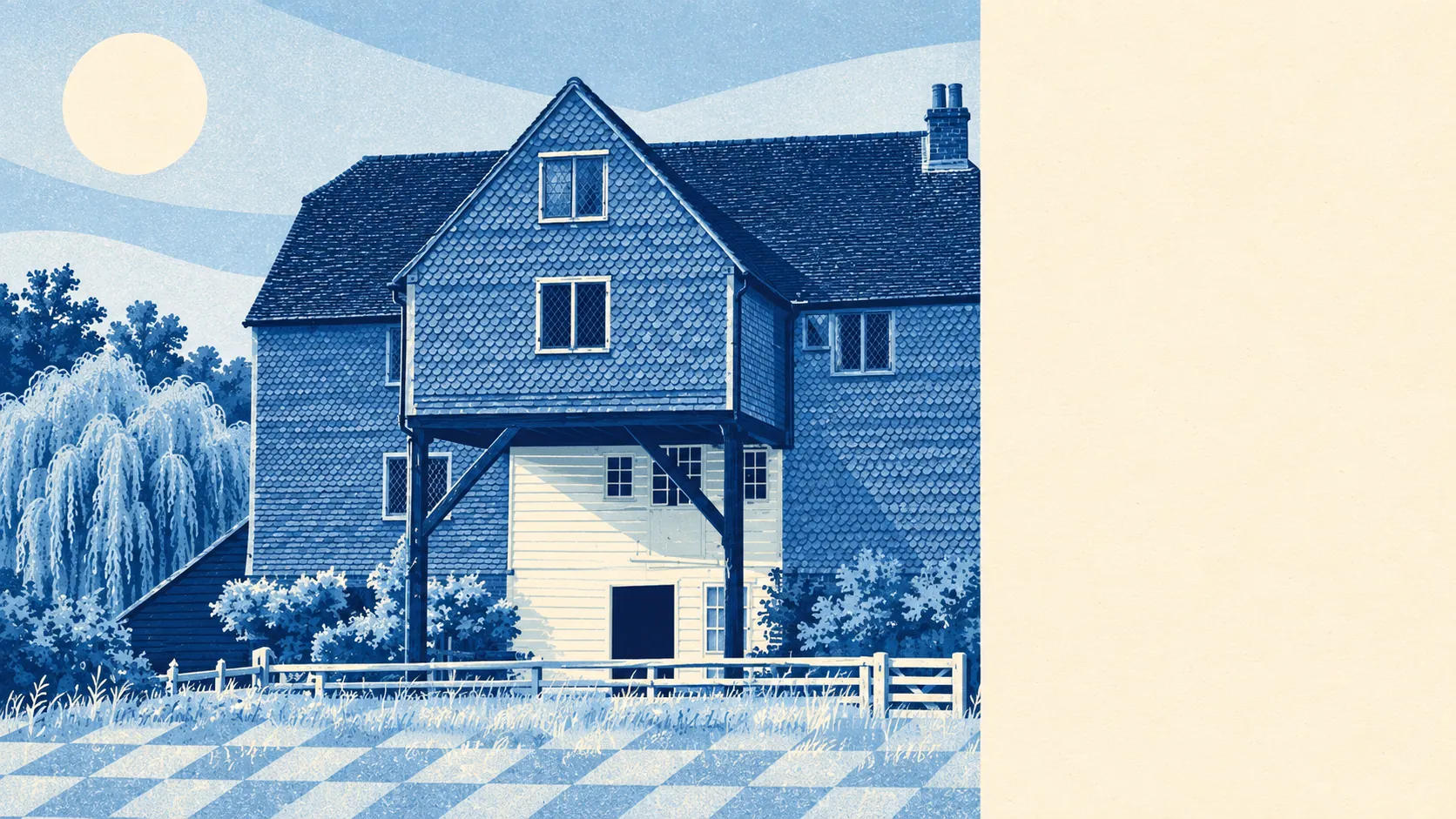
Green, wet and inconveniently pretty for anyone who wanted to build on it. Green space is a street away. There are rivers, streams and ponds by the dozen. A quarter of the land sits in the Surrey Hills. The countryside here isn't somewhere you drive to; it's the view out of the back.
Homes in the Shalford area are typically about 200 metres from the nearest public green space, with around 10 green spaces within a kilometre. That's parks, commons and open ground close enough that walking the dog doesn't need planning.
Water is closer than in most places. The nearest river, stream or pond is typically about 310 metres away, and there are around 28 bodies of water within a kilometre. The Tillingbourne joins the River Wey at Shalford beside the parish church, and Cranleigh Waters meets the Wey at the northern end of the Wey and Arun Canal. The river once carried barges for trade. It now carries people in boats for fun, which is the whole economic history of the Surrey countryside in one sentence.
For getting out into it, the National Cycle Network is typically about 760 metres away, and about 43% of postcodes sit close to a route. There's no ancient woodland recorded inside the area itself.
The Surrey Hills Area of Outstanding Natural Beauty covers about 26% of the area. There are no sites of special scientific interest and no ancient woodland overlapping it, so the protection here comes from the landscape designation rather than from rare habitats.
The surroundings carry their history openly. Chilworth Gunpowder Mills, now a conservation area, recalls the time the river powered the manufacture of gunpowder, and the scheduled earth circles on St Martha's Hill and the bowl barrow at Newlands Corner sit in the hills nearby. In the village, Shalford Mill, owned by the National Trust, stands opposite the Sea Horse pub. It's the kind of area where a Sunday walk passes three centuries before the car park.
Private outdoor space is generous. Across the area there are about 317,000 square metres of private garden for every 1,000 residents. Public green space gets the attention, but plenty of homes come with plenty of their own.
Across the wider surrounding districts there are 384 shops, 56 pubs and 31 restaurants on the property records, so the choice sits across Guildford and the neighbouring villages rather than on one high street. Within the area itself, the business rates valuation list holds 279 rateable premises, the largest group being 79 offices, with 18 shops among the rest. These are premises on the list, not a count of businesses open today, and the offices outnumbering the shops says plenty about where the local economy actually sits.
Eating out is clean. Of 34 rated food premises, about 85% hold the top hygiene score and none sit at the bottom. Nobody's got an excuse for a dodgy kitchen here.
Fine-particle air pollution across the Guildford council area averaged 7 micrograms per cubic metre in 2024. That's a council-wide figure, not a reading for any street in Shalford.
The surroundings are one of Shalford's real strengths: rivers, hills and green space all within a short walk, and a landscape that official protection keeps looking the way buyers hoped it would.