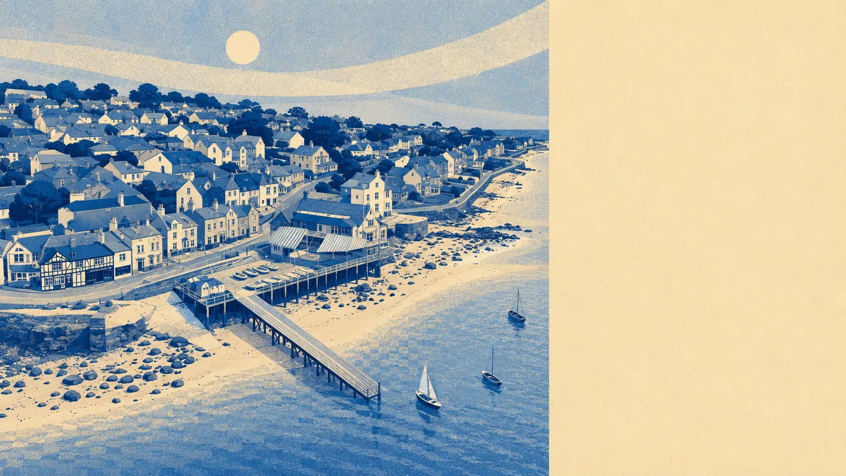
Green, coastal, quiet, and busier in August than the residents would like. The average postcode sits around 175 metres from the nearest park or open space. About two in three postcodes are within 500 metres of the sea. Around eight green spaces lie within a kilometre. A chain of small villages runs across this north-eastern corner of the island, and this one is a link in it.
Green space is everywhere and easy to reach. The average postcode is around 175 metres from the nearest park, open space or registered piece of greenery, with around eight such spaces sitting within a kilometre walk. Water is roughly as close: the average postcode is about 200 metres from some form of waterway, and nearly forty mapped water features lie within a kilometre. The coast is the dominant one, with about two in three postcodes sitting within 500 metres of it and the closest only ten metres from the water. There are no Areas of Outstanding Natural Beauty inside the boundary, no Sites of Special Scientific Interest, and no ancient woodland. The green here is village-scale rather than national-park-scale, and it earns its place by being everywhere rather than by being formally protected. The national cycle network sits about three and a half kilometres from the average postcode, so a serious bike ride begins with a short ride to the network and finishes with a longer one along it.
The character of the surroundings is a chain of small villages and clusters running into each other along the north-eastern coast. Nettlestone shares the civil parish and is a continuation of the same settlement under a different name. Pondwell, Carpenters, Spring Vale and Elmfield sit immediately around. Ryde is the larger town a couple of miles up the coast, where the rail and ferry connections cluster. Further round, St Helens with its harbour and Bembridge with its windmill anchor the eastern tip of the island. To the south, Brading and Sandown sit on the line. The listed buildings in the wider area include the local churches and several substantial houses, including Nunwell House and Woodlands Vale, which give the village edges a country-estate weight where they meet farmland. A Bronze Age bowl barrow known as the Devil's Punchbowl sits on the down to the south. The Solent forts, Horse Sand and No Man's Land among them, sit offshore in the wider seascape. The village's own identity is small Edwardian resort, and the wider area's identity is small-island-coastal: yachts at moorings, footpaths between villages, more sea than road.
For a question about what the area is like, this is the strongest part of what the village has to offer. The green is everywhere, the water is everywhere, and the chain of neighbouring villages gives you somewhere new to walk to every weekend until you have walked them all and started again.