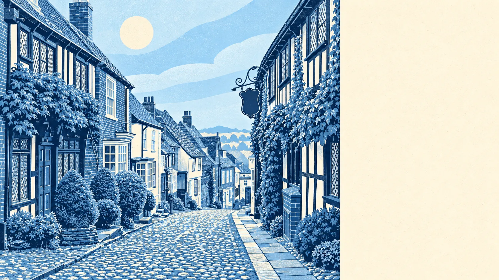
Rye is good, provided you buy uphill. About a third of the town sits in the highest-risk river-and-sea flood zone. Six in ten households own their home. The typical resident is past fifty. The postcard lives on the hill, and the flood paperwork lives on the flat.
Rye's housing is less medieval than the tea towels suggest. Across every home on the council-tax list, terraces make up about 27%, semis 20%, detached houses 17%, flats 17% and bungalows 16%. Only about 31% was built before 1930. The timber-framed houses exist, but they're the minority the whole town is marketed on, and most buyers end up with a twentieth-century house and a boiler. On energy certificates, about 46% of homes rate A to C, 34% sit at D and 20% are E or worse. Around 66% of households are on mains gas and about 13% rely on electric heating alone. That's a question for the viewing, not for your first February.
On prices, the Land Registry's twelve months to May 2026 put the typical sale at about £336,000, across 64 sales. Terraces went for around £312,500, semis about £397,500 and detached houses £500,000. Flats came in at about £176,500, although that's from only eight sales, so treat it as a sighting rather than a market. Council tax most often lands in band C, with about 25% of homes in bands A and B. Nobody moves to Rye for the tax bill, and nobody leaves because of it either.
Renting runs at about £1,160 a month for a typical private let across the Rother area, as of April 2026. That's a district-wide figure, not Rye's own. A cottage inside the old walls will cost whatever the landlord thinks the beams are worth, and the listing will call the ceilings "characterful" because "low" doesn't sell.
Safety is where the cobbles stop matching the numbers. Police.uk records put Rye at about 95 crimes per 1,000 residents in the year to May 2026, roughly 30% above the Rother average. The mix leans away from the national pattern in two places: anti-social behaviour is about 20% of recorded crime against 16% nationally, and criminal damage about 12% against 7%. In a town with 28 pubs and 210 holiday lets, a chunk of the weekend population won't be around on Monday to explain the broken planter.
Getting around depends on having a car. Rye Rail Station and Winchelsea Rail Station cover the rail side, but only about 2% of workers commute by train. About 44% drive, 31% worked from home and 14% walk. Rye's 50 bus stops average about 40 weekday departures each, and 92% of them get a weekend service. The Department for Transport's 2019 modelling puts the nearest hospital about 33 minutes away by car and 66 by public transport. A bypass for the A259 was proposed in the 1980s and 1990s, met local opposition and never got built, so the traffic still comes through town. Broadband is the pleasant surprise: gigabit-capable at about 90% of premises and superfast everywhere, which is better than some towns with a motorway junction.
Flood risk is the serious part, and it gets a straight answer. About 32% of Rye falls in the Environment Agency's river-and-sea Flood Zone 3, the highest-probability zone, with about 3% more in Zone 2. On a separate measure, which counts postcodes flagged on at least one flood indicator including surface water, about 11% carry high risk and 25% medium. About 46% of postcodes sit within the Romney Marshes Area Internal Drainage Board. The shoreline plan is to hold the line for the next twenty and fifty years, then shift to managed realignment over a hundred. The British Geological Survey rates about 94% of postcodes at class 3 or above for compressible ground, and every postcode for running sand. Radon is in the lowest band. The surroundings make up for a lot. The nearest green space averages about 136 metres away, with about 16 within a kilometre, and water is typically 171 metres off. About 93% of postcodes are close to the National Cycle Network, and the High Weald Area of Outstanding Natural Beauty clips the edge. Get the flood search done before the survey. After exchange is too late to find out.
Rye has 317 listed buildings: 5 at Grade I, 11 at Grade II* and 301 at Grade II, including Lamb House, the Ypres Tower and The Landgate. There are 8 scheduled monuments nearby too, including the Rye town walls. The conservation-area count for this boundary comes back as zero. Nobody standing on Watchbell Street with a catalogue of uPVC windows should read anything into that. If your house is listed, the planning officer effectively gets a say on your kitchen.
About 60% of households own their home, about 19% rent privately and about 20% rent from a social landlord. The median resident is 53. Median gross household income was about £48,600 in the financial year to March 2023, averaged across the area. About 22% of households are pensioners living alone, and about 12% are couples with children. Anyone arriving with a pram will be noticed, warmly and often.
This page also covers Camber, the dune village Rye heads to when it wants an actual beach, plus Beckley and Northiam up the Rother valley.
Rye suits people who want old streets, water on three sides and a garden-to-green-space distance you can measure in footsteps. It suits people who work from home on a fibre line and treat the car as the commute, and buyers who can afford to be picky about which contour line they live on.
It suits people less well if they need a fast train most weekdays or a hospital close by. It also won't suit anyone who hears "Flood Zone 3" and assumes the defences will sort it out. First-time buyers hunting for a starter home will find a small flat market and a lot of competition for the terraces.
Rye has attracted residents who could have lived anywhere, including Conrad Aiken, Joan Aiken, Edward Burra, John Christopher and Monica Edwards. It also has a long record of ignoring expert advice. John Smeaton, the father of civil engineering, was brought in to rescue the new harbour in 1763. The harbour commission largely ignored him. The harbour finally opened in June 1787 and was abandoned in November. The town has been better at keeping buildings than keeping plans ever since.
Rye is an average place to live, with an above-average view. Its real strength is the surrounding area: green space and water on the doorstep, the High Weald on one side and the marsh on the other. The weak spot is flood risk, which covers a third of the town and doesn't care how old your beams are. Buy on the hill and the town gives you a lot. Buy on the flat and go in with the flood search already read.