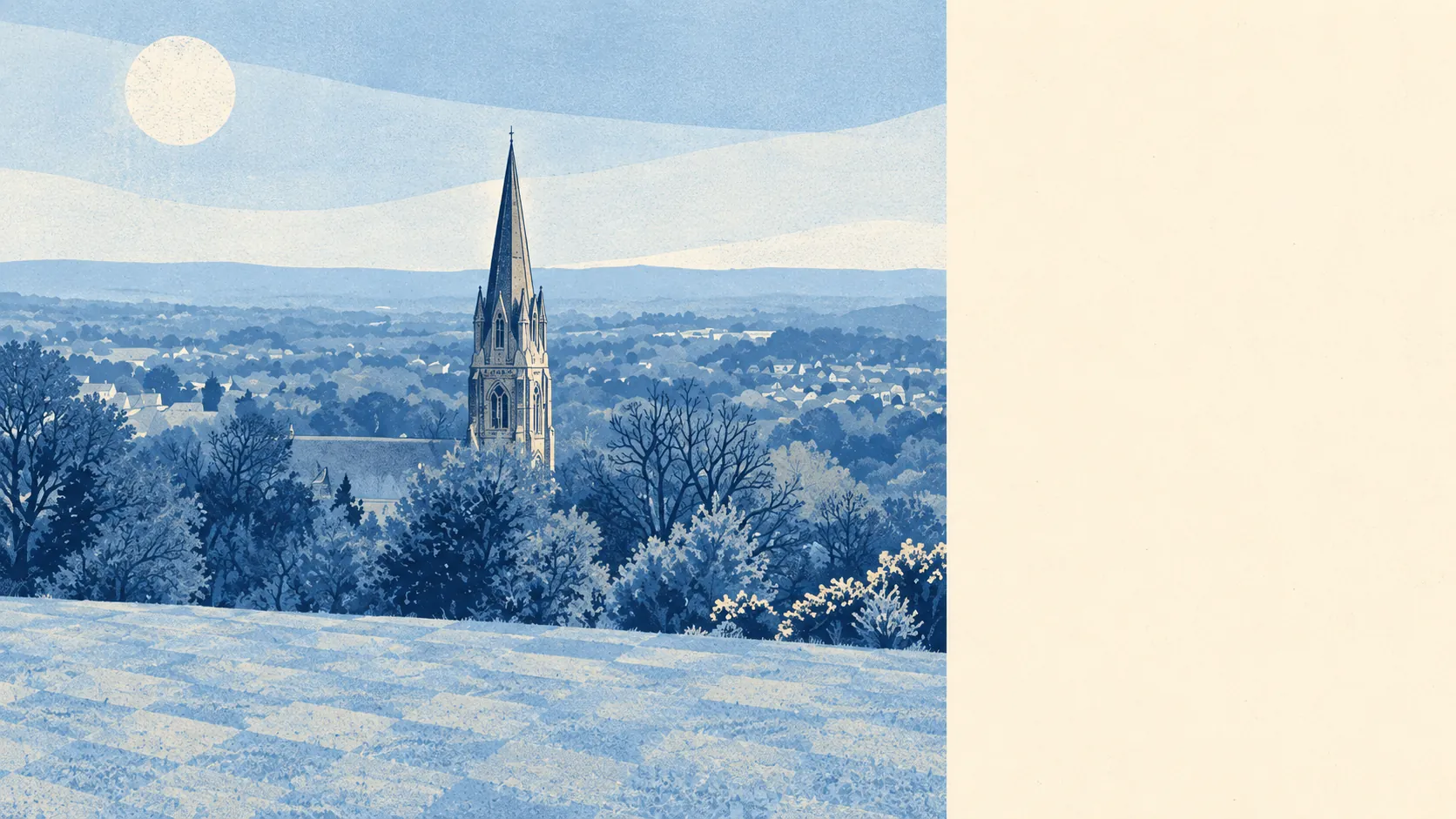
Greener than a railway junction has any right to be. The nearest green space is usually round the corner. There is water within a few hundred metres of most homes. Commons, lakes and a nature reserve ring the town. People move here for the train and end up staying for the walks.
Green space is everywhere. The average home sits about 150 metres from the nearest green space, with 23 separate green spaces within a kilometre. On the Earlswood side, a common with two lakes and picnic areas separates the town from the southern edge of Reigate. Another stretch of common rises on the other side of the gap. Few commuter towns let a buyer leave the laptop at lunchtime and be on open ground before the kettle boils.
Water is closer than the town's name suggests. The average home is about 350 metres from blue space, with 20 bodies of water within a kilometre. The Moors nature reserve to the north-east has lakes, paths and wildlife habitat managed by the Surrey Wildlife Trust, laid out alongside the Watercolour housing development. Mercers Lake in Merstham sits in an old sand quarry, which is Surrey's usual way of turning industry into a view.
Getting out on a bike is straightforward. The National Cycle Network is about 520 metres from the average home, and about 57% of homes sit close to it. There is no ancient woodland within the area itself, so the old-growth walking starts beyond the edges.
The town centre is a working one. The rating list records 539 shops, 51 pubs, 28 restaurants and 779 offices. That office count says plenty about what Redhill does all day, and it is not brunch. Across the whole valuation list there are 920 rateable premises, with offices and shops the two largest categories, followed by warehouses and industrial units. These are premises on a list, not a guarantee that every one is open and trading.
Eating out carries low risk on hygiene. Of the 149 rated food premises, about 66% hold the top hygiene score and about 8% sit at the low end. That's a respectable spread for a town with more office canteens than candlelit tables.
Air quality for the Reigate and Banstead council area averaged about 7 micrograms of fine particles per cubic metre in 2024. That is a borough-wide figure, not a reading for any particular street.
Protected landscape barely reaches the town. The Surrey Hills Area of Outstanding Natural Beauty clips a sliver of the area, well under 1%. There is no site of special scientific interest and no ancient woodland inside the boundary. Redhill's green space is everyday green space, not a postcard, and it is used hard as a result.
The character comes from the geography. The town sits in the Vale of Holmesdale, in a gap cut through the Greensand Ridge, with housing climbing up Redstone Hill and the hillside opposite. To the north, Merstham runs up to the North Downs, with the North Downs Way along its edge. Lower Gatton Park lies to the north as well. Nutfield and Bletchingley sit east along the ridge, and Salfords and Earlswood stretch south.
Private outdoor space holds up too. Redhill has about 97,000 square metres of private garden for every 1,000 residents. That is not the acreage of the villages to the east, but the post-war semis and newer houses give plenty of households somewhere to put a barbecue and a trampoline.
The surroundings are one of Redhill's real strengths. The town centre is built for work, and the ring of commons, lakes and downland beyond it is what makes the place worth living in.