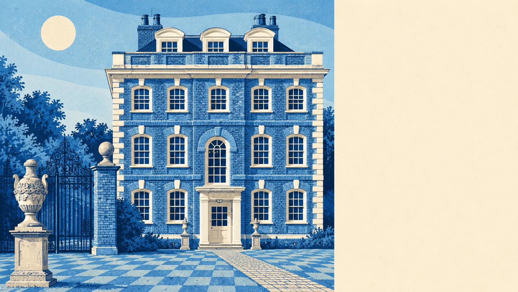
Rainham has much more green space and water around it than an East London suburb usually gets. Most homes have a park round the corner. The river and the marshes are close by. Gardens are a decent size. Down by the Thames it's warehouses, and up in the village it's a medieval church and a Georgian hall.
On average a Rainham home is about 215 metres from the nearest public green space, with 16 green spaces within a kilometre. That's a two-minute walk, a short dog walk at most, and plenty of choice once you're out. Belhus Park and the grounds of Upminster Court are close enough for a longer weekend walk.
Water is even closer than most people expect. The nearest stretch is about 410 metres away on average, and there are about 36 bodies of water within a kilometre: the Thames, the tidal Ingrebourne, Rainham Creek and the old flooded gravel workings across the marshes. For an area mostly known for warehouses, that's a lot of water.
The National Cycle Network is about 600 metres away on average, and about 47% of postcodes are close to a route. The London Loop walking route also passes through on its way to Purfleet. There's no ancient woodland anywhere in the area.
The high street and the rest of the area have 185 shops, six pubs and four restaurants among the premises the council rates. It's a district centre for everyday errands, with Upminster Road South and Broadway doing most of the work. Six pubs is enough for a local, and four restaurants means a big night out probably starts with a train somewhere else.
Fine-particle air pollution in Havering averaged about 8.2 micrograms per cubic metre in 2024, a figure for the whole borough.
Rainham is two places stacked on top of each other. To the north is the old village around the Church of St Helen and St Giles and Rainham Hall, with its gates, lodge and stable block all listed, plus the residential streets that grew out from them. To the south, along the Thames, are the London Riverside business area, the Riverside sewage works, the marshes and, over on Hornchurch Marshes, two of the Dagenham wind turbines. Wennington, at the eastern edge, is a ribbon of village surrounded by Green Belt. South Hornchurch to the north was built on farmland and an old airfield. The wind turbines are probably the closest Rainham comes to a landmark.
Private gardens are generous. The area has about 67,000 square metres of garden for every 1,000 residents, which is the post-war semi doing what it was built for: a lawn, a shed and room for a trampoline.
The valuation list for business rates holds 1,080 premises across Rainham. The largest group is 255 warehouse and storage premises, followed by 183 shops, 150 offices and 148 industrial premises. These are premises on the rating list, not a count of businesses open today. There are more warehouses than shops in Rainham, and that says a lot about what the riverside is for.
Of the 141 food outlets the Food Standards Agency has rated, about 67% have the top hygiene score of five. About 7% are at the bottom of the scale. Most kitchens are in good order, though not all of them.
None of the area is covered by a protected-landscape designation: no area of outstanding natural beauty, no site of special scientific interest, no ancient woodland. The marshes here are a working river edge reclaimed from industry, not a protected landscape, and that's part of why the green space ended up so close to people's houses.
The surroundings are one of Rainham's best features: parks, water and gardens all close to home, more than a suburb with this much industry might lead you to expect.