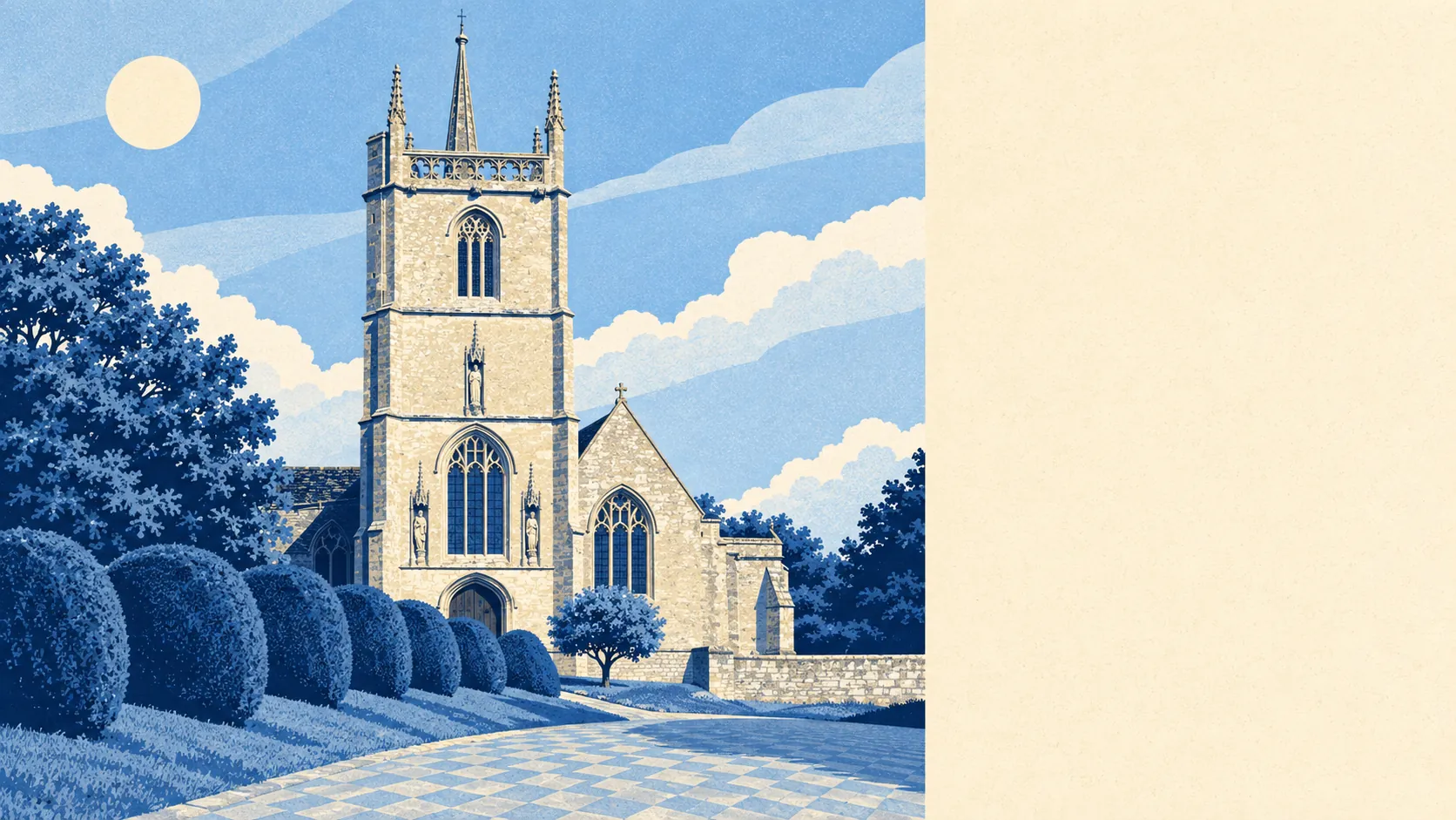
The area around Purton is green, wet in the good way, and very easy to get out into. There's a park or open space every few hundred yards. Water turns up around most corners. The pubs have outlasted plenty of the shops. It's countryside without the smugness of a protected landscape, which means nobody charges you extra for the view.
Green space is close by. On average the nearest is about 264 metres from a Purton home, and around ten green spaces sit within a kilometre. That's a short walk for the dog before breakfast, and the dog will have a choice of routes.
Water is almost as close. The nearest river, stream, pond or lake averages about 330 metres away, with around eight within a kilometre. The River Key runs through the parish near Purton Stoke, and the land falls away from the village towards the Thames floodplain. The ducks have more options than the bus passengers.
Cycling is harder to organise. The nearest stretch of the National Cycle Network averages about 2.7 kilometres away, and none of Purton's postcodes are close to it. Reaching a signed route means a ride along ordinary roads first. There's no ancient woodland inside the area, despite the history. The old royal hunting forest of Braydon once stretched west from here to Minety, and it's now mostly fields.
Across the wider SN5 postcode district, which reaches into Swindon's western suburbs, the property records count 57 shops, 12 pubs and 10 restaurants. Twelve pubs is a respectable number, and one of them, the Angel Hotel, has been hosting dances since American troops were stationed nearby during the Second World War. The shops cover the essentials, not the weekly big shop.
Fine-particle air pollution across the Wiltshire council area averaged about 6 micrograms per cubic metre in 2024. That's a county-wide figure, not a reading from Purton's High Street.
The character comes from the ground and its history. The village runs along a ridge with long views north, and the parish takes in Purton Stoke and the hamlets of Restrop, The Fox, Widham and Hayes Knoll. Ringsbury Camp, an Iron Age hillfort, sits in the fields nearby, and Second World War pillboxes still line the old defence line through the parish. This page also covers Leigh, out on the edge of the Cotswold Water Park. The past here shows up in the fields, not in the gift shops.
Private outdoor space is generous. The area has about 232,600 square metres of garden for every 1,000 residents. Most people here have a lawn of their own to worry about, so the public open space is extra, not the only option.
The village's own rating list holds 59 rateable premises. Shops and offices are among the commonest categories, alongside a handful of pubs and community buildings. These are premises on the valuation list, not a guide to what's trading this week. A premises on the list can be empty, and a counter in a hall can be a café three days a week.
Of the 17 food premises rated for hygiene, about 77% hold the top score and none sit at the bottom. For a village, that's a clean record, and it applies as much to the church-hall tea urn as the pub kitchen.
None of the area is covered by a national landscape designation. There's no area of outstanding natural beauty, no site of special scientific interest and no ancient woodland overlapping it. That means fewer coach parties, fewer rules on what a farmer can plant, and fields that look like fields rather than postcards.
The surroundings are one of Purton's real strengths. Green space and water are in easy walking distance, the pubs have stayed, and the countryside is close enough to use every day.