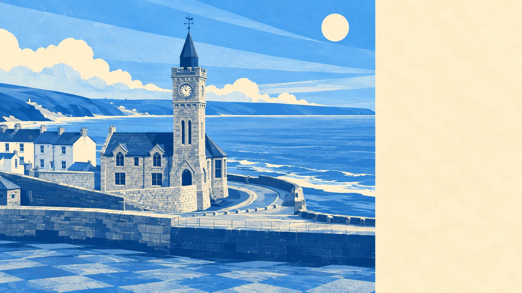
Green, wet, and almost entirely undesignated. Open water sits about as close to the average front door as the nearest patch of green. Gardens here are enormous by the standards of anywhere with a pavement. Nothing in the area carries a national landscape designation of any kind. This is scenery that never bothered filling in the paperwork.
Public green space is close and there is plenty of it. Across the neighbourhoods this page covers, the average postcode sits about 400 metres from a green space, with around 7 separate sites within a kilometre. That is a walk in shoes rather than boots, and it is the difference between a dog that gets exercised and a dog that gets apologised to.
Water is closer still. The average distance to blue space is about 390 metres, with roughly 29 separate bodies of water within a kilometre. In a stretch of coast crossed by streams, pools and the sea itself, water is not a feature of the area so much as the organising principle of it.
The cycling infrastructure does not match. The National Cycle Network averages about 7 kilometres away, and no postcodes here count as close to it. Riding is a matter of lanes and hills rather than of marked routes, which suits some cyclists enormously and leaves the rest driving to a trailhead.
For amenities, the rating list across this part of Cornwall records 314 shops, 48 pubs and 24 restaurants. That is a real high street spread across villages rather than concentrated in one place, which is why the trip for a specific thing is a drive and the trip for a general thing is a walk.
Air quality is good and unremarkable, which is what you want from air. Fine particle levels for the Cornwall council area averaged about 5 micrograms per cubic metre in 2024. That is a council-wide figure rather than a reading taken at the harbour.
The character across the wider area is villages rather than suburbs. Praa Sands sits on the beach, Ashton and Germoe sit inland among lanes, and beyond them the map fills with Breage, Rinsey, Prussia Cove, Godolphin Cross and Praze-an-Beeble. Registered historic gardens at Godolphin and Lismore sit within reach, and Tregonning Hill carries both a conservation area and an archaeological landscape. It is a part of Cornwall where the old industrial history and the postcard version occupy the same fields.
Private outdoor space is the quiet advantage nobody mentions. Across the six neighbourhoods covered, gardens work out at around 284,000 square metres per 1,000 residents. Whatever the house is, it very probably came with somewhere to put a shed, a trampoline and a boat in a state of permanent restoration.
The business picture is small and tourism-shaped. The valuation list carries 483 rateable premises across the area, with 220 offices and 1,055 holiday lets recorded on the wider ownership data, against those 314 shops. Those are premises on a list rather than businesses currently trading, but the balance of them tells you what the local economy is for and who it is for in August.
Eating out is a safe bet. Of 55 premises with a published food hygiene rating, about 87% hold the top score, and about 2% sit at the bottom end. Those are ratings on kitchen practice rather than on cooking, so they tell you where not to worry, not where to book.
One honest absence: no area of outstanding natural beauty, no site of special scientific interest and no ancient woodland overlaps this area. That is not a knock on the scenery. It means the protection here comes from conservation areas and listings rather than from a landscape designation, and the countryside around you carries no special planning shield of its own.
The surroundings are the strongest reason to be here. Water at the end of the road, green space within a short walk, gardens that would cost a fortune anywhere with a train station, and none of it dependent on a designation to prove the point.