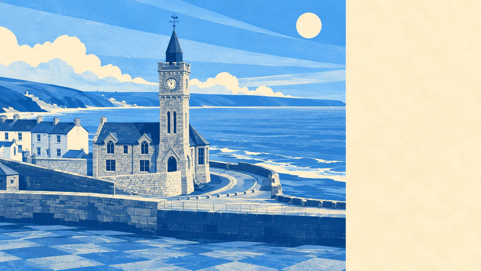
Yes, if you can live in a bungalow and mean it. The harbour is the photograph. The housing behind it is mostly single-storey and mostly owned. Three-quarters own outright or on a mortgage. Crime runs at about half the Cornwall rate. This is a calm, settled, comfortably-into-its-fifties place that markets itself like a storm.
Start with the stock, because it decides most of what daily life feels like here. On the council tax valuation list, bungalows are the largest single type at about 29% of dwellings, with detached houses at 26%, semi-detached at 17%, terraces at 16% and flats at only 7%. Around 37% were built before 1930, so the harbour cottages are real without being the majority. Heating is where the romance runs into the meter: about 7% of homes are on mains gas, 17% run on electricity alone, and 5% have no central heating at all. Energy certificates agree, with roughly 27% in bands A to C and 47% in band E or worse. A granite cottage with electric panel heaters and a sea view is a lifestyle in July and a standing order in January.
The Land Registry's last twelve months put the typical sale at about £348,500 across 80 transactions. Type sorts the rest of it: detached around £430,000, semi-detached around £350,000, terraced around £245,000. The terraced cottage everybody arrives wanting is the cheapest thing on the list, which is also why it is the hardest to get. Council tax sits low, with band C the most common and about 35% of dwellings in bands A or B.
Renting is harder to pin to the village itself. The published measure is county-wide: typical private rent across the Cornwall area was about £1,000 a month as of April 2026. Read it as the county's number rather than the harbour's, because a flat looking at the pier has never priced itself like anything else in Cornwall.
Safety is where this place quietly outperforms. Recorded crime over the year to May 2026 comes to about 38 offences per 1,000 people, against about 74 per 1,000 across Cornwall, roughly 49% below the local authority average. That is a published rate, not a sum done on the back of a viewing brochure. The figure that dents it belongs to Devon and Cornwall Police rather than to Porthleven: the force charges or summonses about 8% of recorded crimes against about 12% nationally. Low crime and low charge rates are a pleasant combination to live in and a maddening one to be a victim in.
Getting out is a car job and everyone here has already accepted that. About 61% of working residents drive to work and about 25% work from home, while buses carry roughly 1% and trains effectively nobody. It is not for want of infrastructure: the area has 95 bus stops, averaging 26 scheduled weekday departures each, and about 92% of the stops with service data run at weekends too. The nearest stations are St Erth and Hayle, both a drive away, and the nearest town centre is about 15 minutes by car or 27 by public transport. Broadband outperforms the roads, with gigabit connections at about 79% of premises and superfast at about 89%, while mobile coverage reaches almost every premises from at least one operator and 95% from all of them. You can work from the kitchen table. You cannot live here without a car and keep a straight face about it.
Water is both the hazard and the point. On the postcode indicators, which include surface water, about 12% of postcodes in the area carry a high rating on at least one measure. On the Environment Agency's narrower river and sea mapping, about 3% of postcodes fall in flood zone 3 and under 1% in zone 2. Twelve flood events are on record, the most recent in 2012. The shoreline management plan is the part nobody frames: the policy for this stretch of coast is to hold the line over the twenty and fifty-year horizons, and no active intervention at a hundred years. Against that, green space averages about 400 metres from the front door with around seven sites within a kilometre, and open water sits at roughly the same distance, which is the whole reason anyone tolerates the rest of it.
If the plan involves buying something old and improving it, read this twice. The area carries 289 listed buildings, 9 of them Grade I and 7 Grade II star, alongside nine scheduled monuments and six conservation areas covering Porthleven itself plus Breage, Germoe, Pengersick, Relubbus and Tregonning Hill. Windows, roofs, rear extensions and the colour of the front door can all become a consent conversation rather than a weekend. None of that prevents you improving a house. It decides who gets a say in it, and how long they take to say it.
The character follows the arithmetic. About 74% of homes are owner-occupied, the typical resident is 54, and median household income across the area was around £49,600 in the financial year to March 2023. Owners who are staying put, rather than a market of people passing through. This page also covers Praa Sands, Ashton and Germoe, so the area on offer is rather wider than the stretch of harbour that gets photographed every winter.
It suits you if you are buying rather than renting, want a bungalow or a detached house with a garden, work from home or have finished working, and treat a fifteen-minute drive to the nearest town as fair payment for the view.
It suits you far less if you need a train, if your budget only stretches to the cheapest thing you can find and then has to heat it, or if your plan is to knock the back off a listed cottage and be done by Easter.
Porthleven lands above average, and it is honest about which parts it earns. Its real strength is safety, which is not a marginal win but a thumping one against the county average, and it holds up across the residential streets rather than resting on one quiet corner. The weak spot is the freedom to change your own house: between the listed buildings, the monuments and six conservation areas, this is a place with firm opinions about what your windows look like. Buy the harbour, and you buy the committee that owns its appearance.