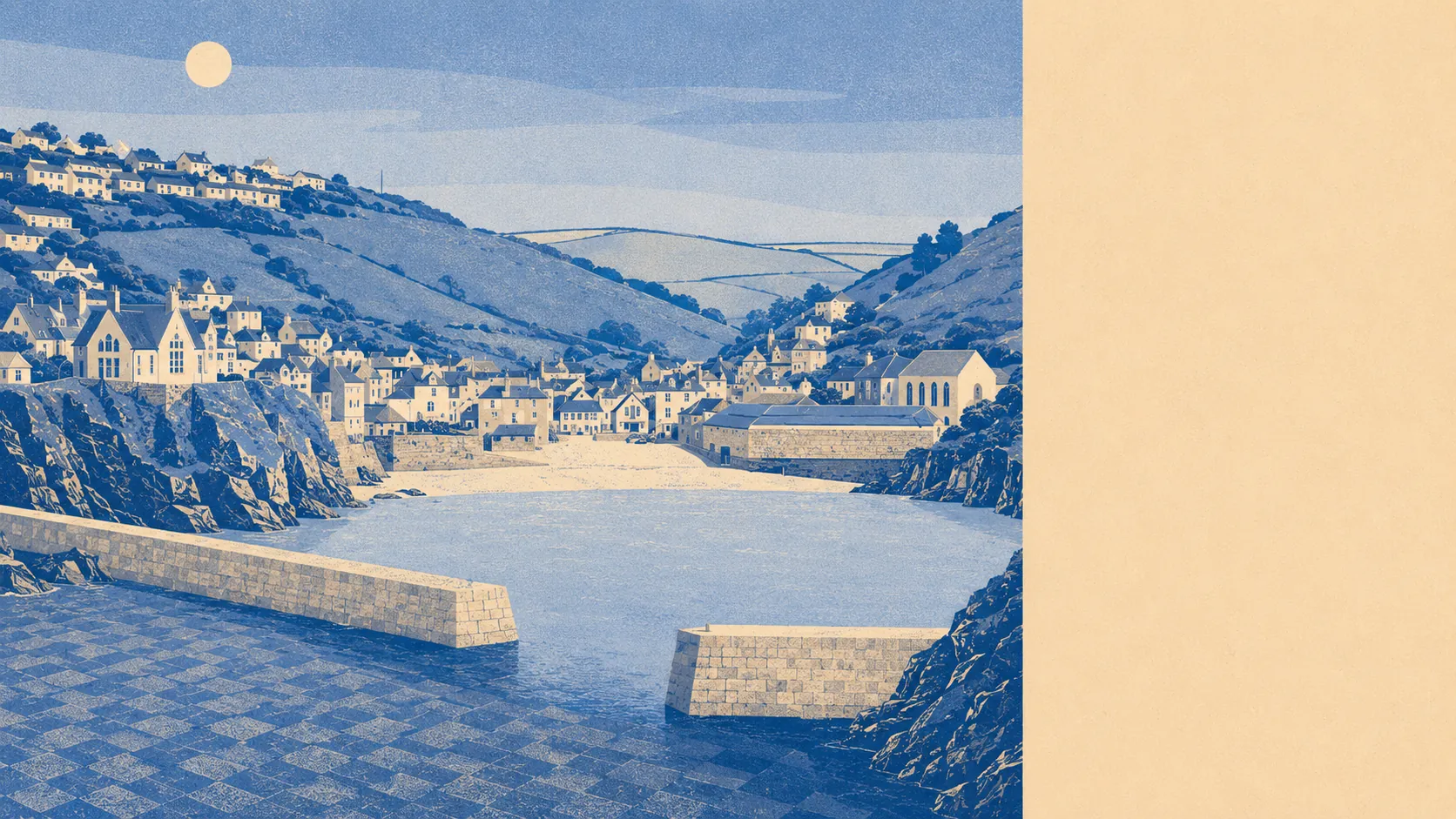
The area around Port Isaac is coast, farmland and small hamlets, with almost no formal protection on any of it. Water sits about 120 metres from the average postcode. Green space is closer than most towns manage. The surrounding parish is scattered rather than built up. This is north Cornwall doing the job without a certificate to prove it, and the countryside is none the worse for the missing paperwork.
On green space, the average postcode here sits roughly 350 metres from open green space, with about 2 sites within a kilometre. Those are modest counts by urban standards and they miss the point of a place like this, where the boundary between the village and the fields is a gate rather than a park railing.
Water is the defining feature. Blue space averages about 120 metres from the postcode centre, and there are roughly 80 water features within a kilometre, which is what the mapping produces when a settlement is wrapped around the Atlantic. The median postcode sits about 125 metres from the coast itself. Nobody moves here for the leisure centre.
Cycling is the gap. The nearest National Cycle Network route averages around 7 kilometres away, and no postcodes here count as close to it, so cycling from the village is a road proposition rather than a traffic-free one. There is no ancient woodland recorded in the area either.
For everyday amenities, the ownership records show 23 shops, 3 pubs and 3 restaurants across the area. That is a functioning small centre rather than a high street, and it means the weekly shop happens somewhere else while the daily one happens here.
Air quality is unremarkable in the way rural coastal Cornwall usually is. Fine-particle levels averaged about 5 micrograms per cubic metre across the Cornwall council area in 2024, which is a council-wide figure rather than a village reading.
The wider parish is where the character sits. Port Gaverne is next door, Port Quin further along the coast, and inland the hamlets run through Trewetha, Trelights, Tregellist, Pendoggett and St Endellion, which carries the parish church. The surrounding countryside holds the Iron Age hillfort at Tregeare Rounds, a bowl barrow above Scarnor Point and the Long Cross, an early Christian memorial stone standing near Trelights. Anyone who thinks Cornwall's history starts with pilchards has not walked far enough inland.
Private outdoor space is genuinely generous. Gardens account for roughly 475,000 square metres per 1,000 residents, which is a different order of private ground from anything a town offers, and it explains why so much of village life here happens behind walls rather than in public parks.
The business register tells you what the area actually is. There are 227 rateable premises on the valuation list for this area, and self-catering holiday accommodation is by far the largest category at 222 entries, with no offices listed at all. Those are premises on a list rather than businesses trading today, but the shape of the list is the shape of the economy: this is a place that rents out rooms rather than employs people at desks.
Eating out is a small field with a good record. Of the 20 premises carrying a food hygiene rating, about 90% hold the top score and none sit at the bottom of the scale. For a village whose customers mostly arrive between June and September, that is better than it needed to be.
Worth being straight about the designations, or the lack of them. No area of outstanding natural beauty overlaps this area, no site of special scientific interest does, and no ancient woodland is recorded. The protection here comes from the conservation area over the village rather than from any national landscape designation, which changes what is defended and by whom.
Surroundings are among the best things about living here: water within a few minutes of the door, big private gardens, hillforts and hamlets inland, and a coast that never stops being the reason anyone came. The one honest gap is that none of it is nationally designated, so what protects it is planning judgement rather than a boundary on a map.