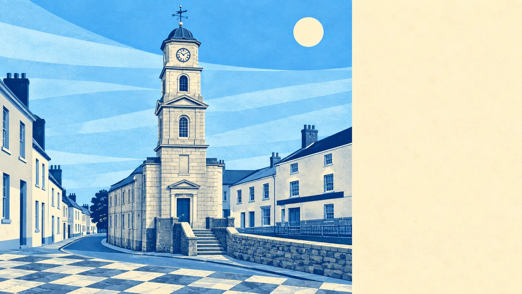
Green, tidal, and generously supplied with both. Open space sits within a couple of minutes of nearly every front door. Water is closer still, because the town runs down to a river that answers to the sea. None of the countryside around it carries a national protection label. It manages to be worth walking in anyway, which is more than some designated scenery achieves.
For green space, homes here average about 140 metres from the nearest site, with roughly 20 of them inside a kilometre. That is not a park at the end of a long walk. That is grass, trees or a churchyard on the way to almost anywhere you were already going.
Water is the other half of it, and by the numbers the more remarkable half. Blue space averages about 160 metres from a home, with roughly 56 separate stretches of it within a kilometre. Creeks, the river, quays and the inlets running off them mean the map around Penryn has more edge than middle.
Cycling is the weak link in getting out into all that. The National Cycle Network sits about 5 kilometres away on average, and no part of the area counts as close to it. There is no ancient woodland recorded within the area either, so the tree cover you walk through is working countryside rather than anything designated.
The wider area has a proper amenity base rather than a single parade. Across the surrounding postcode area the ownership and rating records list about 367 shops, 228 offices, 42 restaurants and 39 pubs. That ratio of offices to pubs is the giveaway: this is a place where people work as well as visit, which is not the standard Cornish arrangement.
On air, fine-particle pollution for the Cornwall council area measured about 5.1 micrograms per cubic metre in 2024. That is the county figure rather than a street-level reading for the town.
The character comes from what sits just outside. Kennall Vale, with its gunpowder works and storage complex, is scheduled monument territory in the woods to the north. The gardens at Enys and the grounds at Carclew sit within reach. Villages ring the town in every direction, Ponsanooth, Mabe Burnthouse, Budock Water, Treverva, Mylor Bridge and Flushing among them, several with conservation areas of their own. Nobody drives far here to find somewhere pleasant to stop.
Private outdoor space holds up too, which matters because public green space figures can flatter a place where every home is a flat. Gardens here work out at roughly 118,000 square metres per thousand residents. Terraced Cornish towns are not famous for their plots, and yet the back-garden arithmetic in Penryn is better than the frontages suggest.
Looking at what is actually on the ground, the local rating list carries 538 rateable premises in the area, and the wider ownership records count about 605 holiday lets across the surrounding postcodes. More premises let to visitors than there are shops, pubs and restaurants combined is the kind of ratio that explains why Cornish towns argue about housing at every parish meeting. Those are premises on a valuation list rather than businesses currently trading, so read them as capacity rather than as a directory.
Eating out is in decent shape. Of the 54 premises with a published food hygiene rating, about 82% hold the top score and only about 2% sit at the bottom of the scale.
One honest absence: no area of outstanding natural beauty, no site of special scientific interest and no ancient woodland overlaps this area. The surroundings are undesignated, unlisted countryside and coast, which means fewer constraints and no loss of quality.
Surroundings are the best thing Penryn has. Water at the bottom of the hill, fields and woods at the top, a garden out the back and a walk to all of it that takes minutes rather than a car journey.