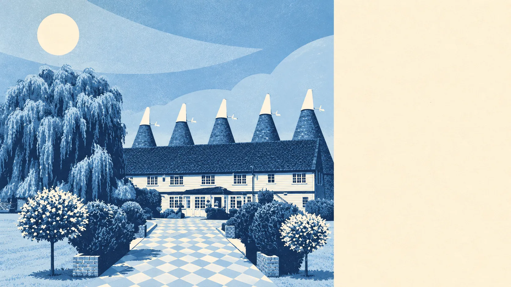
The countryside round Paddock Wood is for using, not for putting on a postcard. There's green space round the corner from nearly every home. There's water almost everywhere you look. It has no official beauty label of any kind. This is working hop country, and it hasn't spent much time worrying about its looks.
The average home sits about 175 metres from the nearest green space, and there are about 21 green spaces within a kilometre. That's closer than most people park at the supermarket. Kicking a ball about or walking the dog doesn't need the car here, which is more than many rural Kent postcodes can say.
Water is almost as close. The average home is about 270 metres from blue space, with about 44 bits of it within a kilometre: rivers, streams, ponds and drainage channels. Much of that water exists because the land is low and wet, and it is as much a feature of the drainage as of the view. Pleasant on a dry afternoon. Worth respecting in a wet winter.
Getting properly out into it takes a bit more effort. The nearest stretch of the National Cycle Network is about 2.8 kilometres away on average, and no postcode sits close to it. There's no ancient woodland inside the area either. The country lanes out to Brenchley, Matfield, East Peckham and Horsmonden are the practical way out.
Across the wider TN12 postcode district the premises list shows 119 shops, 21 pubs and 6 restaurants. That's a district that likes a pint more than a tasting menu. The pub count outnumbers the restaurant count by a distance nobody should need to have pointed out.
Fine-particle pollution across the Tunbridge Wells council area averaged about 6.8 micrograms per cubic metre in 2024. That's a borough-wide figure, not a reading from any particular street.
The character comes from hops and the railway. The town grew in the nineteenth century on the hop trade, and the oast houses and granaries at Whitbreads Hop Farm still stand nearby as listed buildings. Beyond the town edge sit small places such as Five Oak Green, Laddingford, Beltring and Colt's Hill. East Peckham, to the north, has its own conservation areas at Bullen Corner, Little Mill and Snoll Hatch. North of the railway, the town turns into distribution sheds and industrial estates, so the countryside feeling depends on which side of the tracks the house is on.
Private outdoor space is generous. Gardens come to about 186,000 square metres for every 1,000 residents, the measure of how much of their own outdoor space people actually have. With a town of houses rather than flats, most people have a garden, not just a window box.
The valuation list shows what the town is actually made of. Of 259 rateable premises, 53 are shops, 52 are warehouses and stores, 25 are offices and 22 are industrial premises. Those are premises on a list, not a count of businesses trading today, but the split makes the point. For every shop front on the high street there's a warehouse doing something less photogenic north of the tracks.
Eating out comes with clean kitchens. Of 43 rated food premises, about 88% hold the top hygiene score and about 2% sit at the bottom end. That's a small dining scene, but a well-scrubbed one.
No protected landscape overlaps the area: no area of outstanding natural beauty, no site of special scientific interest, no ancient woodland. That isn't a failing. It just means the fields around town are farmed and walked rather than protected, and nobody needs a permit to enjoy them.
The surroundings are Paddock Wood's real strength: parks and water a short walk from almost every door, and generous gardens behind the houses. It won't win a beauty contest, and people who live here would rather be outside than looking at it anyway.