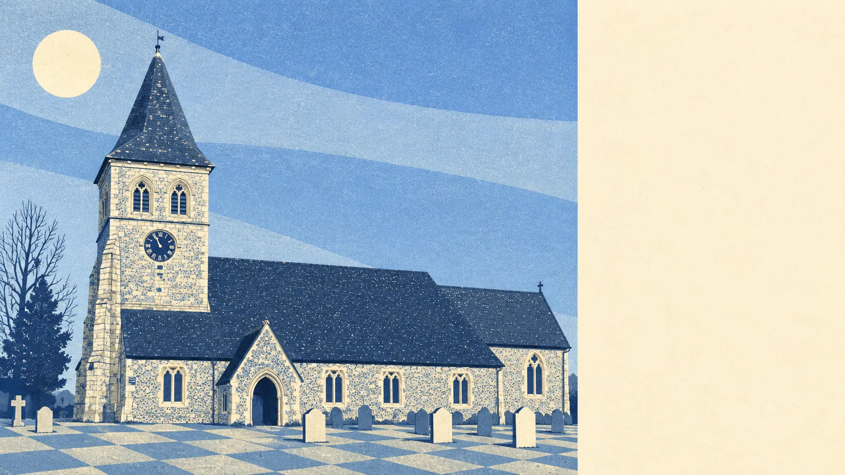
The area around Overton is proper chalk country, and it starts at the back fence. Green space is a couple of minutes from most doors. A river begins just up the valley. Prehistoric burial mounds sit in the fields. This is countryside that nobody has yet turned into a visitor centre.
Access to green space is about as good as it gets. The average home is about 134 metres from the nearest green space, with around 16 green spaces within a kilometre. Nobody in Overton needs to drive to walk the dog, which is lucky, because the dog has no idea how far the town centre is.
Water is close too. The average home sits about 315 metres from the nearest water, with around 29 bodies of water within a kilometre. The River Test rises at Ashe, east of the village, and flows west through it, and its tributary streams and ditches thread through the valley floor. For anyone who fishes, living at the top of a river famous for its trout is either paradise or a lifelong temptation to trespass.
Cyclists get less. The nearest stretch of the National Cycle Network is, on average, nearly 10 kilometres away, and no postcode in the area sits close to it. There is no ancient woodland within the area either. The landscape here is open downland and farmland, not forest.
The high street punches above its size. The rated-premises data counts 38 shops, 15 pubs and 2 restaurants. Fifteen pubs and two restaurants tells you exactly how Overton likes to eat out: in a pub.
Air quality across the Basingstoke and Deane council area averaged about 6 micrograms of fine particles per cubic metre in 2024. That is a council-wide figure, not one measured in Overton itself.
About 2% of the area falls inside the North Wessex Downs Area of Outstanding Natural Beauty, which covers much of the parish to the north. That makes the village a gateway to protected landscape rather than part of it, which is the better arrangement for anyone who wants the view without the planning restrictions.
Character comes from the chalk and the long history under it. The parish is scattered with scheduled monuments: Abra Barrow and its neighbouring bowl barrows, and long barrows near Willesley Warren Farm, Ridgeway Farm and Twinley Manor. The Harrow Way, an ancient track, crosses the parish north of the village. Laverstoke Park lies to the west, past Freefolk, and the hamlets of Polhampton, Quidhampton and Southington sit on the fringes. For five thousand years people have been burying their dead on these hills, and the current residents mostly walk the dog past them.
Private gardens are generous. Across the area, there are about 240,000 square metres of garden per 1,000 residents, which describes a place where most homes have outdoor space of their own, not a window box and a shared bin store.
The valuation list records 81 rateable premises, and the largest group is shop premises, at 33. The next groups are industrial-type units and offices. These are premises on the council's valuation list, not a count of businesses trading today, but they describe a working village, not a dormitory.
Eating out is a safe bet. Of 28 food premises rated for hygiene, about 71% hold the top score, and none sits at the bottom of the scale.
No site of special scientific interest and no ancient woodland fall within the area. The protected landscape is next door rather than underfoot, which leaves the village with plenty of countryside to walk and relatively little red tape in its own streets.
The surrounding area is one of Overton's real strengths: green space on the doorstep, a river at its source and chalk downland running off in every direction. For anyone who wants the countryside close and the admin light, it is hard to beat.