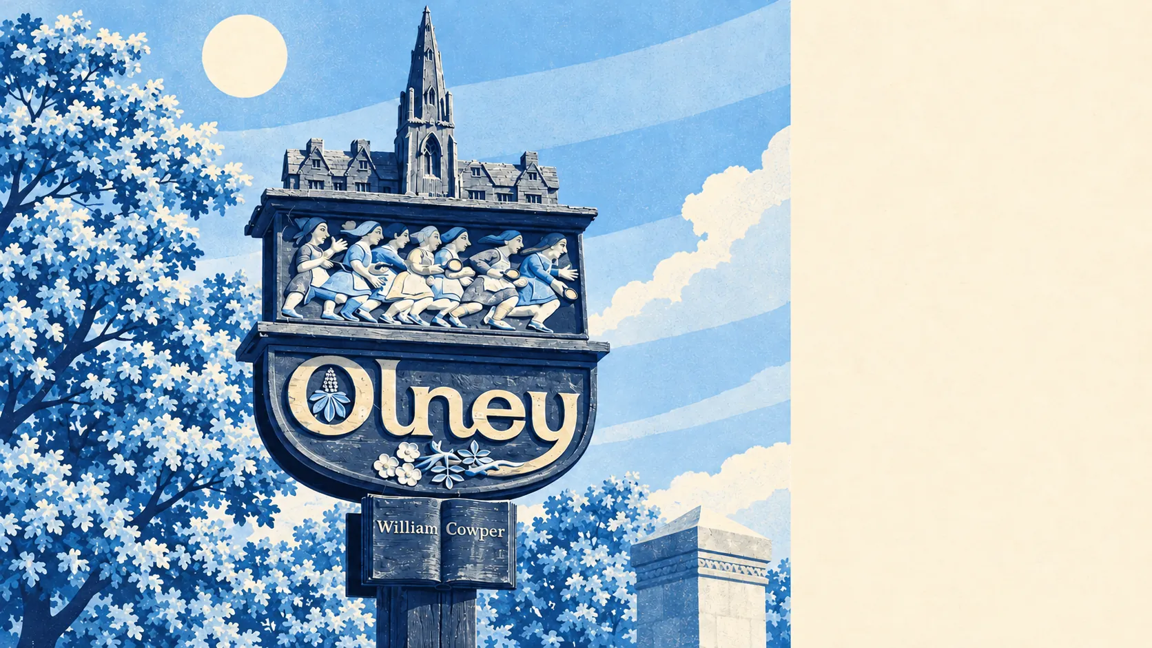
Olney is river-valley countryside with a market town in the middle and green space at almost every doorstep. Parks and open spaces are minutes from most homes. The Great Ouse and its waterways are closer still. The High Street has more pubs than restaurants. Nothing around it carries a grand landscape label, and nobody here seems to mind.
The typical home in the Olney area is about 210 metres from the nearest park or open space, with around 18 within a kilometre. North of the town, Olney Park Farm takes its name from a park Ralph, Lord Basset laid out in 1374, so Olney has had public green space in some form for more than six centuries.
Water is just as close. The average home is about 340 metres from a river, lake or other water, with about 19 such spots within a kilometre. The Great Ouse sets the shape of the place: the town grew at a ford, Olney Bridge carries the road across to Emberton, and the valley floor is the open space that never got built on.
Getting into the countryside on two wheels takes some effort. The nearest stretch of the National Cycle Network is about 8.8 kilometres away on average, and no postcode in the area is close to it. There is no ancient woodland in the area either. The walking is better provided for than the cycling.
The rated-premises list for the area shows 88 shops, 9 pubs and 6 restaurants, along with 107 offices. In a town where the old pubs still line the Market Place and High Street, the pub does much of the work a restaurant would do elsewhere.
Across Milton Keynes, fine-particle pollution averaged about 7 micrograms per cubic metre in 2024, a figure covering the whole council area.
The surrounding area is made up of stone villages and old estates. Weston Underwood, Ravenstone and Clifton Reynes are a short distance out, Lavendon is to the north-east, and Turvey sits over the county border on the river. Within easy reach are the registered historic parks at Gayhurst Court, Tyringham and Turvey House, and Castle Ashby lies a little further off. Most of the grand landscaping round here was paid for by someone else centuries ago.
Private outdoor space is generous. The area has about 165,000 square metres of private garden for every 1,000 residents, which is the measure that actually reflects how much garden people have. Even before the public green space is counted, plenty of households already have their own.
The council's rating list holds 396 business premises across the area, mostly offices and shops, along with workshops, warehouses and some industrial units. These are premises on the valuation list, which is a separate matter from what is trading this week. The mix suggests a town that works as well as shops.
Of the 67 food businesses with a hygiene rating, about 81% hold the top score and none sit in the lowest bands. For the number of places there are to eat, that is a tidy record.
The Olney area has no Area of Outstanding Natural Beauty, no Site of Special Scientific Interest and no ancient woodland within its boundary. What it has is working farmland, a river valley and estate parkland. The beauty here is everyday, with no designation to put it on a sign.
The surroundings are one of Olney's real strengths: green space close to almost every home, water nearby and old parkland in every direction.