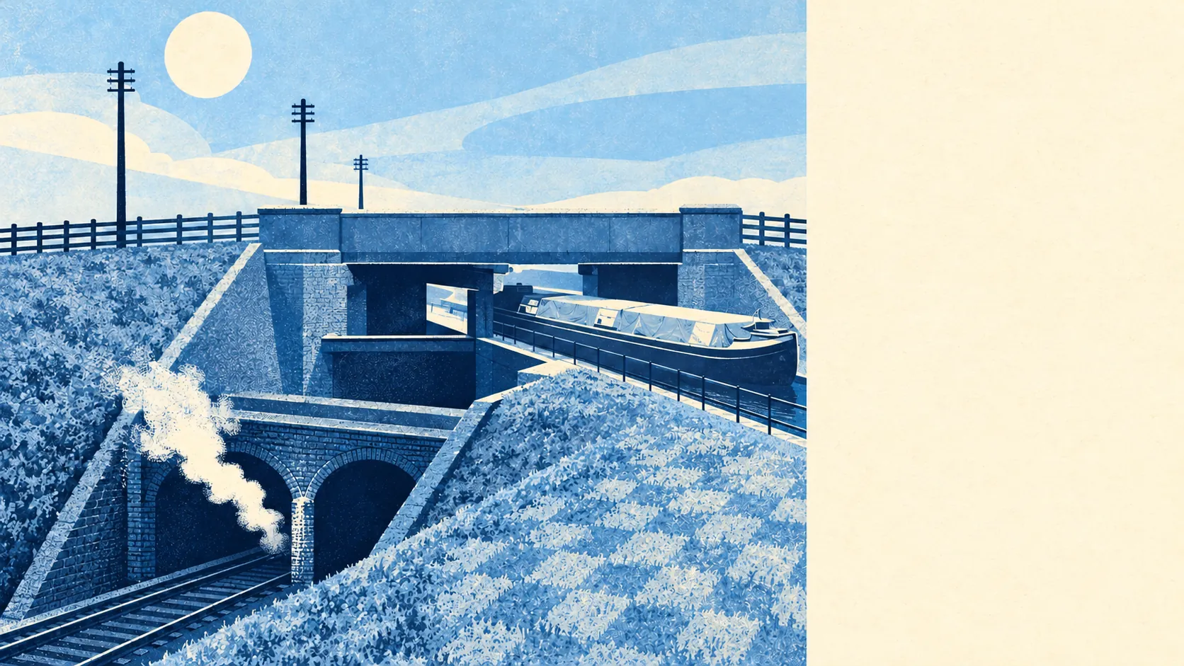
Norwood Green is greener and wetter than its postcode suggests, with parks and canal water closer to most front doors than the bus stop. A park is a couple of minutes' walk from the typical home. The Grand Union Canal runs along the northern edge. The high street side is mostly warehouses and shops, with very few pubs. It is an industrial edge of west London that kept a lot of grass.
Green space is about 120 metres from the average home in Norwood Green, and there are about 33 green spaces within a kilometre. That is close enough that the dog decides when the walk happens. Wolf Fields park, beside one of the village's two pubs, is the local one, and Osterley Park's conservation area is just beyond.
Water is about 230 metres from the average home, with about 46 bits of blue space within a kilometre, and most of it is the Grand Union Canal and the canalised Brent. The canal marks the northern boundary and joins the Brent heading east. Bulls Bridge and St Mark's Church and Canal are both conservation areas built around the waterway, which says something about how much of the place's character is wet.
The nearest stretch of the National Cycle Network is about 7.8 kilometres away on average, and no postcode here is close to it. The towpath does the job locally, but anyone after a long signed route has to ride a fair way to start one.
The rated-premises list counts 304 shops in Norwood Green, 17 restaurants and six pubs. A place with this many people and only six pubs has its social life somewhere other than the bar.
Across Ealing, fine particles in the air averaged about 8.7 micrograms per cubic metre in 2024. That is a borough-wide figure, and a busy road will be higher than a back street.
The character comes from the old village core: the green, a parish church and two pubs, one by the canal and one by Wolf Fields park, with tree-lined roads and a mix of bungalows, semis, terraces and detached houses around them. Beyond that it is southern Southall, with Hanwell, Heston and Osterley as neighbours. Syon Park and Osterley's grounds are a short drive south, and the closer you get to the green, the more the roads look like they belong to a village.
Private gardens add about 29,800 square metres of space for every 1,000 residents. That is outer London, not countryside, but plenty of people here have their own patch of lawn to go with the parks.
The valuation list has 1,246 rateable premises in the area. Warehouses and stores are the largest category at 341, ahead of shops, with 145 factory and workshop premises and 94 offices. Those are premises on the list, which does not mean every one of them is trading. Norwood Green may look like a village, but on the rating list it is a light-industrial district with a green in the middle.
Of the 259 food premises with a hygiene rating, about 45% have the top score and about 24% sit at the low end. A quarter of the area's kitchens near the bottom is a reason to check a takeaway's rating before ordering from it.
No protected landscape overlaps Norwood Green: there is no area of outstanding natural beauty, no site of special scientific interest and no ancient woodland. Its green space is made up of parks, playing fields and canal banks, which is the kind people use every day.
The surroundings are one of Norwood Green's real strengths. Few places this close to London put a park and a canal so close to so many homes.