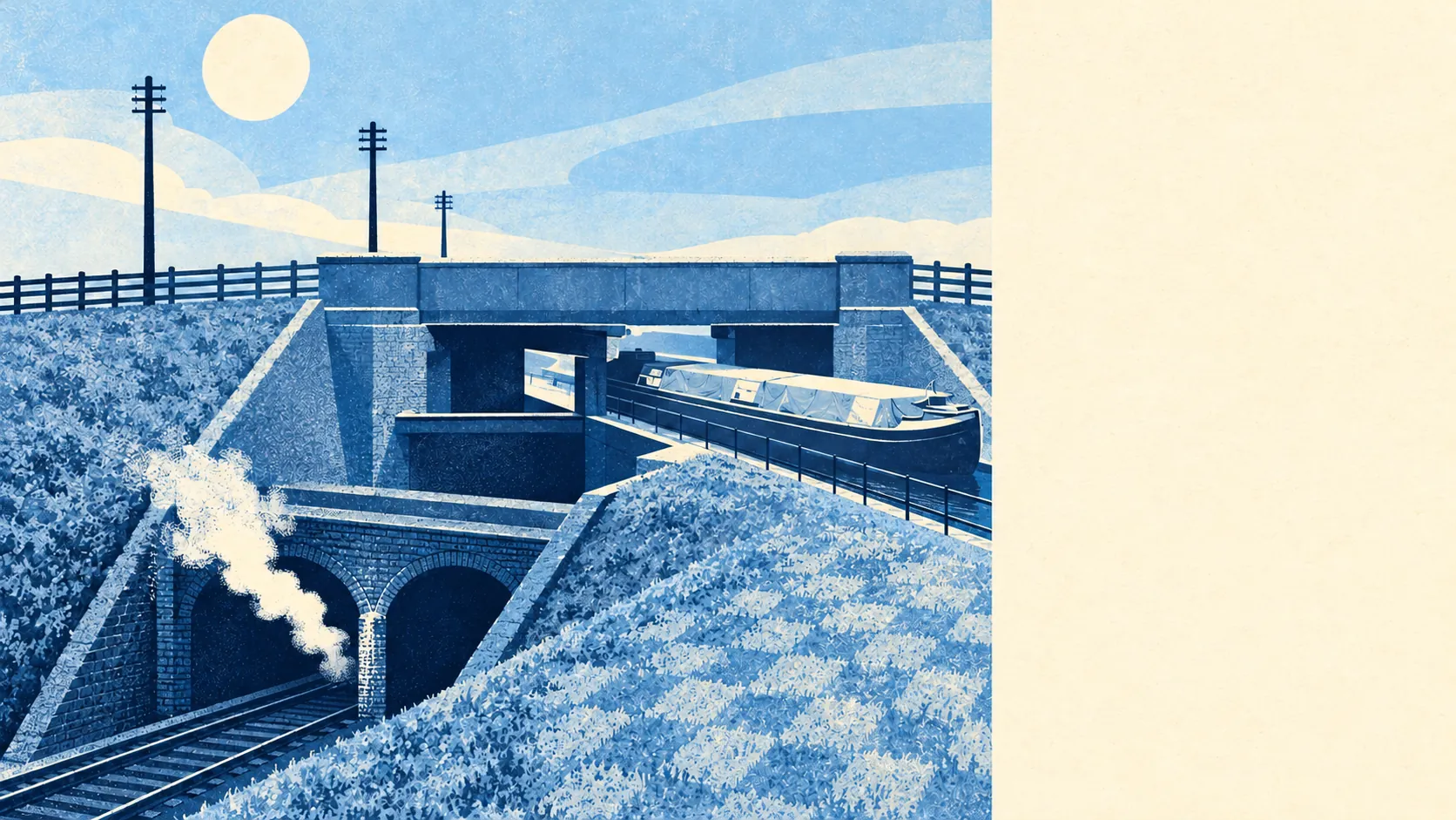
Norwood Green is well connected by bus and broadband, and the train is something most people here see more than use. The buses come often, all week. Few residents commute by rail. Nearly everywhere has fast broadband. The car still does most of the commuting, and the main roads make sure everyone can hear it.
The nearest station is Southall, north of the green, with trains into central London and out to Heathrow Terminals 2 & 3, and Hayes & Harlington and Hanwell are the other stations within reach. Only about 5% of working residents commuted by train at the last census. Buses carried about 20%, from 80 stops across the area. For a place with a main-line station just up the road, the train is mostly how other people get past Norwood Green.
Driving is the biggest single way to work here, at about 34% of working residents, with about 20% working from home and about 9% walking. Cycling is about 2%. About 35% of households have no car at all, and about 26% have two or more. The split is fairly clean: a third of households live without a car and get about by bus, and a quarter have a driveway problem.
The Department for Transport's modelled journey times, from 2019, put the nearest town centre about 10 minutes away by car, 13 by bike, 19 by public transport and 23 on foot. All four are short. A town centre within a half-hour walk is one of the better things about being the southern end of Southall.
Gigabit broadband reaches about 85% of premises and superfast about 97%, with none below the government's minimum service level. Every postcode gets 4G or 5G from every mobile network. Working from home here depends on the job and the household more than the connection.
The bus service is busy as well as dense. The stops here average about 360 scheduled departures each on a weekday and about 19 buses an hour at peak, and every one of the 80 stops has a weekend service. Those are departures counted at each stop, so a busy road with several routes adds up fast. At that frequency the timetable is something residents ignore.
The same Department for Transport model, again from 2019, puts a GP about 7 minutes away by car and 8 on foot or by public transport, and a food shop about 8 minutes' walk or 7 by car. The nearest hospital is about 14 minutes by car and 33 by public transport, and the nearest large employment centre about 7 minutes by car and 14 by public transport. These are averages across the area, the distances will not have moved since, and the public transport times are the ones most likely to have aged, since buses get cut more often than roads get moved. A hospital half an hour away by bus is the one figure here a car-free household would actually feel.
Every postcode in Norwood Green is near or above 65 decibels of road noise, the level at which official noise mapping treats it as significant, and the loudest band reaches 75 decibels. Rail noise is a separate source: about 15% of postcodes are near or above 65 decibels from the railway, and the loudest band there also reaches 75. The mapping covers the outside of buildings, so check the double glazing on any viewing that backs onto the railway or a main road.
There are 31 public charge points in the area, with 64 connectors between them, and one of them is rapid. One rapid charger means charging an electric car here is an overnight plan.
For a typical commute, most people here either drive or take a frequent bus, with the train reserved for central London and the airport. Anyone moving in for the station should time the walk to Southall first.
Norwood Green is better connected than average, thanks to frequent buses, fast broadband and short trips to everyday things, while the roads that carry all of it are loud and the train is used less than its location deserves.