Norwood Green has kept its village green, its listed church and a pub by the canal, but most of the households around them rent. About four in ten own their home. The area's deprivation score has got worse since the previous count. For a buyer, that means a pretty village core with neighbours on tenancies, in a postcode having a harder time than the green suggests.
Norwood Green is the southern end of Southall, with the Grand Union Canal along its northern edge and the canalised Brent to the east. The typical resident is 36, and around 41% of households own their home. The Office for National Statistics models gross household income at about £60,300 for the financial year to March 2023, averaged across the area. That would be a comfortable figure in a lot of England. Here it has to cover outer-London housing costs, which is where comfortable starts to need a spreadsheet.
The Metropolitan Police recorded about 167 crimes per 1,000 residents in Norwood Green in the year to May 2026, roughly 40% above the Ealing average. Anti-social behaviour is about a quarter of the total, against about a sixth across England and Wales, and vehicle crime is around 9% of recorded offences, against 5% nationally. Those are nuisance categories more than violent ones, though a car with a smashed window is a real nuisance for whoever owns it. The green still looks like it should have a village bobby, and its own police station shut in 2008.
The Land Registry recorded 94 sales in the year to late May 2026, at a median of £435,000. The median covers a wide spread. Flats went for about £258,000, terraced houses about £475,000, semis about £536,000, and the five detached houses that sold fetched a median of about £800,000. Five sales in a year makes the detached market here closer to gossip than a market. Council tax is mostly Band C, with about 23% of homes in the two cheapest bands.
Renters pay around the Ealing figure, which the Office for National Statistics puts at about £2,060 a month across the borough. That borough-wide mean runs from about £1,590 for a one-bed to about £2,340 for a three-bed, and was up about 1% on the year to April 2026. It is an average for the whole of Ealing, so it lumps Norwood Green in with the borough's priciest streets as well as its cheapest.
The council-tax valuation list, which covers every home, puts flats at about 46% of the stock, terraces at 32%, semis at 17% and detached houses at 2%. Around 28% of homes were built before 1930. The bigger houses near the green are what people photograph, and they are a small minority. About 70% of homes are heated by mains gas and about 12% by electricity alone. Around 57% of homes with an energy certificate are rated C or better. An interwar flat on electric heating is cheap to buy, and the meter takes some of that saving back every winter.
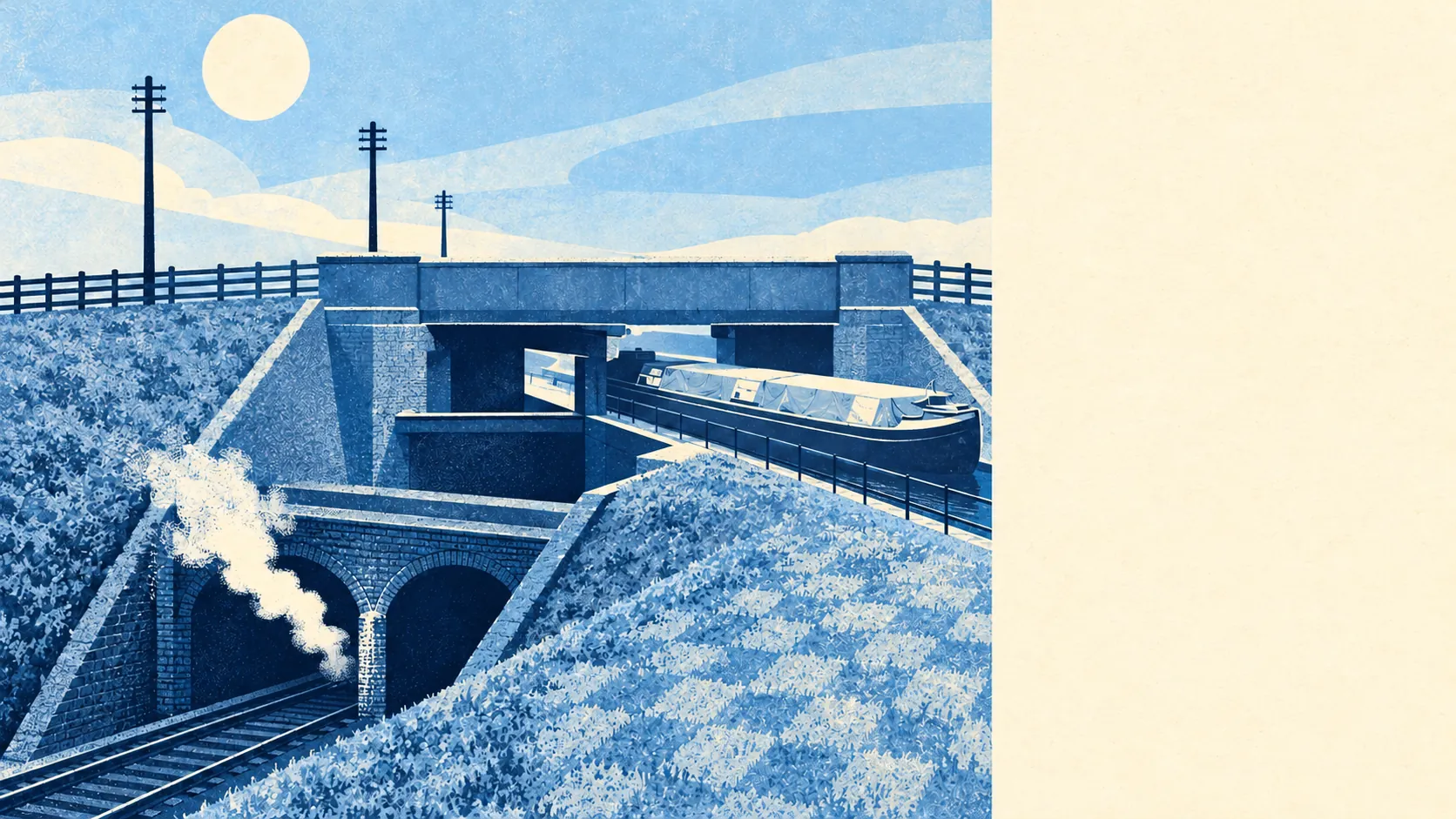
The nearest rail stop is Southall station, north of the green, with Elizabeth line trains towards Heathrow, Reading and central London. At the last census only about 5% of working residents commuted by train. About 20% took the bus, 34% drove and 20% worked from home. The area has 80 bus stops, averaging about 360 weekday departures each and about 19 buses an hour at peak, and every one of them has a weekend service. The Department for Transport's 2019 model puts the nearest town centre about 19 minutes away by public transport and 10 by car. Gigabit broadband reaches about 85% of premises and superfast about 97%. Brunel's Three Bridges stacks a road over a canal over a railway in the north-east corner, and the people living nearby mostly catch the bus.
On the Environment Agency's river-and-sea flood zones, none of Norwood Green's postcodes falls in zone 2 or 3. The wider measure, which counts a postcode if it trips at least one flood indicator including surface water, puts about 12% of postcodes at high risk, 18% at medium and 48% at low. The canal behaves itself. Heavy rain with nowhere to go is the risk here.
Ofsted has graded 36 of the 39 rated settings across Ealing good or better, 14 of them outstanding, and that count covers the whole borough. Closer to home, the 10 primary schools in the district average about 106 in the key stage 2 maths test, and the district's one secondary averages an Attainment 8 score of about 49. Norwood Green Infant and Nursery School, Norwood Green Junior School, Wolf Fields Primary School and Three Bridges Primary School are all local, and Featherstone High School is the nearby secondary. On the 2019 model, the nearest primary is about a six-minute walk and the nearest secondary about 14.
Historic England lists 45 buildings here: four Grade I, six Grade II* and 35 Grade II. Six of them are on the Heritage at Risk register. St Mary the Virgin is the Grade II* church and The Plough is the Grade II pub. Six conservation areas fall within the area's bounds, including Norwood Green itself and St Mark's Church and Canal. Inside them, changing windows, extending or knocking anything down takes extra consent from Ealing. A homeowner planning plastic windows on the green should expect a short conversation with the council.
Green space is where Norwood Green earns its name. The nearest green space is roughly 120 metres from the average home, with about 33 within a kilometre, and water, mostly the Grand Union Canal, is about 230 metres away. Wolf Fields park is beside one of the two pubs. Very few London postcodes put a towpath this close to the pub.
Norwood Green works for a buyer who wants parks and the canal on the doorstep, a terrace for under half a million, and Elizabeth line trains a bus ride away. It works less well for anyone who wants a street of long-staying owners and crime figures below the borough's. Here the green and the towpath belong to everyone, and the neighbours mostly have a tenancy. That makes it an ordinary place to live with an unusually good back garden, and a community that has been getting poorer while the church and the pub looked after themselves.