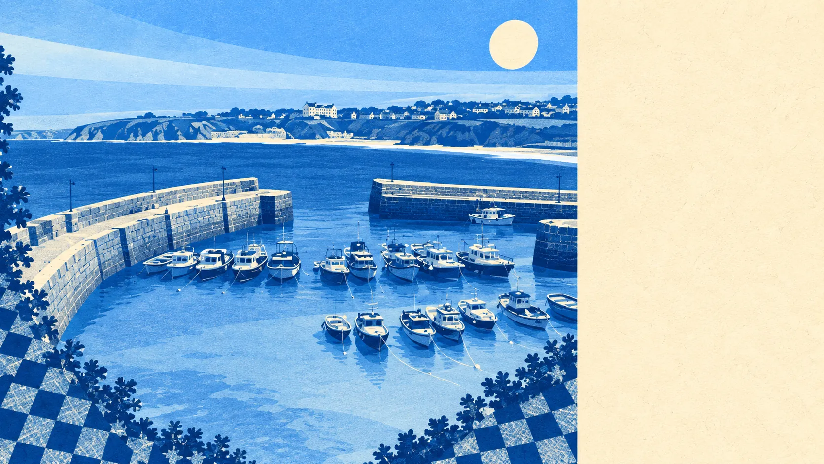
The surroundings are the best thing Newquay has, and it is not close. Green space starts within a couple of minutes of most front doors. Water is closer still. The town sits on a coast that runs from surf beaches to estuary mud within a few miles, with lanes and villages behind it. Whatever the town's reputation does to it in August, the land around it is doing something else entirely.
Green space access is unusually good. A typical postcode sits around 130 metres from public green space, with roughly 18 separate sites within a kilometre. That is not one large park doing the work. It is headland, gardens, cliff path and playing field, arranged so that almost nobody has to plan a walk.
Water is closer than the green space in some places. A typical postcode sits about 290 metres from blue space, with around 53 water features within a kilometre, which is what happens when a town is built between an estuary and the Atlantic. The Gannel on one side, the beaches on the other, and the South West Coast Path threading through the lot of it.
For cycling, the National Cycle Network runs an average of about 660 metres from a Newquay postcode, and roughly 46% of postcodes sit close to a route. Around half the town can reach traffic-free or signed cycling without putting the bike in the car first, which in Cornwall counts as a luxury.
The high street is bigger than a town this size usually supports, because it is feeding a population that swells. Across the valuation list there are 338 shop premises, 43 pubs and 27 restaurants, alongside 215 offices and 1,157 holiday lets. That last figure is the one that explains the shape of the place: the premises mix is built around visitors, and the town lives with the consequences in both directions.
Air quality is clean. Fine particle levels across the Cornwall council area averaged about 5 micrograms per cubic metre in 2024, which is the kind of figure that coastal counties get for free and cities spend decades arguing about.
Character varies sharply within a short distance. Pentire and Porth sit on headlands with the sea on two sides. Trenance holds the valley, the gardens and the zoo. Whipsiderry, Holywell and Crantock are beach-and-dune places rather than town ones. Behind all of that, Quintrell Downs, Cubert, St Newlyn East, Carloggas, Mitchell and Carland Cross are lanes, farmland and villages, which is where a lot of the family housing has ended up. Trevelgue Head carries an Iron Age promontory fort, and the Barrowfields hold Bronze Age burial mounds, so the walk along the cliffs is older than the resort by a few thousand years.
Private outdoor space is generous too, which the public-space figures tend to obscure. Across the 16 neighbourhoods measured, gardens amount to roughly 106,000 square metres per thousand residents. Houses here mostly have their own patch, not just a park down the road.
There are 1,778 rateable premises on the valuation list in total, so the commercial base is broad for the population. On eating out, 294 premises hold a food hygiene rating, with about 84% at the top score and roughly 3% at the bottom two. That is a solid record for a town serving as many meals in August as this one does.
One honest absence: no area of outstanding natural beauty, no site of special scientific interest and no ancient woodland overlap this area. The landscape here earns its quality through coast, estuary and open access rather than through designation, and nobody has drawn a protective line around it.
The surrounding area is the strongest thing on this page by a wide margin, and the one part of Newquay that needs no defending. Green space, water and gardens all sit closer here than almost anywhere manages, and none of it depends on the season.