For most of New Alresford, the flood risk is low. Almost none of the town falls inside the Environment Agency's higher river and sea flood zones. The exposure that does exist is surface water, and even that reaches a minority of streets rather than the town as a whole. A pond and a river sit on the northern edge, which shapes where the risk gathers. Low across the board, sharper in a few specific spots, is the honest summary.
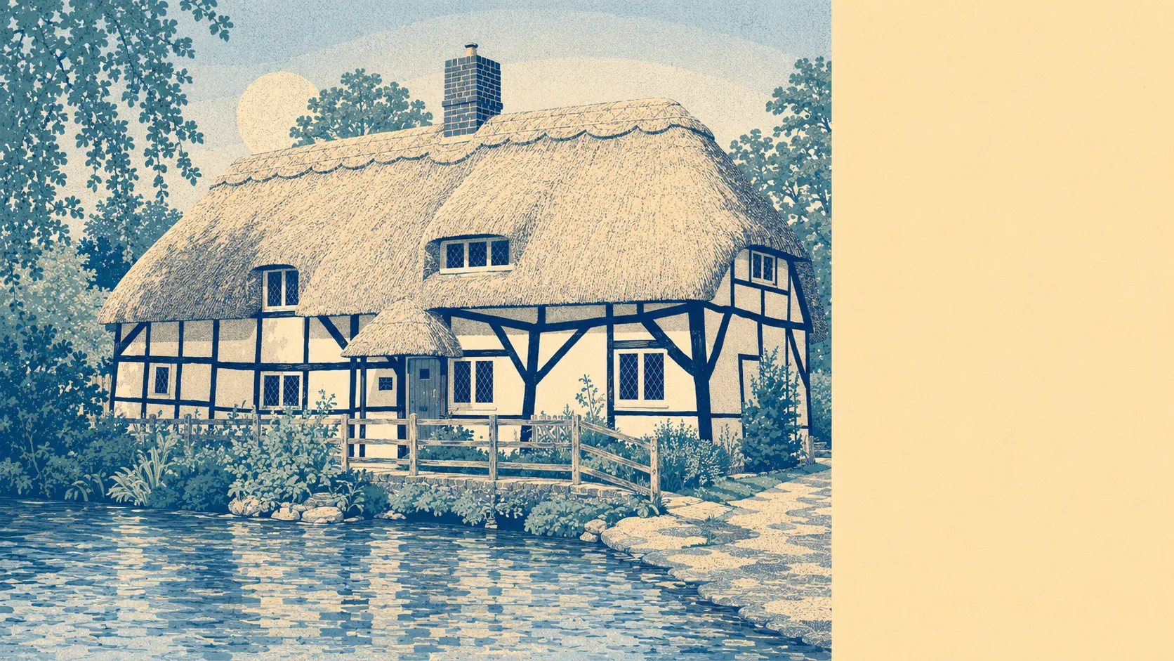
River and sea flooding barely register here. Effectively none of the town sits in the medium river-and-sea flood zone, and only around half a percent falls into the higher zone. In practical terms the town is built mostly above its watercourses rather than down in them. The exception to keep in mind is the northern side, where Alresford Pond and the old weir hold back a body of water that has been part of the landscape since the medieval town was laid out. That water has to go somewhere, and it goes north and out, away from most of the streets people live on, but it does mean the far northern edge is the part of town where water is a live consideration rather than a background one.
Surface water is where the real, if modest, risk lives. Around eight percent of the town's postcodes carry some high surface-water flood risk, another seven percent or so carry a medium risk, and close to one in five carry a low risk. Read the other way, that leaves the clear majority of streets with no notable surface-water exposure at all. This is the rain-driven kind of flooding, where a heavy downpour pools on a particular road or in a particular dip rather than a river bursting its banks, so it is very much a street-by-street matter rather than a whole-town verdict.
Looking forward, the climate-adjusted modelling nudges things only slightly. Once future rainfall and higher water levels are factored in, the share of the town in the higher flood zone rises to a little over one percent, up from around half a percent today. That is still a small number, but it points the same direction the whole country is pointing, and the creep sits where you would expect it, closest to the river and the pond. For anyone planning to hold a house here for decades rather than years, it is worth weighing.
On insurance, the town-wide picture is reassuring enough that most buyers should find standard buildings cover at ordinary premiums, because most homes here carry no meaningful flood exposure. The homes that need care are the minority near the water or sitting in a surface-water pocket. For those, an insurer will price the specific address rather than the postcode, and the sensible move is to pull the flood history for that exact property and get a written quote before you commit, rather than assuming the comfortable average applies to the particular house.
The verdict lands in the middle, and honestly so. New Alresford is not a flood-prone town, and the great majority of it carries little to worry about. A small number of homes near the pond and the river, or on the wrong low stretch of road, carry genuine surface-water risk, so the answer that matters is the one for the address, not the one for the town.