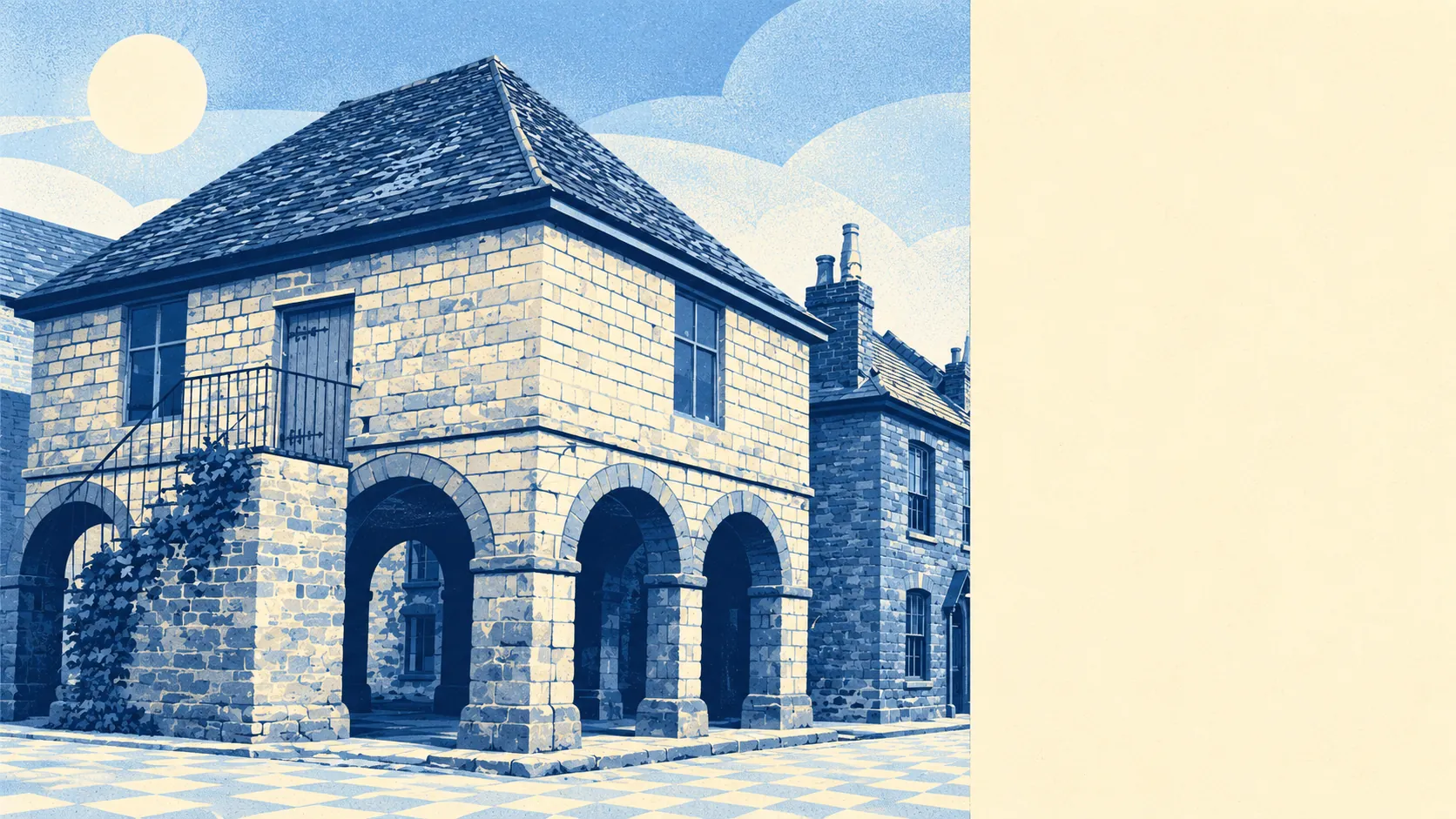
Mitcheldean leaves you more freedom with your own house than you probably expect, and less certainty about the ground floor. Only a handful of buildings are listed, so most of the stock can be extended without a fight. About four in ten postcodes are in the river-and-sea flood zone. Planning the conservatory is the easy bit. The hard bit is knowing whether you're in the four or the six.
Historic England's listings cover 16 buildings in Mitcheldean: one Grade I and 15 Grade II. There is one conservation area, named after the town. Most homes are nowhere near either, so altering them is a matter for ordinary planning permission and your neighbours. Owners are getting on with it. The Forest of Dean council logged 126 planning applications in the twelve months to June 2026. If you buy on one of the post-war roads, listed building consent is something that happens to other people.
Flood is where the shine comes off. The Environment Agency's mapping puts about 41% of Mitcheldean's postcodes in the river-and-sea flood zones, and all of that share is in zone 3, the higher-risk band, with none in zone 2. A wider measure counts postcodes at high risk on at least one flood indicator, surface water included, and that comes out at about 44%. The same mapping shows flood defences across that 41%, though all that means is that the model has a defence in it. Nobody should take it to mean the kitchen stays dry. No historic flooding is recorded for these postcodes, and that is the one line a seller will be keen to read out to you.
The Land Registry recorded 25 sales in the twelve months to May 2026, at a typical price of about £226,000. Thirteen semis sold for around £215,000, six terraces for about £220,000 and six detached houses for around £280,000. When a terrace costs more than a semi, it tells you how few houses changed hands. Council tax is mostly band B, and about 58% of homes are in band A or B. A band D bill is about £2,440 a year.
Renters are working from an area figure. Typical private rent across the Forest of Dean was about £820 a month in April 2026, up about 2% on the year. That average covers the whole district, flats and detached houses alike, so it says little about any one street in Mitcheldean.
The council-tax valuation list counts every dwelling, and on that list the town is mostly houses. About 34% are semis, 30% detached, 15% terraced and 12% bungalows, with flats at only 8%. Only about 23% were built before 1930, so this is mostly younger brick. Energy certificates put about 47% of certified homes in bands A to C, about 40% in band D and about 14% in E or worse. About 68% heat with mains gas. Anyone hoping for crooked beams and inglenooks will find a few, mostly in the conservation area. The rest of the town was built for central heating and a car on the drive.
That car matters. About 58% of working residents drive to work, about 27% work from home, about 2% take the bus and no one commutes by train. That last figure is easy to explain, because Mitcheldean has no station. There are 24 bus stops, averaging about 15 weekday departures each, and every stop with timetable data has a weekend service. The buses run on Sundays. The town mostly doesn't use them. Gigabit broadband reaches about 93% of premises. The Department for Transport's 2019 modelling puts the nearest hospital about 35 minutes away by car and about 51 by public transport. Bus services have had years to thin out since then, so the second figure is the one to doubt.
About 75% of households own their home. The median resident is 46. The Office for National Statistics models gross household income at about £49,500 for the financial year to March 2023, averaged across a wider area than the town itself, and unemployment was about 2% at the Census. In the 19th century the town grew on money from Wintles' Forest Brewery. Today's economy is a lot drier.
Gloucestershire Constabulary's published figures give Mitcheldean about 37 crimes per 1,000 residents in the year to May 2026, 102 recorded offences in all. That is about 14% below the Forest of Dean average. Totals this small can move a long way on a few incidents, so the gap is better than a bad result, though it doesn't prove much.
Green space is close. The nearest is about 130 metres from the average front door, with around seven within a kilometre, and the nearest water is about 650 metres away. Most residents can be on grass before the kettle has boiled.
Mitcheldean is right for buyers who want a house to change: owners planning an extension, a loft or a garden room, who are happy to drive and work from home. It is the wrong place for anyone who needs a station, a short trip to hospital or a building with centuries of history in its walls. It is also the wrong place for anyone who would rather not learn their flood zone before they learn the school run.
The verdict is better than average, and the reason is in the plans. Here you can build what you want on most plots, with few listings in the way. Your real limit is the flood map, and in Mitcheldean that is drawn by the water. Buy at the dry end and extend.