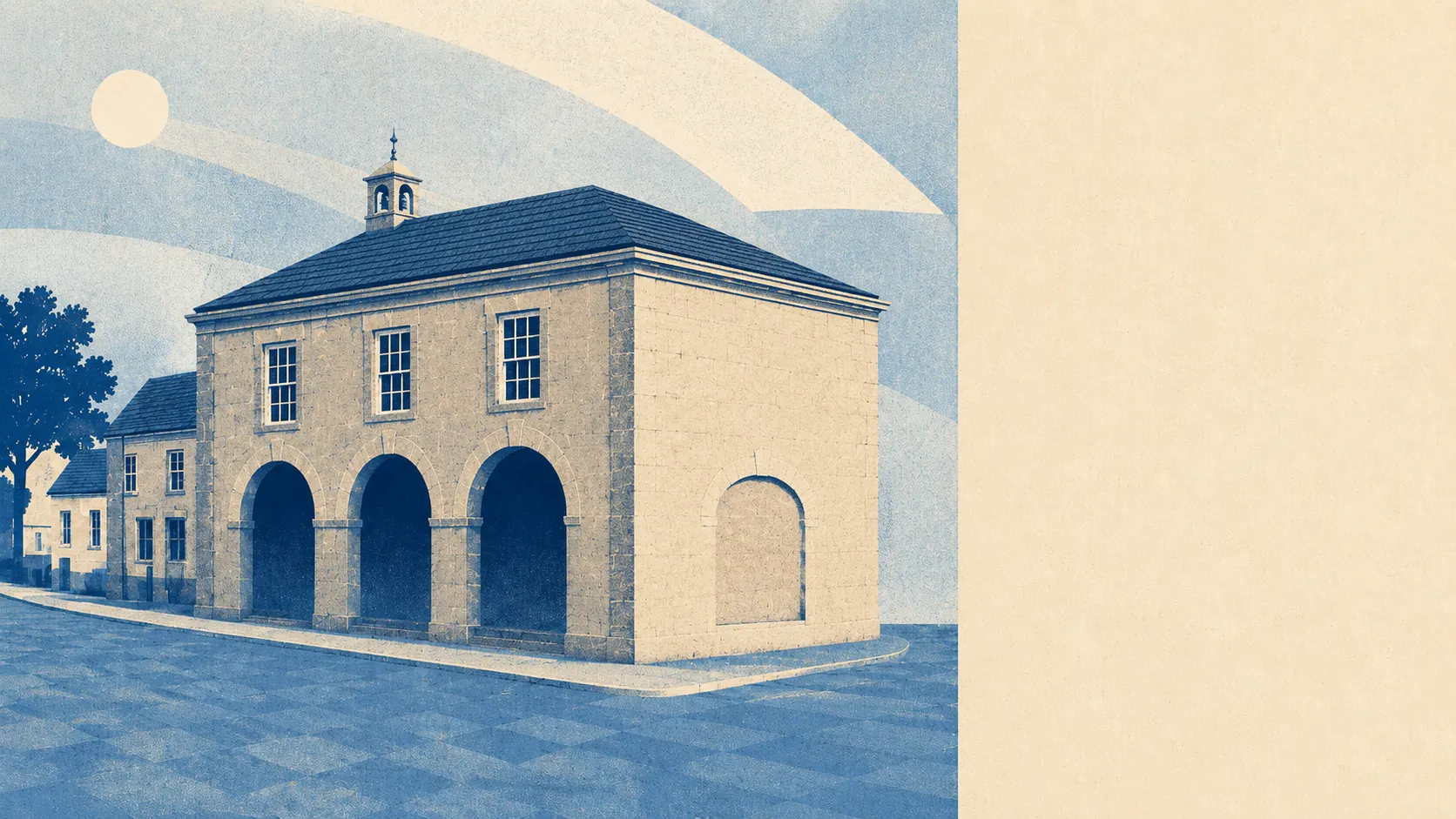
Farmland with villages pressed into it, and no visitor centre in sight. Green space starts a few hundred metres from most front doors, with half a dozen patches inside a short walk. Water is closer than the shops. Nothing around here carries a protected-landscape label, which is a large part of why it stays quiet. This is ordinary English countryside getting on with being countryside.
The green space mapping puts the average distance to the nearest accessible space at about 340 metres, with roughly six of them within a kilometre. That is not a park-per-postcode arrangement so much as fields, greens and churchyards arriving at the end of most lanes.
Water is similarly close at hand. The nearest blue space averages about 370 metres, and there are around 12 within a kilometre. In practice that means streams, ponds and the small watercourses that thread between the villages rather than anything you would launch a boat on.
Cycling infrastructure is the gap. The nearest National Cycle Network route sits about 5 kilometres away on average, and only about 5% of postcodes are close to one. There is no recorded ancient woodland in the area. Cycling here happens on lanes, which is either the appeal or the deterrent depending on how much traffic a rider is willing to share a hedge with.
For everyday amenity, the rating records across the wider area list 342 shop premises, 79 pubs and 27 restaurants. That pub count against that restaurant count tells its own story about how this part of Somerset chooses to spend an evening.
Air quality for the council area was measured at about 5.5 micrograms per cubic metre of fine particles in 2024. That is a council-wide figure rather than a village one, and it reflects the absence of anything industrial for a long way in any direction.
The character comes from the arrangement rather than any single landmark. Villages sit close enough together to share a primary school and far enough apart to keep their own names, with Milborne Wick and Kingsbury Regis attached to the parish itself and Charlton Horethorne, Henstridge, Horsington and Stalbridge filling the map around it. Sherborne provides the nearest proper town with its abbey and its two castles, and Wincanton does the same duty to the north. The hillfort at South Cadbury and the parkland at Hazlegrove House are the two set pieces most people take visitors to see.
Private outdoor space is where this area quietly outperforms. Gardens amount to roughly 324,000 square metres per 1,000 residents. Anyone arriving from a town where a garden means a paved rectangle and a wheelie bin will need to recalibrate, and probably buy a mower.
On the valuation list there are 301 rateable premises in the immediate area, with the wider records showing 379 office premises and 147 holiday lets. Those are premises with a rating entry rather than businesses currently trading, so the numbers describe what exists as floorspace rather than what is open on a Tuesday. The holiday let count is the interesting one: enough of them to shape the summer, not enough to hollow out a village.
Of the 53 food premises with a published hygiene rating, about 74% hold the top score and about 2% sit at the bottom of the scale. That is a respectable spread for a rural area where the kitchens are mostly small and mostly independent.
Worth being straight about the designations: the mapping records no area of outstanding natural beauty, no site of special scientific interest and no ancient woodland within the area. That is not a criticism. Undesignated countryside is countryside without coach parties, and the fields do the same job either way.
The surroundings are among the strongest arguments for living here. Green space at the end of the lane, water closer than the corner shop, and gardens generous enough to justify the drive to everything else.