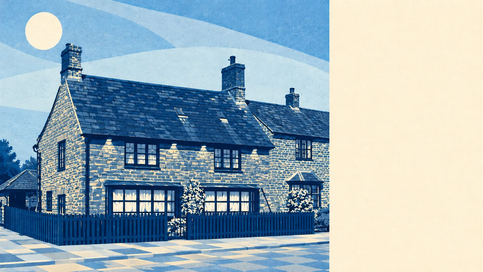
Middleton Cheney is surrounded by open, ordinary farmland with a lot of green close at hand. Most front doors are a short walk from a park or field. Gardens are generous. Nothing nearby carries a protected-landscape designation. Living here is about having space around the house, with no famous view to go with it.
The average home in Middleton Cheney is about 150 metres from the nearest public green space, with around 17 green spaces within a kilometre. Most residents can reach grass in the time it takes to find the dog lead.
Water is a little further off. The nearest water is about 650 metres from the average home, with about two bodies of water within a kilometre. The Oxford Canal has its own conservation area nearby, which is the closest the district comes to a waterfront.
Cyclists have more work to do. The National Cycle Network is about 5.4 kilometres from the average home, and no postcode in the village is close to it. Anyone who wants a signed route has to drive or ride to it first.
The rated-premises data for the wider OX17 postcode district lists 30 shops, 26 pubs and one restaurant. Locals in the district clearly prefer to eat with a pint in hand.
West Northamptonshire averaged about 7.2 micrograms of fine particles per cubic metre of air in 2024, a figure for the whole council area that includes its towns and main roads.
Around the village, the place names are small and old. Chacombe, Thenford and Marston St. Lawrence each have their own conservation area, as do Farthinghoe, Overthorpe and Thorpe Mandeville. The scheduled monuments include the Lower Thorpe bowl barrow and a Roman villa south-east of Thenford House. A Roman chose this patch of countryside for a villa long before anyone built a bypass.
Private outdoor space is plentiful. Across the village's three statistical areas, gardens add up to about 145,000 square metres per 1,000 residents. With most homes detached, semi-detached or bungalows, a back garden comes as standard, and the parks are extra.
The business rates list shows 54 rateable premises in the village itself. Shops and offices make up the two biggest groups, with 11 of each, and the rest is a scatter of smaller categories. These are premises on the valuation list, some of which may not be trading. The list describes a village where most daily needs are met close by and the bigger shopping trip goes elsewhere.
The Food Standards Agency has rated 15 food premises in the village, and about 87% hold the top hygiene score. About 7% sit at the low end, which with only 15 premises comes down to a single rating.
No area of outstanding natural beauty, site of special scientific interest or ancient woodland overlaps the village. The countryside here is ordinary working farmland, and it is right outside the back door for most residents.
The surroundings are a real strength. Green space, generous gardens and open country are on hand for nearly every home, and nobody has had to turn any of it into a tourist attraction.