Green, wet and right on the doorstep. There's public green space within a short stroll of most front doors. The rivers are closer still. A corner of the Cotswolds reaches in at the edge. Here the countryside isn't a drive away, it's the view over the back fence.
Green space is close and there's plenty of it. The average home is roughly 160 metres from the nearest public green space, with about 16 separate spaces within a kilometre. That's a choice of walks, not one park everybody shares. Abbey House Gardens, replanted in 2022, open to visitors now and then, which is about as often as a private garden next to an abbey ought to.
Water is closer than the grass. The nearest river, pond or stream is about 170 metres from the average home, and there are around 40 bodies of water within a kilometre, which is what happens when a town sits on a hill between two branches of the Avon. Across the Sherston branch lies Daniel's Well, a hollow named after a monk who reputedly sat in the cold water every day for decades to calm his fiery passions. Modern residents mostly settle for a riverside walk.
Cycling out into it takes some planning. The nearest National Cycle Network route is on average about 6.7 kilometres away, and no postcode in the area sits close to one. The lanes out to Brokenborough, Corston or Foxley are where most rides start.
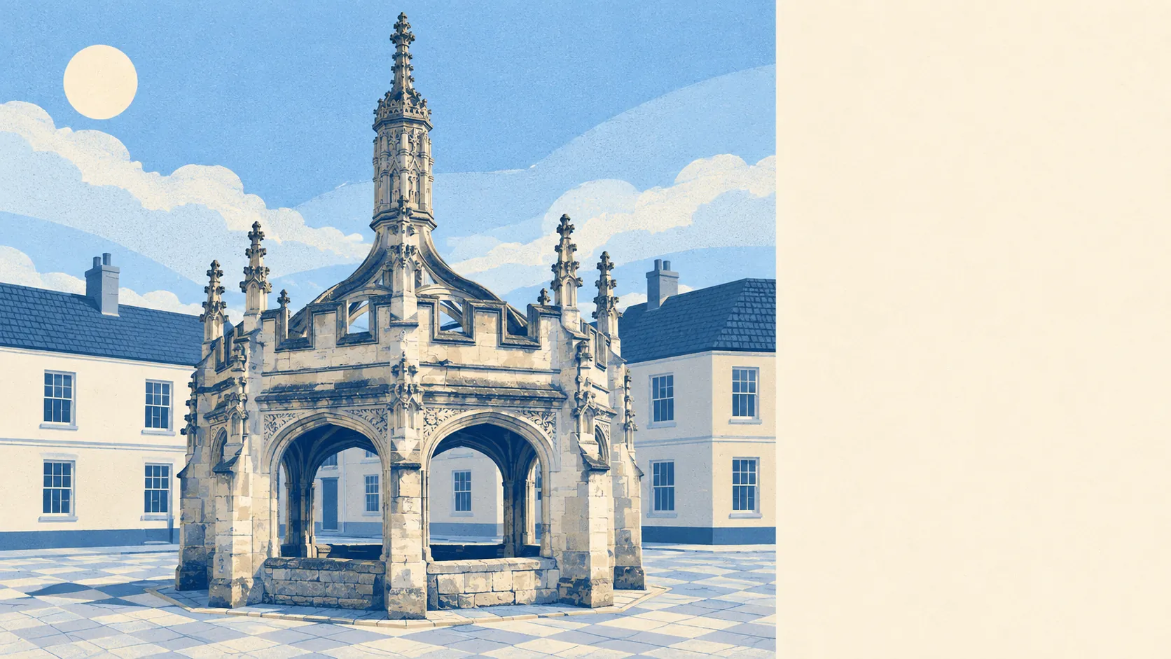
The high street is mostly shops and pubs. Across the rated premises there are 80 shops, 18 pubs and 3 restaurants, along with 33 holiday lets, so the evening revolves around the pub and the weekend visitors around a self-catering key box. The weekly farmers' market and the independent shops on the High Street carry the daytime trade, and the old market cross, the Birdcage, still shelters anyone caught in the rain, as it has for about five centuries.
Air is clean. Fine-particle pollution averaged about 6 micrograms per cubic metre across the Wiltshire council area in 2024. That's a figure for the whole county, not a reading from outside anyone's front door.
The Cotswolds area of outstanding natural beauty overlaps about 3% of the area, a sliver at the edge and not a blanket over the town, which is useful for walks and largely irrelevant to planning in the town itself.
The feel comes from the stone and the birds. The abbey and the town around it sit on top of the hill, with the villages spread out below, and Malmesbury people are sometimes called Jackdaws after the colony nesting in the abbey walls and roof. They were here first, and they sound like it.
Private gardens are generous. Homes here have about 236,000 square metres of private garden for every 1,000 residents, the measure of how much outdoor space people actually have to themselves. On the newer streets north of the old town that usually means a lawn. In the stone centre it can mean a courtyard. The average hides the difference.
The valuation list gives the working side of town. It records 264 rateable premises in the area, with offices, at 79, and shops, at 72, the two largest groups, and smaller numbers of workshops and other commercial units behind them. These are premises on the list, not a register of businesses trading this week, and they come from a different source from the shop and pub counts above, so the two don't line up exactly.
Eating out is mostly clean. Of 40 food premises with a hygiene rating, about 68% hold the top score of five and about 3% sit at the bottom of the scale. Check the sticker on the door before judging the menu.
Beyond that sliver of the Cotswolds, no site of special scientific interest and no ancient woodland overlaps the area. The landscape here is working farmland and river valley, not a protected reserve, and it gives you everyday countryside without the restrictions a designated landscape brings.
The surroundings are the best thing about living in Malmesbury: green space, water and open country all within a few minutes' walk, and an old stone town in the middle of it.