Yes, if you can afford to arrive already comfortable. Seven in ten own their homes outright or on a mortgage. The typical resident is closer to sixty than forty. A third of people work from home, and the nearest hospital is the better part of an hour away by car. This is a town that sorted its own life out before you got here, and the price of joining is set accordingly.
The housing stock is unusually spread out for a small coastal town. Detached houses take the biggest single share of dwellings on the council-tax list at around 27%, with flats and bungalows level-pegging at about 20% each, semis at 16% and terraces at 15%. A third of everything was built before 1930, which in a place that has been trading since the Domesday Book counts as recent. Around 77% of homes run on mains gas and about 7% are on electricity alone, which matters more than it sounds: an electric-only Victorian cottage with soft stone walls and a conservation officer's opinion attached is a heating bill with a house wrapped round it. The energy certificates back that up. About a third of certificated stock sits at band D, another 17% at band E or worse, and just under half reach band C or better. Half the town is warm and half of it is character.
The Land Registry's last twelve months put the median sale at around £427,500 across 48 sales, and the spread underneath that median is where the honesty lives. Detached houses came in at a median of about £650,000. Terraces landed around £380,000, semis around £375,000, flats around £320,000. So the headline figure is not a Lyme Regis price at all, it is an average of two very different transactions: the sea-view detached that somebody retired into, and the flat somebody else is renting out by the week. Council tax runs the same way, with band E the most common band and only about 27% of dwellings in bands A or B combined. There is not much cheap housing here, and what there is has competition.
For rent, the only figure that exists at any reliable grain is the typical private rent across the Dorset area, at about £1,040 a month as of April 2026. That is a county-wide mean covering everything from a Weymouth flat to a farmhouse, so treat it as the shape of the market rather than the price of a specific street in this town.
On safety, recorded crime runs at about 41 offences per thousand people over the twelve months to May 2026, which sits roughly 25% below the Dorset average. That is a published rate on its own population base, not a sum anyone should be doing at home. It is the strongest single number on this page, and it comes with the usual seaside caveat that a town of four thousand people generates small enough totals that a bad fortnight moves the percentages about.
Schools are genuinely good and genuinely limited, which is the trade every small town makes. Two state primaries serve the area, St Michael's Church of England Primary School in the town and Mrs Ethelston's Church of England Primary Academy, with a Key Stage 2 maths average of about 103. At secondary there is The Woodroffe School, with an Attainment 8 score of about 51. Across Dorset as a whole, Ofsted has graded 68 of 86 inspected settings good or better, two of them outstanding. One secondary school means one conversation with the admissions office rather than a strategy, which parents either find restful or terrifying.
Connectivity is where the postcard stops being useful. The railway went in 1965 and never came back. The nearest station is Axminster, and about 1% of working residents commute by train, which tells you how many people have tried. Around 44% drive to work and 34% work from home. There are 44 bus stops in the area, with roughly 108 scheduled weekday departures across the stops carrying service data, and weekend service at all of them. Broadband is the quiet surprise: superfast reaches 100% of premises, though gigabit only reaches about 27%, and nothing at all falls below the universal service minimum. Journey times are short for daily life and long for everything else. The town centre is six minutes by car, a doctor's surgery six minutes on foot, and the nearest hospital 46 minutes in the car or 77 by public transport.
The Environment Agency's mapping puts about 4% of the town in the river-and-sea flood zone 3 and under 2% in zone 2, rising to around 9% once climate allowance is included. On the broader postcode indicators, which fold in surface water, about 15% of postcodes carry a high rating on at least one measure and 10% a medium one. Seven flood events have been recorded here, the most recent in February 2014. Against that, the whole town sits inside the Dorset and East Devon Area of Outstanding Natural Beauty, with green space averaging around 256 metres from the doorstep and water around 279 metres. Ten green spaces within a kilometre of the average address. Landslide susceptibility is classified at the highest local class across the entire area, and shrink-swell ground covers about 88% of it, which is what happens when a town builds itself on the sort of geology that made the fossils famous in the first place.
Heritage is the constraint that catches people. There are 217 listed buildings here, five of them grade one and five more grade two star, plus a conservation area covering the town. Replacing windows, altering a frontage or extending in the old streets becomes a correspondence rather than a job. Buyers who want a period house and modern glazing are asking for two things the planning system has already decided are incompatible.
The character underneath all this is settled rather than sleepy. Around 71% own their homes, the median age is 59, and typical gross household income runs at about £51,200 a year. The page also covers Charmouth to the east, Uplyme just inland across the county line, and Rousdon further west along the coast, all of which share the same broad picture with more field and less footfall.
It suits people buying with capital rather than earning their way in: downsizers, remote workers with a good connection and no commuting habit, anyone who wants the Jurassic Coast on the doorstep and does not need a motorway or a hospital within twenty minutes. It suits families who want two good primaries and are content with one secondary.
It does not suit anyone who needs a train, anyone whose budget assumed the median price meant a detached house, or anyone buying a listed cottage with plans to modernise it quickly. The regular commuter should look at the Axminster line and cost the drive to it honestly before falling for a harbour view.
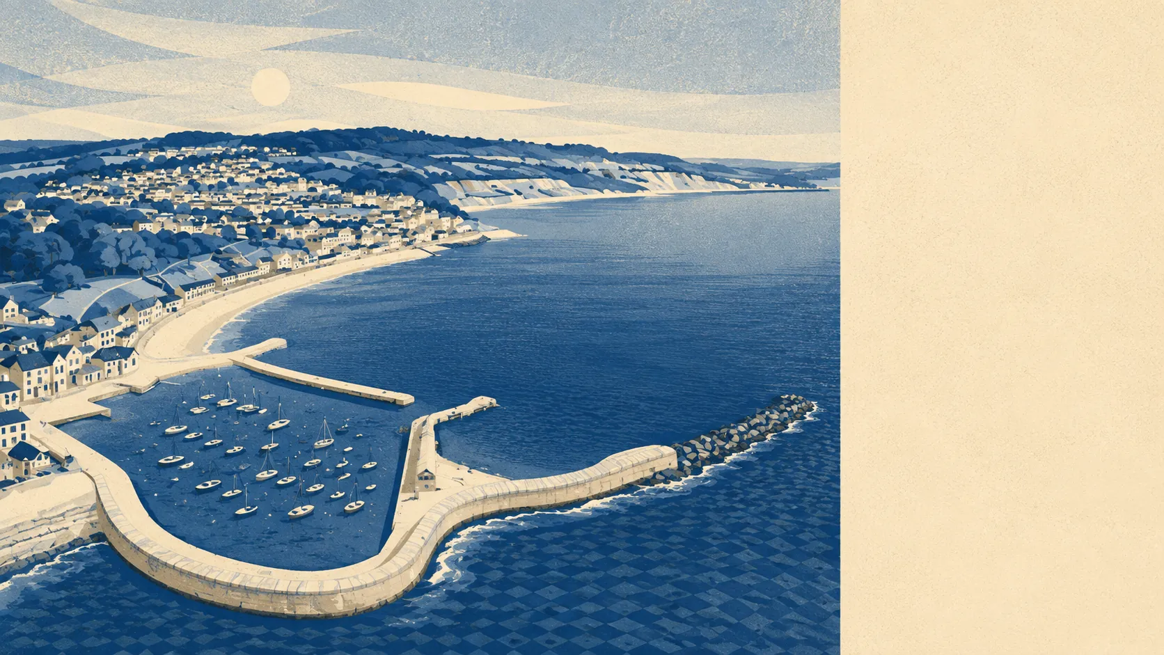
The town has always attracted people who came for the geology and stayed for the light. Mary Anning found the marine reptiles in the cliffs east of town between 1811 and her death in 1847, and Elizabeth Philpot collected fossils here for most of her adult life. Jane Austen set part of Persuasion here and called it her happiest spot for watching the flow of the tide, which is roughly what today's arrivals say, at considerably greater expense. Thomas Coram, who founded the Foundling Hospital in London, was born here. The Cobb has been knocked down and rebuilt by storms since at least 1377. Continuity here means the sea takes something back every few generations and the town puts it up again.
Its real strength is the setting: protected landscape in every direction, water and green space within a few minutes' walk of nearly every address, and a crime rate comfortably below the county's. The weak spot is value. You pay a coastal premium for a house that will be older, harder to heat and harder to alter than an equivalent inland, on a transport network that assumes you are not going anywhere in a hurry. Buy here because you want to be here for twenty years. The arithmetic does not reward anyone in a rush.