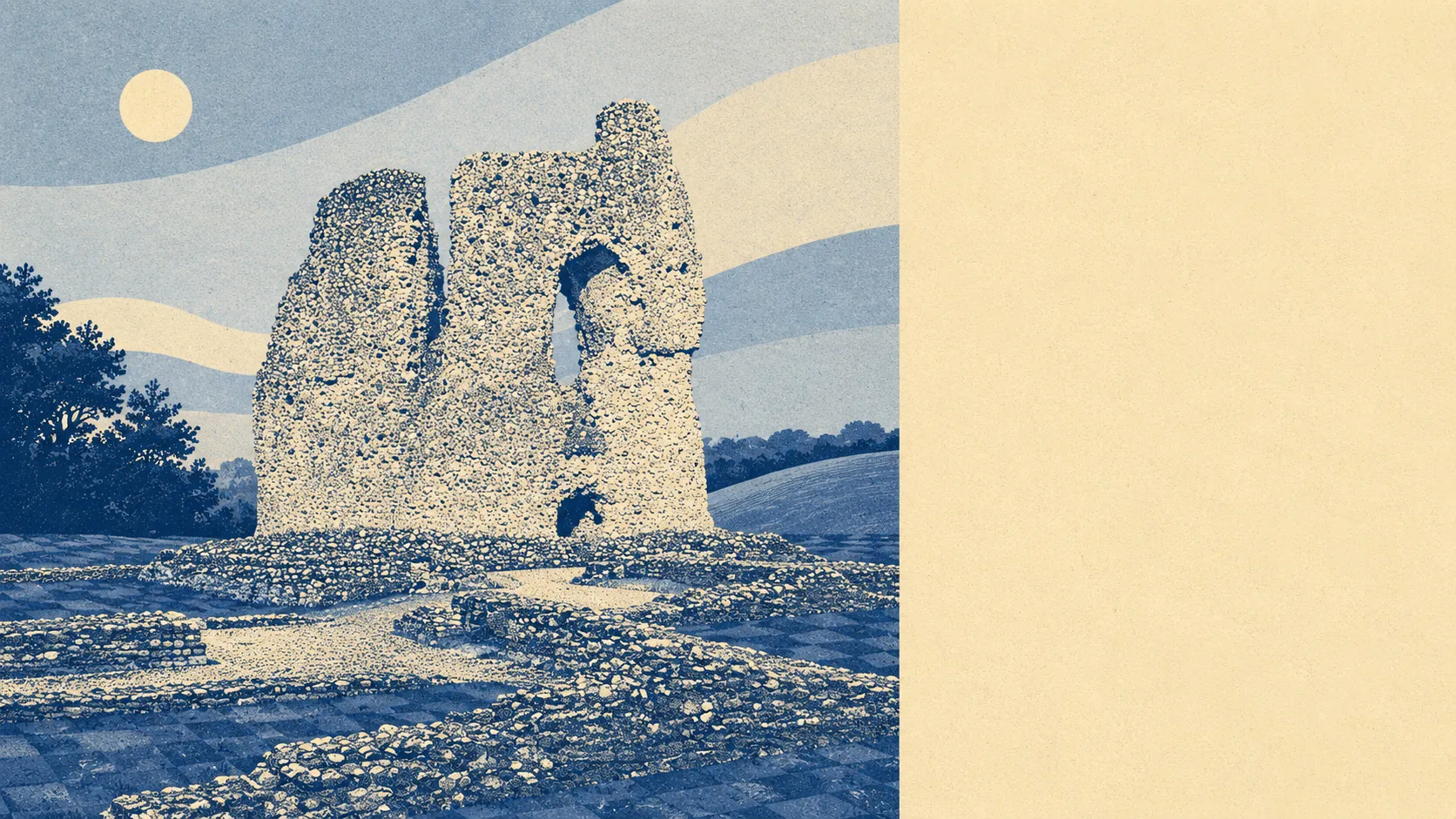
Open country starts where the houses stop. Green space sits about a hundred metres from the average front door. Prehistoric barrows and earthworks are scattered across the hills in every direction. There is almost no water and not one protected-landscape designation. This is countryside that works for a living rather than countryside with a car park and an interpretation board.
The green space access here is the sort of number that usually belongs to villages rather than towns. The average postcode sits roughly 110 metres from its nearest patch of public green space, with about 18 separate patches within a kilometre. Nobody in Ludgershall has to plan a walk. They open the door.
Water is the gap. The nearest open water averages about 2.5 kilometres from the average postcode, which puts it beyond the range of an ordinary evening stroll and into the category of a deliberate outing. If a riverbank is part of your mental picture of Wiltshire, that picture belongs to a different part of the county.
Cycling is the same story with a different vehicle. The National Cycle Network averages about 6.6 kilometres away, and no postcodes in the area count as close to it, so the riding is done on lanes, bridleways and byways rather than on a signed route. No ancient woodland is recorded here at all.
Ownership and valuation records for the area count 49 shop premises, 35 pubs, 101 offices and nine restaurants. That is a spread built for daily use rather than for a day out, and the pub count relative to the restaurant count tells you exactly which way the local evening leans.
For air, the fine-particle average across the Wiltshire council area was about 6 micrograms per cubic metre in 2024. That is a council-wide figure rather than a reading taken at the end of your road.
The geography around the town is split between two very different neighbours. Westwards is the Salisbury Plain Training Area, which has taken in Windmill Hill since the end of the nineteenth century and much of the land west of the parish since 1939, so the horizon in that direction belongs to the Army and always will. Eastwards is a run of small settlements: Faberstown running straight on from the town, Biddesden out towards the Hampshire boundary, and beyond them Appleshaw, Kimpton, Redenham and the Chutes. Between the two sit the monuments, including a group of sixteen round barrows on Cow Down, a boundary earthwork on Windmill Hill and a Celtic field system on Chute Down. The prehistory here is not in a museum, it is in the fields.
Private outdoor space is the part these pages usually skip. Across the six neighbourhoods measured, gardens account for roughly 135,000 square metres per thousand residents, which is a lot of private grass for a town centre to be sitting in. Houses here come with their own outside, and the public green space is on top of that rather than instead of it.
On the commercial side, the business rating list carries 143 rateable premises across the area. These are premises on a valuation list rather than shops with the lights on, and the two are not the same thing, so treat the count as building stock rather than as a directory of what is currently trading.
Of the 20 food premises with a published hygiene rating, 95% hold the top score and 5% sit at the bottom of the scale. For a town this size, one weak rating in the set is about as clean a sheet as the inspection regime produces.
One honest absence is worth stating: no area of outstanding natural beauty, no site of special scientific interest and no ancient woodland overlaps this area. That is not a criticism of the landscape, it is a description of what kind of landscape it is. Unprotected working countryside brings fewer visitors, fewer restrictions and fewer people photographing your front garden on a Sunday.
The surroundings are the best thing about living here, and it is not a close contest. Very few towns put this much open ground within a hundred metres of the average doorstep, and fewer still manage it without a single coach party turning up to admire it.