Ludgershall is a garrison town with a mortgage. About half the households own. Most of the stock is post-war semis and terraces. Green space starts at the end of the road. It is not a barracks with houses bolted onto it, whatever the proximity of Salisbury Plain suggests.
The council tax valuation list, which covers every dwelling rather than only the ones with a recent energy certificate, puts semis at 30% of the stock and terraces at 28%. Detached houses take 18%, bungalows 13%, flats 10%. Only 15% of homes went up before 1930, so the old-Wiltshire-cottage version of the town is a short row on Castle Street rather than the general condition. Energy certificates put about half of the certificated stock in bands A to C, 30% at band D and 19% at band E or worse. The heating is the part worth knowing before the viewing rather than after: 35% of homes run on mains gas, and 30% are heated by electricity alone. In a post-war semi with its original insulation, that is a January problem, not a footnote.
The Land Registry recorded 60 sales in the twelve months to May 2026, at a median of about £290,000. The spread by type does the explaining. Flats came in around £152,500, terraces around £265,000, semis around £302,000, and detached houses around £427,000. Most dwellings sit in council tax band C, with about 27% in bands A or B, and a band A bill runs about £1,715 a year against roughly £2,570 at band D.
Renting is measured across the whole Wiltshire area rather than street by street. The typical private rent there is about £1,060 a month as of April 2026, up around 7% over the year. That is a county-wide average, not Ludgershall's own asking prices, and it should be read as the regional weather rather than the local forecast.
Recorded crime runs at about 67 offences per thousand people over the twelve months to May 2026, roughly 7% above the Wiltshire average. That is a published rate from police.uk, not the incident count divided by the people who live here. Seven percent above average is the statistical equivalent of a shrug. It is not a village number, and it is not a town with a problem.
Connectivity is where Ludgershall gives something up. Under one percent of working residents commute by train. Just over half drive to work and 30% work from home, which is a large number of people whose commute is a spare bedroom. There are 19 bus stops in the town, 18 of them carrying scheduled service data, averaging 89 departures on a weekday and about four buses in the peak hour, with 94% of stops keeping some weekend service. The nearest town centre is about 18 minutes by car and about 36 by public transport, which tells you which of the two the town was built around. Broadband is the compensation: gigabit reaches 89% of premises, superfast reaches 98%, and nothing sits below the universal service obligation floor. Every mobile operator covers 98% of the area, and at least one covers all of it.
Six percent of postcodes carry a high flag on at least one flood indicator, surface water included, with another 7% at medium and 22% at low. None of the town falls inside the Environment Agency's river-and-sea flood zones, and no historic flooding is recorded here. The risk that exists arrives across a road after heavy rain rather than up a watercourse. Green space is the quiet advantage: the average postcode sits about 110 metres from the nearest patch, with roughly 18 within a kilometre. Open water is further out, about 2.5 kilometres away, so the walking is fields rather than riverbank.
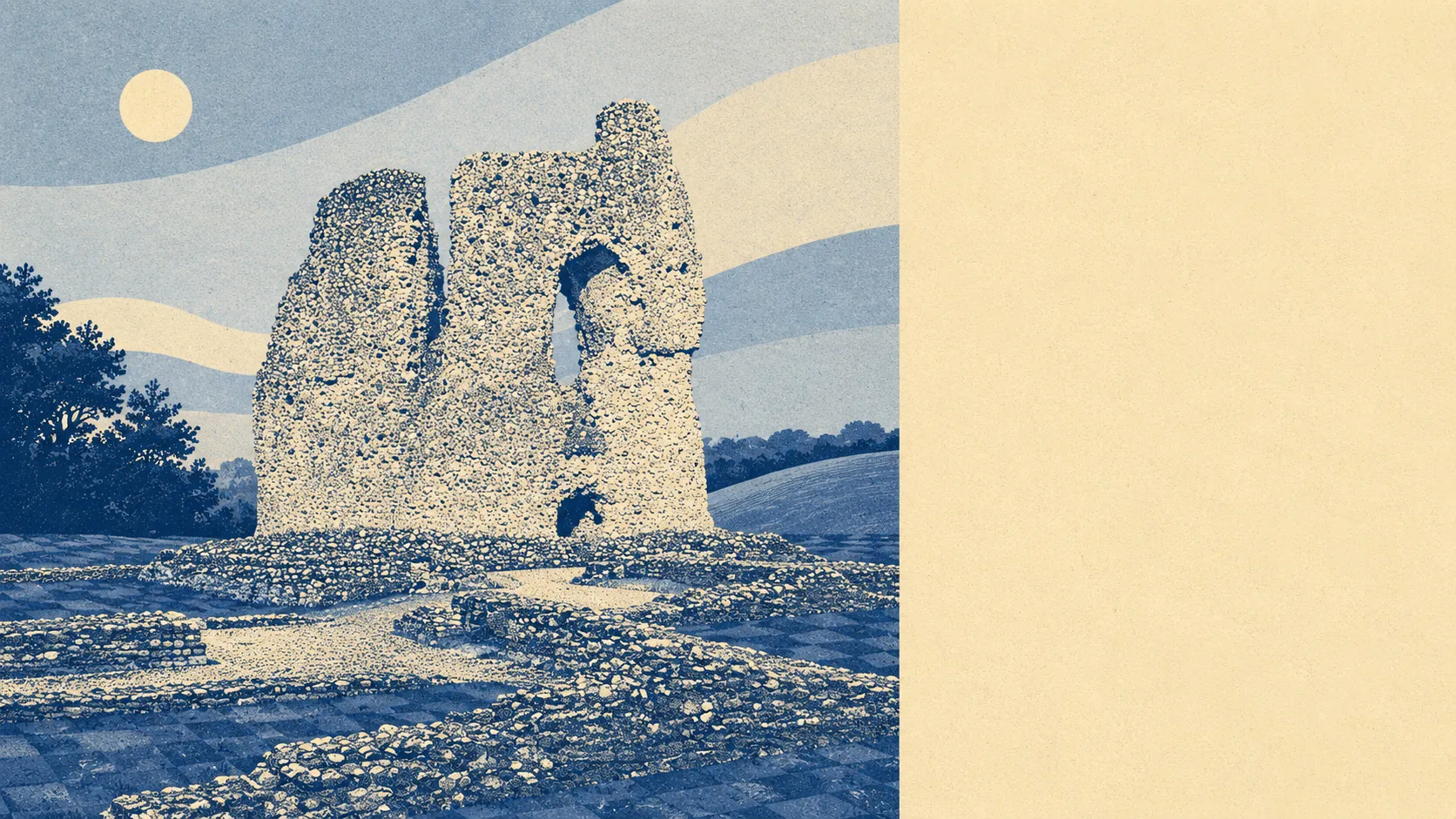
Sixteen listed buildings stand in the area, one at grade one and 15 at grade two, alongside a single conservation area covering the old core of Ludgershall. Inside it, changing windows, fitting solar panels or extending upward becomes a negotiation with the planning department rather than a decision. Outside it, which is most of the town, the post-war stock can be altered with the freedom post-war stock usually gets. The historic quarter is protected. The rest of Ludgershall was never asked.
About 51% of households own, 24% rent privately and 23% rent from a social landlord, a near-even split between the two kinds of renting that is unusual enough to shape who lives next door. The median age is 36, and with one household in ten a pensioner living alone, this is a working-age town rather than a retirement one. Median gross household income sits around £69,700 for the financial year to March 2023, modelled by the Office for National Statistics rather than counted door to door.
It suits a household with a car and work that either travels or stays put. Service families and the people employed alongside them. Buyers who want a three-bedroom semi with a garden and are not willing to pay flat prices for the privilege of being nearer a station. Anyone whose weekend involves a footpath.
It does not suit anyone who needs a train, anyone whose job depends on public transport rather than merely tolerating it, or anyone buying an older place on electric-only heating without pricing a winter first. Nor does it suit the buyer who wants a period town and will feel cheated when they find one street of it.
Ludgershall comes out above average, and the two ends of it are easy to name. Its real strength is the surroundings: green space effectively at the doorstep, no river-and-sea flood zone to insure against, and enough ordinary family housing to keep the median under £300,000. The weak spot is transport and connectivity, which is the polite way of saying the car is not optional and never was. Buy here if the map matters more to you than the timetable. The people who leave are usually the ones who assumed the timetable would catch up.