Lee does well on almost everything that involves getting somewhere else, and less well on the neighbourhood you come home to. The average bus stop sees around 270 departures on a weekday. Nearly nine in ten homes can get gigabit broadband. A third of households get by without a car. The deprivation tables, though, put the place slightly on the wrong side of the national middle, and only about half the homes are owned by the people living in them.
Modern Lee is centred on its station and Burnt Ash Hill. Lee station runs trains into Charing Cross, and to Cannon Street via Lewisham, while Hither Green and Grove Park stations cover the streets at either end. There are 212 bus stops in the area, and across the 192 with timetable data the average stop sees 274 departures every weekday, about 15 of them in the peak hour, with 97% of stops served at weekends too. Gigabit broadband reaches 88% of premises and superfast broadband reaches all of them. At the 2021 census, 43% of working residents worked from home, 11% took the train and 21% drove. The Department for Transport's 2019 modelling put the nearest town centre about 15 minutes away by public transport, and those public transport times are the ones most likely to have changed since. With that many people working from home, a good part of the timetable runs past residents who have decided to stay in.
About 53% of households own their home. The rest are split almost evenly between private renters and social tenants, at 23% each. The median resident is 38. The Office for National Statistics models average gross household income here at about £74,000 for the financial year to March 2023, a figure estimated for small neighbourhood blocks and averaged across the area. The Index of Multiple Deprivation gives Lee an average decile just under five, where one is the most deprived tenth of England, and that barely moved between the 2019 and 2025 editions. Put the income figure and the deprivation ranking side by side and they read like two different postcodes. They are one postcode, SE12, averaging its owner-occupied semis and its social housing into a single number nobody lives at.
The Metropolitan Police recorded crime at about 90 per 1,000 residents in Lee over the year to May 2026, roughly 26% below the Lewisham average. The mix leans to the nuisance end. Anti-social behaviour makes up 22% of recorded crime here against 16% across England and Wales, and vehicle crime 9% against 5%, while violence and sexual offences come in under the national share at 29% against 35%. On the headline rate, the borough has more to answer for than Lee does.
The Land Registry's last twelve months, to mid-May 2026, put the typical sale at about £475,000 across 213 sales. That figure averages out very different purchases. The 73 flats sold had a median of about £308,000, the 87 terraced houses £530,000, the 43 semis £715,000 and the 10 detached houses about £853,000. Band C is the most common council tax band, and about 24% of homes are in bands A or B. Renters are pricing against Lewisham as a whole, where the Office for National Statistics puts the typical private rent at about £1,820 a month as of April 2026, a mean from its rent index.
On the council-tax list, flats make up about 44% of Lee's homes, terraces 34%, semis 15% and detached houses 5%, and about 31% were built before 1930. Energy certificates put about 48% of certificated homes in bands A to C, 40% in D and about one in eight in E or worse. About 80% of homes heat with mains gas, and about 7% on electricity alone.
Flood needs two numbers, because they measure different things. In the Environment Agency's river-and-sea flood zones, about 5% of the area is in zone 3 and 4% in zone 2. On the wider postcode measure, which counts any flood indicator including surface water, about 26% of postcodes carry a high rating on at least one, 31% a medium and 46% a low. The River Quaggy runs through Lee, almost completely hidden at Lee Bridge, and the last recorded flood from the main river was in September 1968, when the channel overflowed with no raised defences in place. The gap between those two measures is mostly surface water, and rain has never checked which zone a house was mapped into.
Historic England counts 73 listed buildings in the area, six of them Grade I and 16 Grade II*, with three on its Heritage at Risk register. It records no conservation areas, so for most ordinary houses the standard planning rules are the ones that apply to an extension or new windows. The listed names include Lee Public Library, the Church of St Margaret, and the Fludyer Tomb and Sir John Call's monument in Lee Old Churchyard, so the best-protected residents in Lee are the ones who will never apply for a loft conversion.
The nearest green space is about 120 metres from the average home, there are around 32 within a kilometre, and the nearest water is about 390 metres away. Manor House Gardens was once the grounds of the old manor. Horn Park, on the Greenwich side and covered by this page along with Grove Park and Chinbrook next to it, has its own public park, with the Quaggy flowing north through it.
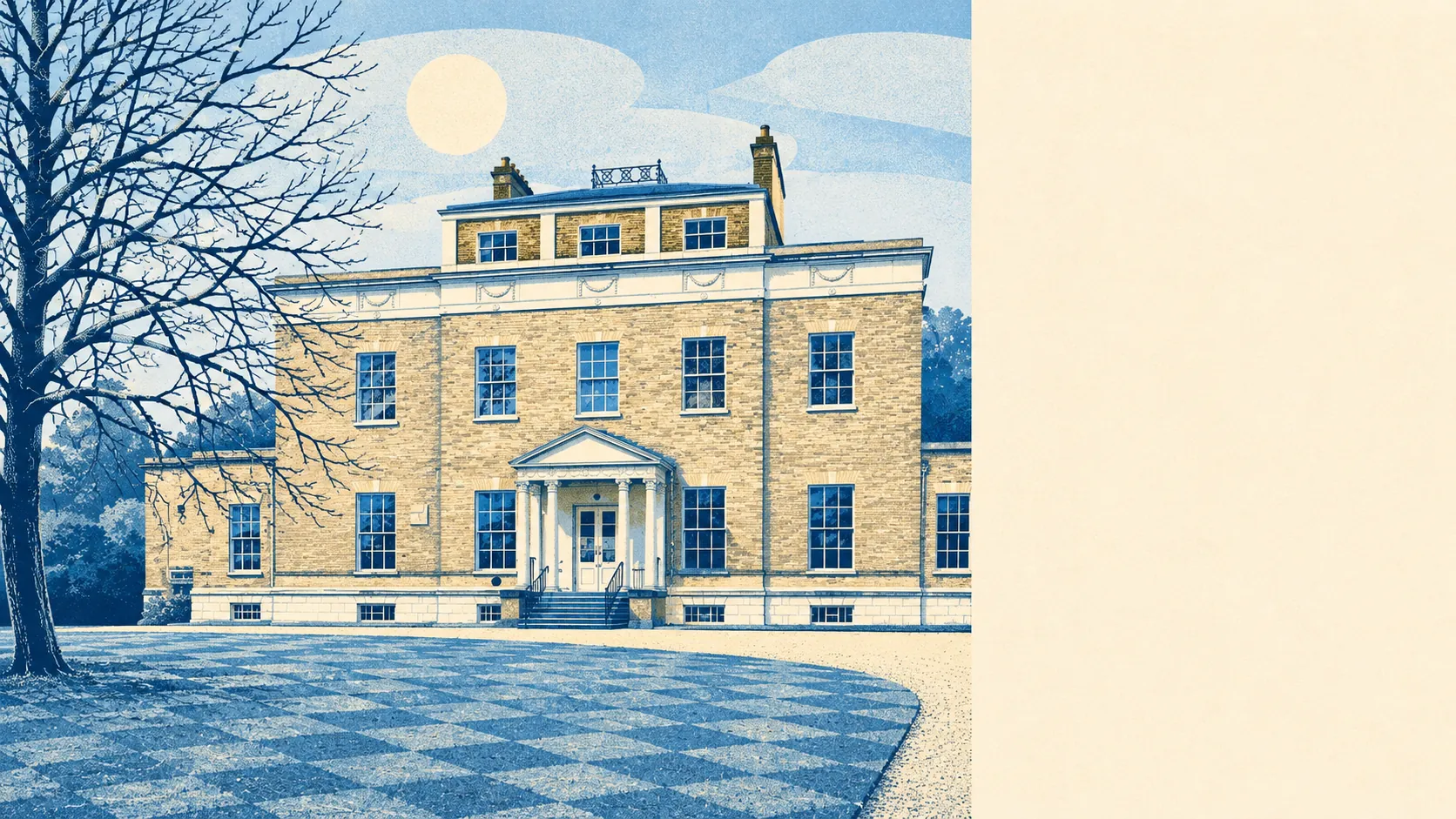
Sir Francis Baring, founder of Baring Brothers, bought the Manor House on Manor Lane in 1796. It is now the library. The house outlasted the bank. Lee was also the birthplace of the historian Henry Thomas Buckle, the poets Ernest Dowson and U. A. Fanthorpe, and the actor James Robertson Justice, born here in 1907.
Lee is right for people who need to get into London and back without owning a car, and for buyers who want a terrace or a semi a short walk from a park. Buyers who want a street where every household looks and earns much the same should look elsewhere, because Lee is roughly half owners, a quarter private renters and a quarter social tenants, and the averages show it.
Overall Lee is a sound choice for anyone who lives by the timetable. It is a harder sell to anyone who reads a neighbourhood's deprivation ranking before its bus routes.