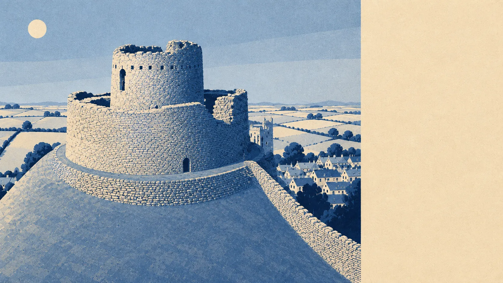
The area around Launceston is working countryside with a river through the bottom of it and villages named like a dare. Open ground starts where the last houses stop. Water is minutes away on foot rather than a drive. No protected-landscape label sits over any of it, which tells you what kind of countryside this is: farmed, used, and not curated for visitors.
Green space is the headline. The average postcode here sits about 140 metres from a green space, with roughly 18 of them inside a kilometre. That is not a park you plan a trip to. That is the sort of access where the dog decides the route and nobody gets in a car.
Water is close behind. Blue space averages about 400 metres away, with around 13 separate stretches within a kilometre. The town falls steeply toward the River Kensey, which joins the Tamar just east of here, and the practical effect is that most people live within a short walk of moving water without ever describing themselves as living by a river.
For getting properly out into it, the National Cycle Network averages about 600 metres away, and roughly 41% of postcodes sit close to it. The routes are there. The hills are also there, and the hills are undefeated.
The high street is a proper one rather than a heritage display. The valuation list records 164 shops as rateable premises, along with 17 pubs and 6 restaurants. Seventeen pubs against six restaurants is a town that has thought carefully about its priorities and reached a firm conclusion. Those are premises on the rating list rather than a guarantee of what is trading this morning, so treat the numbers as capacity, not as a directory.
Air quality is unremarkable in the best sense. Fine particle pollution across the Cornwall council area measured about 5 micrograms per cubic metre in 2024, which is the sort of figure that only becomes interesting when it is not.
The character of the surrounding parishes is scattered and small. Newport sits on the low ground at the bottom of the hill, St Stephens holds the older end of the settlement to the north, and beyond them the map fills with Tregadillett, Werrington, Yeolmbridge, South Petherwin, Langore and Stourscombe. Werrington Park is the grand one. Little Comfort and Peter's Finger are also real places and not, as it first appears, a warning.
Private outdoor space is the part most area guides skip entirely. Across the eight neighbourhoods here, gardens work out at roughly 157,000 square metres per 1,000 residents. Whatever else you are negotiating for in Launceston, you are not fighting over a strip of decking.
The wider premises mix runs to 622 rateable properties on the valuation list, including about 72 offices alongside the shops and pubs, and 108 holiday lets. That last number is the Cornwall tax showing up in the ledger, though on a scale that leaves the place functioning as a town rather than as a seasonal exhibit.
Eating out is safer than average. Of 69 rated food premises, about 90% hold the top food hygiene score and none sit at the bottom of the scale. Nobody is naming names here, because there are no names to name.
On designations, the honest answer is none. No area of outstanding natural beauty overlaps this area, no site of special scientific interest, no ancient woodland. That absence is not a criticism. It means the countryside here is farmland and river valley rather than protected landscape, and it also means nobody has drawn an extra layer of consultation over the fields behind your house.
The surroundings are what Launceston is genuinely best at. Green space on the doorstep, water close enough to hear it after rain, and gardens generous enough that people forget they were ever a selling point.