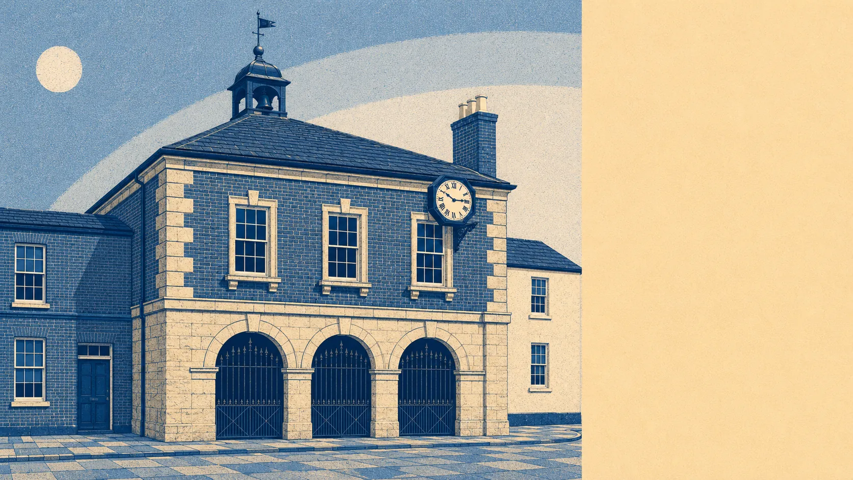
Green, flat and thoroughly waterlogged, in the way that produces good walking and honest boots. Green space starts barely a hundred metres from the average front door. Water is nearly as close, and there is an absurd amount of it. None of this landscape carries an official beauty designation, so nobody turns up with a guidebook and a thermos. Countryside in every direction and not a single brown tourist sign pointing at it is, on balance, the best deal in the county.
Green space access here is close to the top of what the mapping records anywhere. The average postcode sits about 113 metres from green space, with roughly 15 separate spaces inside a kilometre. That is not a park at the end of the walk, it is a field at the end of the road, and the difference is the whole character of the place.
Water is the other half. The average postcode sits about 181 metres from blue space, with roughly 96 separate stretches of water within a kilometre. Langport lies on the east bank of the River Parrett just below where the River Yeo joins it, with Wet Moor to the south and the moors and rhynes of the Somerset Levels beyond, so the count is less a leisure statistic than a description of the drainage. Wintering whooper swans use the moors. Nobody living here needs telling where the water is.
For getting out into it under your own power, the National Cycle Network averages about 1,039 metres from a postcode, with roughly 17% of postcodes sitting close to a route. Flat terrain and a network within walking distance of the bike shed is a decent combination, provided the wind is behaving.
The town that anchors all this is small and functional rather than picturesque-for-visitors. The valuation list records 48 shop premises, 10 pubs and 3 restaurants, plus 107 offices, which is a working town rather than a scenic one. There are also 35 holiday lets on the list, which says the area sells itself to visitors even while insisting it does not.
On air quality, fine particle levels across the Somerset council area averaged about 5.5 micrograms per cubic metre in 2024. That is a council-wide figure covering a very large rural authority rather than a reading taken in Langport, and it is offered as context rather than as a verdict on anyone's lungs.
The character comes from what surrounds the town rather than what sits in it. Huish Episcopi runs into Langport closely enough that the boundary is a paperwork detail, and Curry Rivel, Muchelney, Aller, Pitney, Drayton and Low Ham ring it at village scale. Muchelney Abbey and its barn, a Roman villa at Low Ham and a duck decoy out on Middle Moor are scheduled monuments in the surrounding area, and Stembridge Mill sits among the listed buildings. Conservation areas cover Langport and Huish Episcopi, Muchelney and Drayton. This is a landscape that has been continuously used, drained and argued over for a very long time, and it shows.
Private outdoor space is where the numbers turn genuinely lavish. Across the four neighbourhood areas measured, there are roughly 276,000 square metres of private garden per 1,000 residents. Gardens here are gardens, not the paved yard with a bin and an ambition that the same money buys in a city.
The valuation list carries 194 rateable premises in total across the area. Those are premises rather than trading businesses, so the list describes the fabric of the place rather than what is open on a Tuesday.
Eating out, the Food Standards Agency has rated 38 premises locally, of which about 79% hold the top score and roughly 3% sit at the bottom of the scale. Which is which is a matter of public record, and worth two minutes of anyone's time before booking.
On designations, the honest position is that there are none. No area of outstanding natural beauty overlaps this area, no site of special scientific interest falls inside it, and there is no ancient woodland. The protected moorland sits beyond the edge rather than within it. That is not a criticism of the landscape, it is the reason nobody has monetised it.
The surroundings are the strongest thing Langport has, comfortably. Water, fields and open moor start where the houses stop, the gardens are proper gardens, and the whole lot has escaped being labelled, gated or discovered.