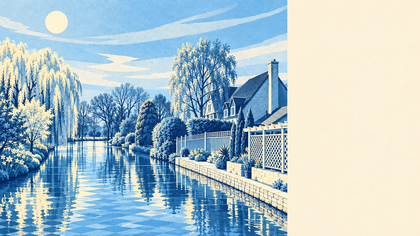
Langford is flat river country, close to the Ivel and the lakes left behind by old gravel workings. Green space is a few minutes' walk from most front doors. Water is closer than most people expect. The fields to the east grow crops and electricity. Pretty, it mostly isn't. Useful, it is.
The average home in Langford has about 10 green spaces within a kilometre, and the nearest is about 200 metres away. A local nature reserve lies beside the Ivel, and King George's Field, home to the cricket club since well before most of the houses were built, gives the village a proper sports ground in its middle.
Water is close by. The average home is about 260 metres from the nearest blue space, with about 39 bodies of water within a kilometre. Most are the lakes formed in old sand and gravel quarries south of the village, along with the river and the drains that keep the floodplain in order. Langford dug its gravel out and was left with a lake district, at no extra charge.
The National Cycle Network is about 2.3 kilometres from the average home, and no postcode has it on the doorstep. Closer in, a public bridleway runs from Common Road to Henlow, footpaths from Station Road and Cambridge Road lead to Astwick and Stotfold, and paths from East Road head to Biggleswade. There is no ancient woodland in the area.
The rated-premises records for the SG18 postcode district, which takes in Biggleswade as well as Langford, list 164 shops, 21 pubs and 8 restaurants. Most of that is in the town up the road, and Langford uses Biggleswade as its high street.
Central Bedfordshire as a whole recorded fine-particle pollution of about 7.1 micrograms per cubic metre in 2024.
The village is long and thin, stretched along the east side of the Ivel with the East Coast Main Line on its other edge. Beyond the railway, large open arable fields rise towards Topler's Hill. Wind turbines from Biggleswade Wind Farm stand in the parish, and a solar farm lies to the south-east. Nearby are Henlow, Clifton, Astwick, Stanford and Biggleswade, close enough that a walk can take in two parishes before lunch. The landscape is clay valley and farmland, with the lakes doing the decorative work.
Private gardens are generous. The area has about 142,000 square metres of private garden per 1,000 residents. That is a village of semis and detached houses with proper back gardens, where the lawn has room for a trampoline and a shed.
Langford itself has 40 rateable premises on the valuation list. Shop premises are the largest group, followed by offices, with the rest a mix of smaller workshops and community uses. Those are units on the rating list, so a listed shop premises may or may not be trading on any given day.
Nine food premises in Langford have a hygiene rating, and about 67% hold the top score of five. None are rated low. Nine kitchens is a small sample, but none of them is a worry.
No protected landscape designation covers Langford: no area of outstanding natural beauty, no site of special scientific interest and no ancient woodland. It is working countryside, with gravel pits, turbines and arable fields, and it gets on with being pleasant without needing anyone's permission.
The surroundings are one of Langford's real strengths: water and green space within a short walk for nearly everyone, generous gardens, and a nature reserve on the riverbank.