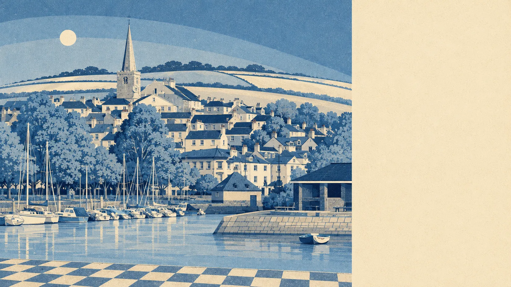
Yes, as long as nobody has sold you a lively town. About six in ten own their homes. The typical resident is past fifty. Nobody commutes by train. Kingsbridge is comfortable rather than exciting, and comfortable is the entire product.
The housing is more mixed than a town this size usually manages. On the council tax valuation list, terraces make up about 24% of dwellings, flats about 22%, detached homes about 20%, semis about 16% and bungalows about 16%, with roughly 27% built before 1930. That bungalow share is the tell: this is where people move once stairs have started to feature in the conversation. Energy certificates put about 47% of certificated homes in band C or better, about 37% in band D and about 16% in band E or worse. Around 64% run on mains gas and about 16% on electricity alone, which is the sort of detail that stops being abstract in February.
The Land Registry recorded 68 sales in the year to May 2026 at a median of £305,000. The split underneath that median matters more than the median does: 15 detached sales at £500,000, 7 semis at £295,000, 24 terraces at about £250,000 and 22 flats at about £222,500. The wider house price index puts the average property at about £364,000 in May 2026, down about 7% over the year and up about 8% across five years. Council tax leans low, band B being the most common and about 36% of dwellings sitting in bands A or B, so the standing costs are gentler than the detached figures suggest.
Renting is measured across the district rather than street by street. Typical private rent across the South Hams area is about £1,000 a month as of April 2026, up about 3% over the year, with two beds at about £910 and three beds at about £1,120 on that same area basis. The ownership records also count 638 holiday lets in the area, which is what a long-term renter is bidding against.
Recorded crime is the least comfortable line on the page. Police figures put the rate at about 72 crimes per 1,000 residents over the twelve months to May 2026, roughly 47% above the South Hams average of about 49. Violence and sexual offences account for about 41% of recorded crime against about 35% nationally, criminal damage and arson about 11% against about 7%, and anti-social behaviour about 17%. Part of that is arithmetic of geography: one town holding 28 pubs for a wide rural area records what happens in it, under its own postcodes, not the villages that drove in for the evening. Worth knowing too that Devon and Cornwall Police charged about 8% of cases over that period against about 12% nationally, ranking the force last of the 42 in England and Wales. That is a force statistic, not a Kingsbridge one.
Kingsbridge Academy is the secondary school, and it is the only one, so the catchment warfare that consumes parents in bigger towns never gets going here. Its Attainment 8 score is about 50. Across the eight primaries in the postal district, including Kingsbridge Primary School and West Alvington Church of England Academy, the Key Stage 2 maths average score is 105. Ofsted has graded 138 of 172 settings across Devon as good or better, with 3 outstanding and 31 requiring improvement. Modelled walking times put a primary about 16 minutes away and the secondary about 29.
Not one person in the travel-to-work count commutes by train. About 46% drive, about 26% work from home, about 20% walk and about 1% take the bus, which is what a timetable like this earns. There are 34 bus stops, and across the 29 with service data the average is 22 departures a day, thinning to roughly one an hour at peak, with weekend service at only 13 of them. Journey times modelled in 2019 put the town centre about 10 minutes away by car and an employment centre about 17, while the nearest hospital is about 51 minutes, a number worth sitting with before anyone moves a frail relative down here. Broadband is in better shape than the roads: about 99% of premises can get superfast, about 79% can get gigabit speeds, and none fall below the universal service obligation.
About 23% of postcodes carry a high rating on at least one flood indicator, surface water included, and about 10% a medium one. In the Environment Agency's river and sea flood zones specifically, about 16% of the area sits in zone 3 and about 1% in zone 2, with about 4% flagged once climate allowances are applied. No historic flood records appear. Against that, green space averages about 135 metres from the front door with about 18 patches within a kilometre, water about 170 metres with 42 within a kilometre, and roughly 28% of the area lies inside the South Devon Area of Outstanding Natural Beauty. About 69% of postcodes sit within 500 metres of the coast, where the shoreline policy is to hold the line, which is a decision somebody reviews rather than a promise anyone made you. Radon reaches band 5, the highest, with every postcode in band 3 or above, so a test kit belongs on the moving-in list rather than the maybe list.
Historic England lists 127 buildings here, 2 at grade one, 3 at grade two star and 122 at grade two, with one entry on the Heritage at Risk register. No conservation area is recorded across the area, which makes Kingsbridge unusually relaxed for a town with this much old fabric, because the constraint attaches to specific buildings rather than whole streets. The Shambles, rebuilt in 1796 on sixteenth-century granite piers, and the 1670 grammar school that is now the Cookworthy Museum are the obvious ones. Buy one of those 122 and the windows, insulation and heating you had planned become a consent application rather than a weekend.
About 62% own their homes, the median age is 52, and median household income was about £49,500 in the financial year to March 2023, gross and before tax. About 36% of households are one person living alone and about 21% a pensioner living alone, which says more about what this town needs from its single doctors' surgery than any amount of brochure language about community ever will.
The page also covers Loddiswell up the valley, and Chillington and Malborough out towards the coast. Loddiswell and Malborough keep their own primary schools, and all of them send their teenagers to the same secondary and their weekly shop to the same place.
It suits people who want the South Hams without buying into somewhere that empties in October: a couple downsizing into one of those bungalows, somebody working from home on a connection better than the roads deserve, a family happy to trade a choice of catchments for a short walk to green space.
Anyone whose life still needs a station, a hospital within ten minutes or a bus on a Saturday will get more out of Plymouth or Torquay, and that is a genuine trade rather than a insult to either. The same applies to anyone buying a listed terrace on a band E certificate and filing the heating under later.
The town has form for producing people who went off and did something specific. William Cookworthy identified English china clay and made the first English porcelain. John Wolcot wrote satire as Peter Pindar. George Montagu, the naturalist, lived and died locally and has a harrier named after him. John Scoble campaigned against slavery in Britain and Canada. Anthony Trollope set Rachel Ray here in 1863, and Rachel Joyce set The Unlikely Pilgrimage of Harold Fry here in 2012, with the film following in 2023. The nineteenth-century exports were cider, corn, malt and slate. The modern export is a location.
Kingsbridge is a good place to live for people who want the South Hams as a working town rather than a view. Its real strength is what surrounds it, with green space and water closer to most front doors than a parking space and a protected national countryside designation covering a chunk of the area. The weak spot is safety, where a recorded rate well above the district average lands on the one town hosting everybody else's evenings. Take the water, the school with no rival and the price of a terrace. Accept the drive to the hospital and the February bills in a stone house. That trade is honest in both directions.