Hythe has the Downs behind it, the Marsh to one side and the sea in front, and very little of it is far from home. Green space sits at the end of most roads. Water is barely any further. The high street has kept its shops and its pubs. This is a town that goes outside without needing a car to get there.
The nearest green space is about 150 metres from the average Hythe postcode, and there are about 18 green spaces within a kilometre. That's a park, a playing field or a patch of open ground closer than most people's nearest parcel locker.
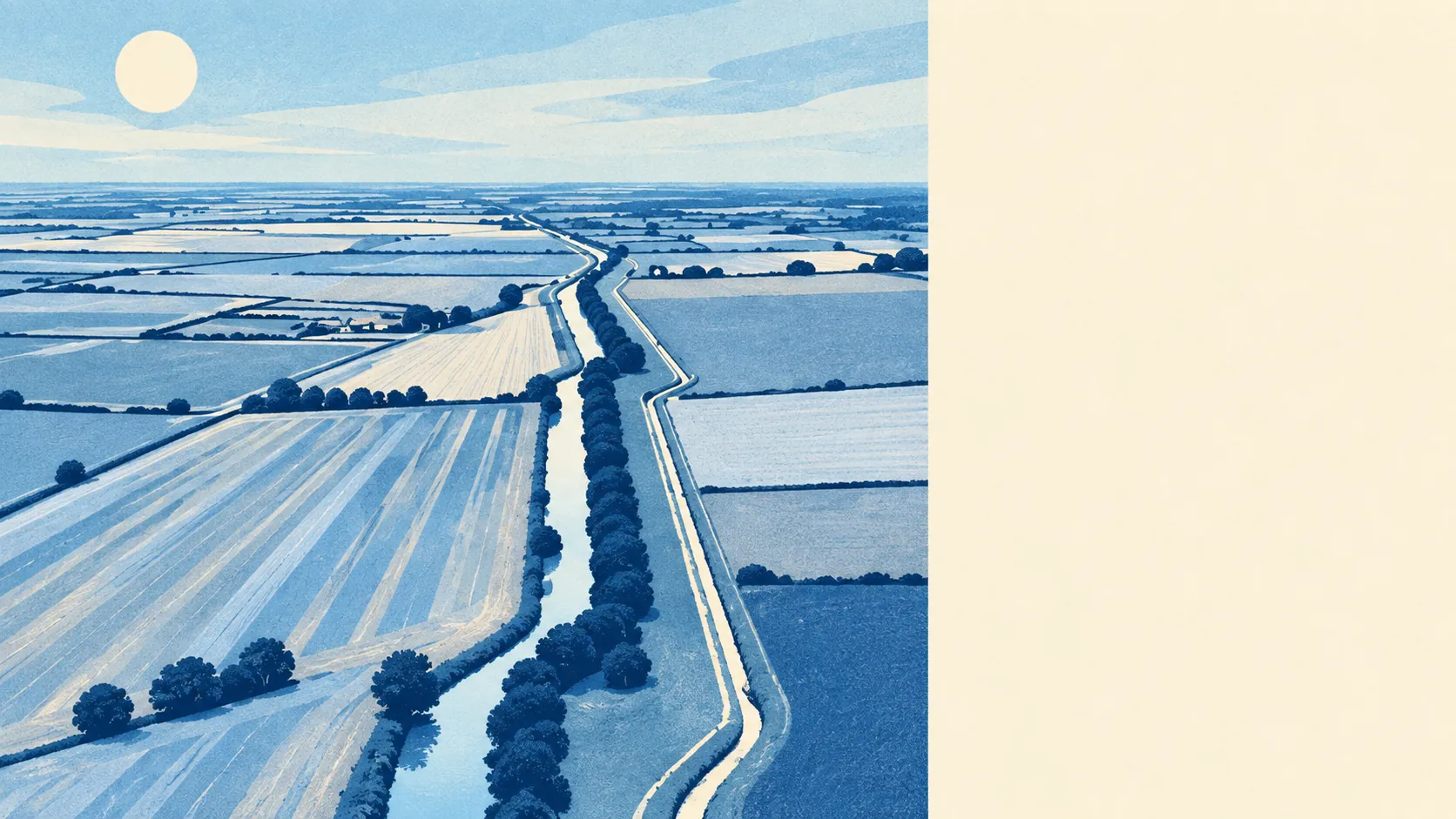
Water comes close behind, with the nearest blue space about 180 metres away on average and 55 bodies of water within a kilometre. That count includes the sea, the stretches of the Royal Military Canal running through the town, and the drains and dykes along the edge of the Marsh. Very few people in Hythe live far from water, which is lovely on a summer evening and is also the reason the flood map exists.
The National Cycle Network is about 360 metres away on average, and about 75% of postcodes sit close to a route. There's no ancient woodland recorded in the area, so the landscape here is canal bank, seafront and open ground rather than old forest.
As for what the town is made of, the business rates list has 513 premises, including 179 shops, 106 offices, 24 restaurants, 17 pubs and 47 holiday lets. Those are premises on the valuation list, not a count of businesses open today, but they describe a high street that still has plenty to sell. Seventeen pubs for a town this size is quite a lot of thirsty people.
Of 106 food premises with a hygiene rating, about 76% hold the top score and about 2% sit at the bottom end. Eating out here is a low-risk hobby.
Fine-particle air pollution across the Folkestone and Hythe council area averaged about 6.5 micrograms per cubic metre in 2024. That's a figure for the whole council area, not for any particular street.
On protected landscapes, about 2% of the area falls inside the Kent Downs Area of Outstanding Natural Beauty, a sliver on the northern edge rather than something the town sits within. There are no sites of special scientific interest and no ancient woodland. Hythe's appeal is the working landscape of the coast, the canal and the Marsh, not a map full of designations.
The character comes from what's close by. Saltwood and its castle sit on the slope above the town, with Sandling Park further up. Lympne lies along the old cliff line, looking over Romney Marsh, with Port Lympne beyond it. A Victorian promenade runs along the seafront, and a farmers' market still fills Red Lion Square on the second and fourth Saturday of every month, on the spot where the old market used to be. Hythe Ranges takes up a stretch of shoreline, and when the red flags are up, that part of the beach is off limits.
Homes have plenty of private outdoor space too: about 137,000 square metres of garden for every 1,000 residents. With that much garden, a public park is a nice extra rather than the only place to sit outside.
The surroundings are Hythe's best feature: sea, canal, Downs and Marsh all within walking distance, and a town that hasn't fallen into the tourist-trap habit of charging you for any of it.