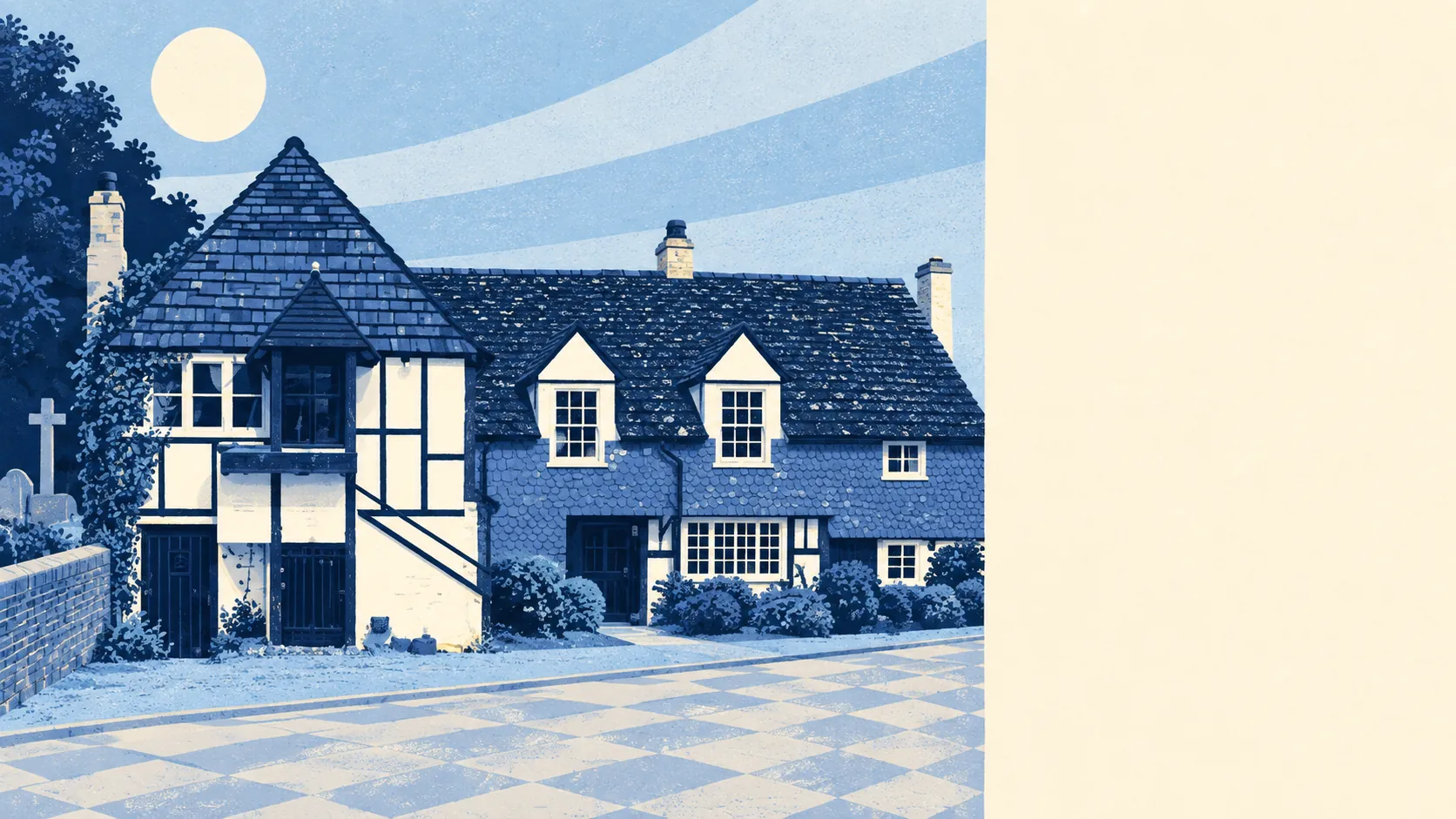
Horley is greener than an airport town has any right to be. There is a patch of green at the end of most streets. Ponds and streams are closer than anyone expects. The high street runs on shops, not restaurants. The runway gets the reputation, and the fields get ignored.
The average home in Horley sits about 186 metres from a public green space, with around 20 green spaces within a kilometre. That is short enough that a dog walk does not need a car, and dense enough that nobody has to fight over one park. For a town most people know as the last place before the airport, the grass count is the genuine surprise.
Water is close too. The nearest blue space, a pond, stream or river, is on average about 306 metres from home, with around 29 within a kilometre. The town grew up partly by the River Mole on old waterlogged clay, and it still shows: this is ditch-and-brook country, not riverside promenade.
Getting further out is manageable. The National Cycle Network runs on average about 716 metres from home, and about 49% of postcodes sit close to a route. There is no ancient woodland inside the area, so the countryside here is farmland, hedges and copses rather than old forest.
The ownership records count 163 shops, 15 pubs and 8 restaurants. That is a town where the weekly shop is sorted and the special-occasion dinner involves a drive, and the ratio of pubs to restaurants tells you exactly how Horley prefers to spend a Friday.
Fine-particle air pollution across the Reigate and Banstead council area measured about 7 micrograms per cubic metre in 2024. That is a council-wide figure, not a reading from any particular street.
The character comes from what sits around the edges. Charlwood, the village to the west, brings the old lanes and a conservation area of its own. Salfords sits north towards Redhill, Smallfield lies east, and hamlets like Meath Green and Norwood Hill fill the gaps. Thunderfield Castle, a twelfth-century moated site, sits overgrown about a mile to the east, which is the kind of medieval monument that gets fewer visitors than the airport's short-stay car park.
Private gardens are generous. Across the town there are about 151,000 square metres of garden for every 1,000 residents, the measure that says how much outdoor space people have behind their own front doors. Post-war semis on decent plots do that for a place. The lawn mower is not a lifestyle accessory here. It is a chore.
The business rating list records 498 rateable premises in the area. Shops are the largest single category at 151 premises, with offices next at 76. These are premises on the valuation list, not a count of businesses open and trading today, but they sketch a working town with its own commercial core rather than a dormitory that shuts at five.
Among 125 rated food premises, about 61% hold the top hygiene score and about 5% sit at the low end. A takeaway picked at random is more likely to be spotless than not.
No protected landscape overlaps the area. There is no area of outstanding natural beauty, no site of special scientific interest and no ancient woodland. What Horley has instead is ordinary countryside used by ordinary people, which is harder to put on a postcard and easier to live next to.
The surroundings are one of Horley's real strengths: green space and water within a few minutes of home, generous gardens behind the houses, and villages worth the short drive. Buyers who came for the commute tend to stay for the walk.