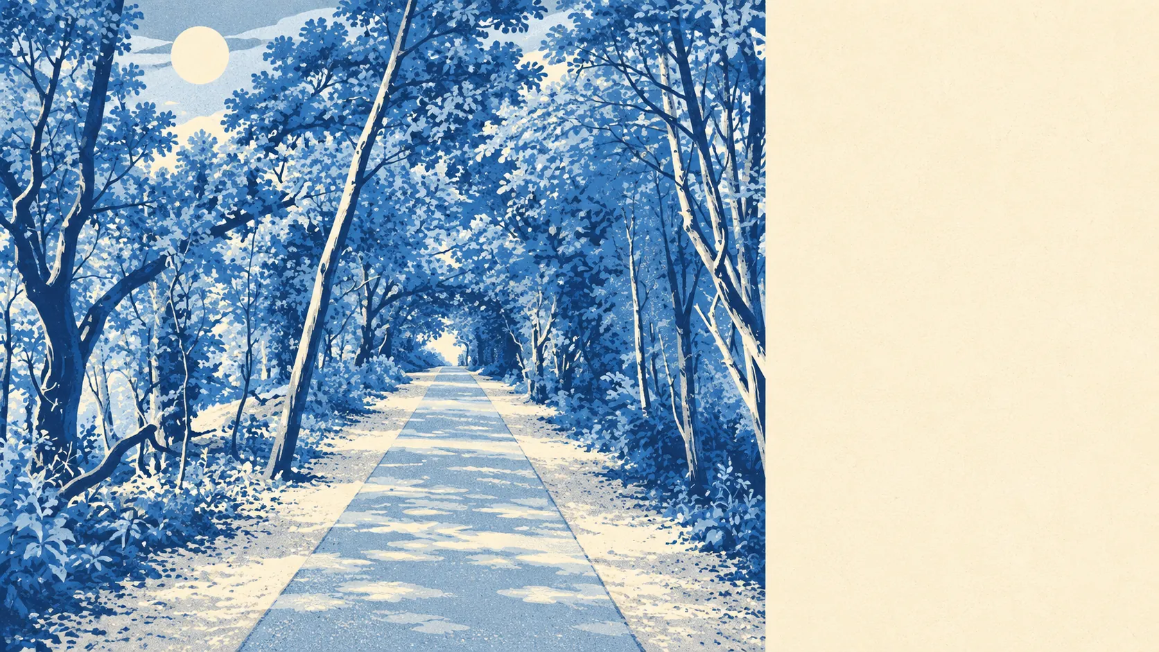
Around Horam, the countryside is the main event. Two-thirds of it sits inside the High Weald. Water is a short stroll from most front doors. The gardens are big enough to lose a dog in. The village is where you sleep between walks.
Public green space is close without being on the doorstep. The typical home in the Horam area has about 3 public green spaces within a kilometre, and the nearest is about 710 metres away. In a place where most of the view is fields, the parks matter less than the footpaths, and the footpaths aren't in short supply.
Water is closer. The nearest pond, stream or other stretch of water averages about 250 metres from a home, with about 24 within a kilometre. The slopes here are cut by headwater streams of the River Cuckmere, the Waldron Ghyll among them, so the water comes in small valleys rather than one big river. It's pretty, and it's the reason a buyer should look at where a garden drains before falling for it.
Cycling takes a bit more effort. The nearest National Cycle Network route averages about 2.4 kilometres from a home, and about 22% of postcodes sit close to it. The Cuckoo Trail follows the old railway line through the village as a footpath, and it's the easiest way into the surrounding country without dicing with traffic on a lane.
The amenity mix is small-town rather than village-pump. Property records for the area list 337 shops, 33 pubs and 23 restaurants, with 237 offices and 78 holiday lets alongside them. Thirty-three pubs is a respectable count for a rural patch, though they're spread across the villages rather than lined up on one street. The holiday lets are a reminder that other people come here for the same scenery you're buying.
Air quality is good by any ordinary standard. Fine-particle pollution across the Wealden council area averaged about 6.4 micrograms per cubic metre in 2024. That's a district-wide figure, not one measured on your street.
The landscape designation matters most. About 66% of the area falls within the High Weald Area of Outstanding Natural Beauty, which protects the view and makes development harder in the same breath. No site of special scientific interest overlaps the area, and no ancient woodland is recorded within it. That doesn't make the countryside any less green. The protection here is for the landscape as a whole, not for particular specimens in it.
The character is scattered rather than centred. Horam takes in Vines Cross and Burlow, with Heathfield up the road, and the surrounding lanes lead out to Herstmonceux Castle, the gardens at Bateman's and conservation-area villages such as Rushlake Green and Warbleton. Nobody walks to the next village for a pint twice in winter. People drive, and they come home to a view.
Private outdoor space is plentiful. Across the area's neighbourhoods, gardens total about 540,000 square metres for every 1,000 residents. That's detached-house, big-plot country, where the question isn't whether there's a garden but whether you can keep up with the mowing.
The business rates list for the area records 302 rateable premises. That's the valuation list's count of commercial property, not a guarantee that every one is trading, and it's a modest total spread across a lot of countryside.
Eating out is clean if not extensive. Of 45 food premises with a hygiene rating, about 84% hold the top score and none sit at the bottom end. Whatever the menu lacks, it's unlikely to be hygiene.
Horam's surroundings are one of its real strengths: protected landscape, water in every valley and private gardens most towns would charge a fortune for. What you give up is a high street you can walk to, and most people here decided that was a fair trade.