Hillingdon is a tidy, green, well-run stretch of suburb with one wet secret. About a third of its postcodes carry a high flood flag, and very little of that comes from a river. For a buyer, the risk arrives with heavy rain and slow drains, so a perfectly ordinary street can carry it.
The Environment Agency's postcode indicators, which include surface water, put about 35% of Hillingdon's postcodes at high risk on at least one measure, about 34% at medium and about 56% at low. The river-and-sea flood zones look much drier. About 1% of the area is in zone 3 and about 2% in zone 2. Twelve flood events are on record, the latest in December 1988, when a main river ran out of channel. Those two measures count different things. Locks, towpaths and the River Colne are what people picture when they think about water here. The postcode flags are mostly about weather falling on suburbia faster than suburbia can drain it.
Crime is the better news. The Metropolitan Police's figures for the year to May 2026 give Hillingdon a published rate of about 81 crimes per 1,000 residents, roughly 38% below the borough average of about 131. Anti-social behaviour makes up about 25% of recorded crime against about 16% nationally, and vehicle crime about 9% against 5%. Violence and sexual offences come in at about 27%, below the national 35%. What crime there is looks suburban, mostly things done to cars and nuisance on the street near them.
History has left a long reach. Historic England lists 161 buildings in the wider area, four of them at grade I and nine at grade II*, and 12 conservation areas fall within the same boundary, including Hillingdon Village and Ickenham Village. The church of St John the Baptist at the top of Hillingdon Hill went up in 1629, got a George Gilbert Scott extension in the 1840s and took a bomb on its south side in November 1940. Inside a conservation area, new windows or a front extension become a conversation with the council. The church outlasted the building it replaced, a Victorian population boom and the Luftwaffe, so anyone planning plastic sashes in Hillingdon Village should expect a similar fight.
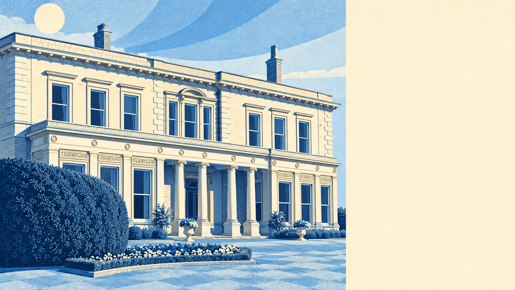
The Land Registry recorded 311 sales in the twelve months to May 2026, at a typical price of about £560,000. Flats went for around £310,000, terraced houses for about £508,000, semis for about £620,000 and detached houses for about £885,000. Band D is the most common council-tax band, and only about 4% of homes are in bands A or B. Hillingdon Court, the mansion Sir Charles Mills built in 1858 as his family home, has been an international school since 1978, which is how most people here will get inside a house that size.
Rent is priced across the whole borough. The Office for National Statistics puts typical private rent across Hillingdon borough at about £1,550 a month in April 2026, up about 2% on the year. That average covers Hayes and West Drayton as well as the roads around Hillingdon Hill. Locally, about 22% of households rent privately and about 10% from a social landlord.
The council-tax valuation list shows a mixed stock. About 28% of homes are flats, 26% semis, 25% terraced houses, 14% detached and 7% bungalows, and only about 12% were built before 1930. That is the shape left by the planned building boom of the 1920s, with post-war building filling the gaps. About half the homes with an energy certificate are rated C or better and about 11% E or worse. Around 81% are on mains gas, and about 7% heat with electricity alone.
Hillingdon tube station is on the Metropolitan and Piccadilly lines, and West Ruislip is on the Central line. The Oxford Tube coach to central London stops here as well, so the place has two different things called the Tube heading into town. The area has 198 bus stops, each averaging about 340 departures on a weekday, and every one of them has a weekend service. At the 2021 census about 37% of workers were at home, about 40% drove and about 2% took the train. Gigabit broadband reaches about 91% of premises.
Most households own their home, about 67% of them. The typical resident is 39, and the Office for National Statistics models average gross household income at about £81,000 for the year to March 2023. Ickenham, at the northern end of the patch, adds a village core of its own. The list of people with a Hillingdon connection includes Bernard Miles, Alfred Marks, James Corden and Claire Richards. The Domesday Book called the place Hillendone, possibly the hill of a man named Hille, and he would recognise the hill and very little else.
Green space is where Hillingdon does best. The nearest park or green space is on average about 150 metres from a front door, with around 21 of them within a kilometre, and water is on average under 500 metres away. Hillingdon Court Park is the part of the Mills estate the council bought, and it now belongs to the people who could never have afforded the house. Most residents can be on grass before the kettle boils.
Hillingdon makes sense for buyers who want a semi, two tube lines and a park at the end of the road, and who will pay London prices for outer-London calm. Anyone after a cheap house or a street of untouched period houses should look elsewhere.
Flooding is the thing to take seriously here, because a high flag on a third of postcodes means rain collecting on ordinary roads a long way from any lock gate. Weigh that against the parks, the water and crime well below the borough's, and Hillingdon comes out comfortably on the right side of average. It is a suburb that gets nearly everything right until the rain gets heavy.