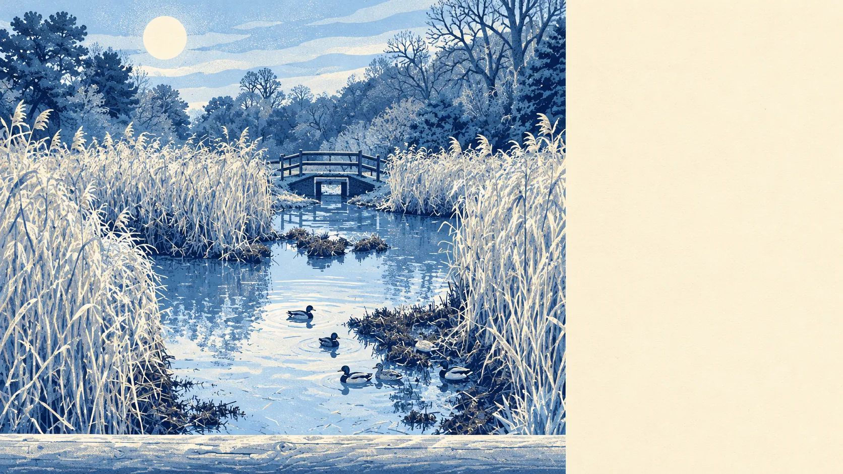
The area around Harpenden is open, green and close at hand from almost every front door. Most homes are a couple of minutes' walk from green space. Two commons frame the town. Old railway lines have been turned into cycle paths. The countryside here is worked and walked, with no official protection to make it precious.
The average Harpenden home is roughly 160 metres from its nearest public green space, with about 19 within a kilometre. Harpenden Common runs into the middle of town, and its southern edge gives onto the open ground at Nomansland, where England's first annually contested steeplechase was run in 1830 and the bare-knuckle fighter Simon Byrne had his last fight. The most violent thing on it now is a dog off its lead.
Water is about 550 metres from the average home, with about eight stretches of it within a kilometre. Most of that is the River Lea, which runs through the valley on the north-east side of town past Batford, while the town centre stands in the dry valley to the south-west.
The National Cycle Network is about 510 metres from the average home, and about 57% of homes are close to it. Harpenden's cycle routes are its old railways: the Nicky Line to Redbourn and Hemel Hempstead, and the former Dunstable branch through Batford, both now off-road paths. There is no ancient woodland within the area.
The rated-premises list counts 176 shops, 19 pubs and 27 restaurants in Harpenden. A high street with more than six shops for every pub says plenty about who does the shopping here and when.
Fine-particle air pollution averaged about 7.5 micrograms per cubic metre across the St Albans council area in 2024.
The country around the town still carries the names of the farmsteads that were cleared out of woodland in the Middle Ages, the Ends and Greens: Ayres End, Thrales End, Hatching Green, Mackerye End. Kinsbourne Green, on the north-west edge, has almost joined the town. Rothamsted Research works the farmland to the south-west of the centre, where some of the field experiments Lawes and Gilbert began are still running. Harpenden's best-known landscape is a set of fields that scientists have kept doing the same thing for longer than anyone in town has been alive.
Private gardens add up to about 178,000 square metres for every 1,000 Harpenden residents, a generous amount of private outdoor space for a town. With most of the housing post-war and detached or semi-detached, plenty of homes come with a garden big enough to lose a football in.
The business rating list records 727 rateable premises in Harpenden, with offices the largest group at 236 premises, followed by shops. That is a count of premises on the valuation list, which is not the same as businesses open and trading, but it describes a town where plenty of people run something from a small office on the high street.
St Albans council's food hygiene inspectors have rated 170 food premises in Harpenden, and about 74% hold the top score of five. About 3% sit at the bottom end.
No protected landscape overlaps Harpenden: there is no area of outstanding natural beauty, no site of special scientific interest and no ancient woodland. The commons, the fields and the Lea valley are everyday countryside, open for use without a designation to look after.
The surroundings are one of Harpenden's real strengths, with open commons and countryside a short walk from almost everywhere and old railway lines to cycle out into it.