The area around Hackney Central is greener than a place this crowded has any right to be. A park is barely a hundred metres from the average front door. There are about seventy green spaces within a kilometre. Water is a short walk away. Most of the outdoors here is public, and the private share is small.
On average, the nearest green space is about 100 metres from a home in Hackney Central, and there are about 70 green spaces within a kilometre. London Fields is the park the neighbourhood is named after, St John's Church Gardens sit beside the old church, and the Victoria Park and Clapton Pond conservation areas take in more green ground nearby. In the 18th century the Loddiges family ran an extensive plant nursery on open ground off Well Street, so Hackney has been growing things where land is tight for a very long time.
Water is close too. The nearest blue space, a canal, pond, lake or river, is about 620 metres from the average home, and there are about 22 within a kilometre. The Regent's Canal conservation area runs through the reach of that walk.
The National Cycle Network is a little further, about 1,900 metres from the average home, and 0% of the area's postcodes count as close to it. That matters less than it sounds, because the commute is mostly on Hackney's own streets.
The high street is crowded and busy. Ratings records list 725 shops, 23 pubs and 78 restaurants across the area. Mare Street, The Narroway and Broadway Market carry most of the daily trade, with Town Hall Square at the civic end.
Hackney Council's area measured about 9.7 micrograms of fine particles per cubic metre of air in 2024.
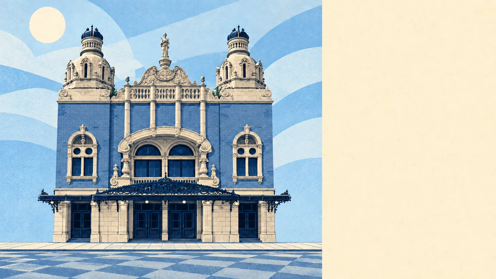
In character, Hackney Central is the borough's civic and shopping core set inside an old parish. It still has its Tudor tower, a Georgian church, a 1930s town hall in Portland stone and a music hall by Frank Matcham. Dalston, De Beauvoir Town, London Fields and Shacklewell all join it within walking distance, each with its own conservation-area streets. Between Ash Grove and London Fields there is a small industrial estate, still working. Even a neighbourhood this polished has to keep its buses and its vans somewhere.
Private outdoor space is scarcer. Residents have about 13,400 square metres of private garden for every 1,000 people. In an area where most homes are flats, that space goes to whoever lives on the ground floor, and everyone above makes do with a window box.
The valuation list holds 2,843 rateable premises in the area. Offices come first with 731, then shops with 721, then two classes of industrial and workshop premises with 379 and 338, and 78 restaurants. These are premises on the council-tax-style business list, which is a record of property, so some will be empty and some will be trading under another use. The mix still shows an area where people go to work as well as home to sleep.
There are 587 food premises with a hygiene rating, and about 59% of them hold the top score of five. About 6% sit at the low end. A place with 78 restaurants and two-thirds of its kitchens near the top is one where a bad meal is usually down to the menu and rarely to the kitchen.
None of the area falls under a protected-landscape designation. There is no area of outstanding natural beauty, no site of special scientific interest and no ancient woodland. This is a city landscape of parks, gardens and canal banks, all of them made by people and all of them heavily used.
For public green space close to home, Hackney Central is about as good as inner London gets. A park, a canal and somewhere to eat are all close by. A garden of your own is the hard thing to find.