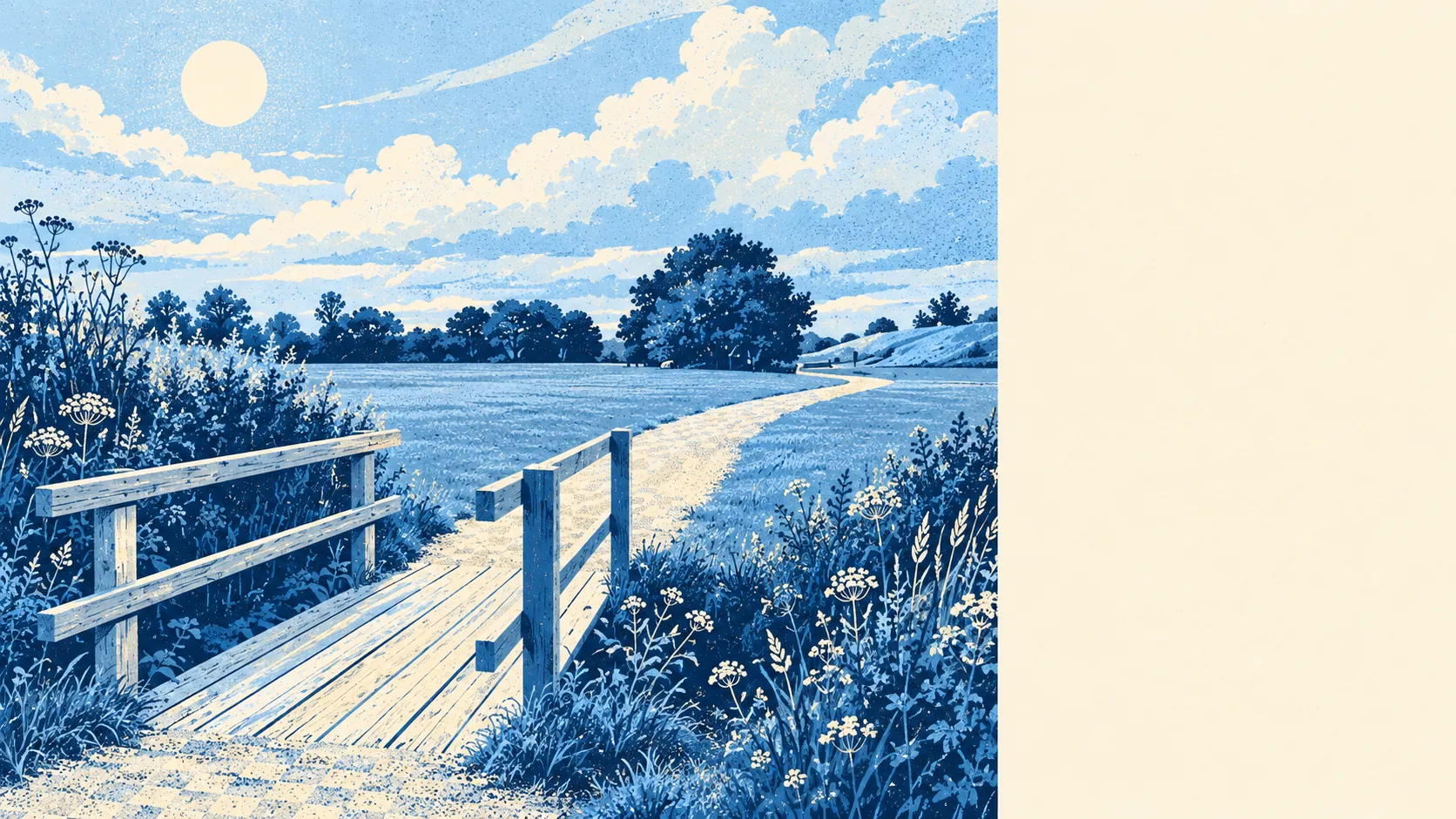
The area around Great Notley is green, watery and built for walking the long way round. Parks and open spaces are a few minutes from most front doors. Ponds and streams turn up even closer than you would expect. The cycle network runs past nearly every house. The surroundings are generous, and nothing in them is grand.
Green space here is close and plentiful. The average home has about 14 parks or open spaces within a kilometre, and the nearest is typically about 230 metres away. On estates laid out from scratch, the green bits were drawn in at the same time as the roads, and it shows in how evenly they are spread.
Water is just as close. The nearest stretch of blue space, a pond, lake or watercourse, sits about 240 metres from the average home, and there are about 38 within a kilometre. For a village with no river worth naming on the flood maps, Great Notley has a remarkable amount of water lying about in its open spaces.
The National Cycle Network passes within about 200 metres of the average home, and about 96% of homes are close to it. The bike can leave the estate without first being loaded into the car.
Across the wider CM77 postcode district, the rated-premises list counts 113 shops, 12 pubs and 17 restaurants. That district reaches well beyond the village's own closes, so those totals describe the spread of what is within a short drive, and the village itself carries far fewer.
Fine-particle pollution across Braintree district averaged about 7 micrograms per cubic metre in 2024. That figure covers the whole council area, from the town to its farmland.
The neighbours give the place its texture. Black Notley lies alongside, with its church and the moated site and fishponds by the churchyard, while Rayne, Young's End and Braintree's Bocking ring the other sides. Gubbion's Hall moated site lies in the same stretch of countryside. A village coined in the 1990s is surrounded by places with moats, and the moats arrived first.
Private outdoor space is generous. Great Notley has about 105,000 square metres of private garden for every 1,000 residents, which describes family houses on proper plots with lawns at the back. Public green space is close, and most homes have their own patch as well.
The valuation list records 200 rateable premises in the area, and offices are the largest group at 77, ahead of warehouse and workshop premises, with 12 shops further down the list. Those are premises on the rating list, which counts buildings that are rateable and says nothing about whether a business is trading in them today. The village is a place people live in and drive out of to shop.
Eating out locally is a short list with clean kitchens. Of 27 food premises with a hygiene rating, about 96% hold the top score of five, and none fall at the bottom of the scale.
No protected landscape overlaps Great Notley: no area of outstanding natural beauty, no site of special scientific interest and no ancient woodland. The countryside here is working farmland and planned open space, and the green on the map belongs to the village's own design and to nobody's conservation designation.
For green space, water and paths on the doorstep, Great Notley is one of the better-provided villages a family could pick, with the outdoors built into the estate plan and real countryside a short ride away.