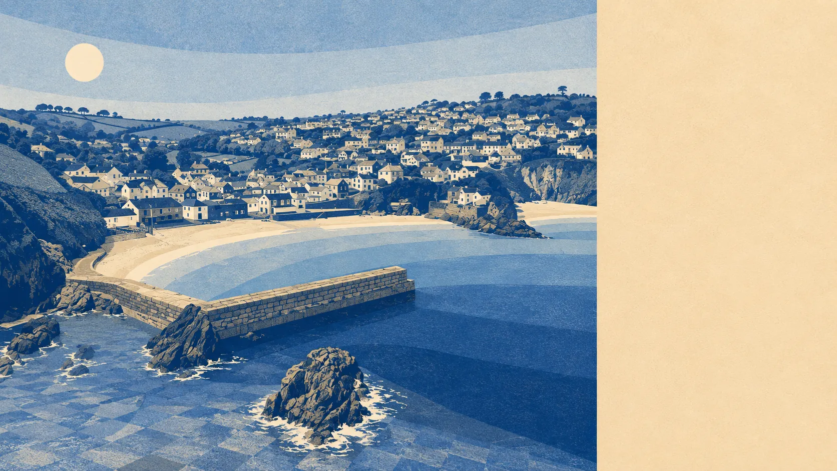
Green, wet and extremely quiet. Open space starts a couple of hundred metres from the average front door. Water is barely further away than the grass, and there are eighteen stretches of it inside a kilometre. Almost none of it is designated, protected or explained by a signboard. The countryside here is not a visitor attraction with a car park. It is simply what is on the other side of the gate.
The green-space mapping puts about 4 accessible sites within a kilometre of the typical postcode, with the nearest averaging roughly 230 metres away. That is not a park network in the municipal sense. It is the outdoors beginning where the houses stop, which is a different arrangement and a better one.
Water is closer still in the sense that matters. Open water of some kind averages about 340 metres from the typical address, with around 18 separate stretches within a kilometre. For a village of this size that is an unusual concentration, and it is the single fact that best explains why people pay what they pay to live here.
For getting out into it under your own power, the National Cycle Network sits about 900 metres away on average, though only about 4% of postcodes count as genuinely close to it. Cycling here is a leisure decision rather than a transport one, and the contour lines are not consulted about your plans.
The amenity mix has to be read at the postcode district level, because a village this small does not generate its own retail statistics. Across the wider PL26 district, the valuation list carries 124 shops, 20 pubs and 14 restaurants. That is a rural high street distributed across a lot of separate villages rather than concentrated into one, so the pub you end up in probably depends on which lane you drive down.
Air quality for the Cornwall council area came in at about 5 micrograms per cubic metre of fine particles in 2024, which is a council-wide figure rather than a village one.
The immediate surroundings are a scatter of small named places rather than anything resembling a suburb. Gorran Churchtown, Boswinger, Penare, Treveor, Tregavarras and Portmellon sit around it, with Mevagissey and its own conservation area to the north. Dodman Point carries a prehistoric cliff castle, barrows and a medieval field system among its scheduled remains, and Castle Hill holds a defensive enclosure. The area has been occupied by people who liked a defensible view for a very long time, and the current residents have simply paid more for the same opinion.
Private outdoor space is where this area quietly outperforms almost anywhere urban. Gardens here run to roughly 457,000 square metres per 1,000 residents. Whatever else buying here costs you, it does not cost you somewhere to put a table.
The local rating list is a reminder of how small the working economy is: 63 rateable premises across the area, and they are not evenly spread, with a single category accounting for 41 of them and everything else appearing in ones, twos and sixes. Those are premises on the valuation list rather than businesses currently trading, so treat the count as buildings with a use, not shops with a light on. Across the wider PL26 district the same list carries 377 holiday lets, which tells you plenty about what the coast has been converted into.
Eating out is a small field with a clean record: 4 premises here carry a food hygiene rating, all of them at the top score, and none at the bottom. A perfect result, admittedly from a very short examination.
One honest absence worth stating: the mapping records no area of outstanding natural beauty overlapping this area, no site of special scientific interest, and no ancient woodland. The landscape is not underwritten by a designation. It is just coast, fields and water that nobody has got round to labelling.
For surroundings, Gorran Haven is close to as good as this data gets: water and green space effectively at the door, gardens of a size townspeople find implausible, and nothing between the village and the coast except the walk down to it.