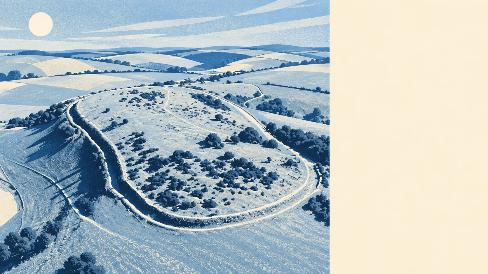
The area around Findon is chalk downland with a village tucked into the bottom of it. Green space starts a short walk from most front doors. The sea is a drive, not a stroll. Pubs outnumber restaurants by some distance. The scenery is prehistoric, and the conveniences live somewhere else.
Green space is the easy part. The nearest patch sits about 318 metres away on average, and there are around six green spaces within a kilometre of the typical home. That's the kind of access where a dog owner never has to plan a walk, only choose one, and the dog has opinions about which.
Water is further off. The nearest blue space, meaning a river, lake or the sea, sits about 2.8 kilometres away on average. Findon is a hill-and-field village rather than a waterside one, and anyone who moved here picturing a morning swim has confused it with the coast below.
Cyclists get less than walkers. The nearest stretch of the National Cycle Network sits about 6.4 kilometres away on average, and none of Findon's postcodes are close to it. There's no ancient woodland inside the area either. The riding here is on the lanes and the hills, which suits the kind of cyclist who wears the full kit on a Sunday and treats a gradient as a personal challenge.
Across the wider area around the village, property records count 437 shops, 28 pubs and 13 restaurants. Pubs beat restaurants roughly two to one, which says plenty about how the local social calendar gets organised. Findon's own food premises are few but clean: 16 are rated for food hygiene, and about 94% of those hold the top score.
The air is clean by most standards. Fine-particle pollution across the Arun council area measured about 6 micrograms per cubic metre in 2024, a council-wide figure rather than a reading from the village green.
The character comes from what sits on the hills. Cissbury Ring and Chanctonbury Ring, both hillforts, crown the Downs around the village, with barrows, cross dykes and prehistoric flint mines scattered across the slopes, and High Salvington Windmill stands a little further south. Findon Valley, High Salvington and Salvington run down towards Worthing on one side, while Storrington and Wiston sit on the other, where Wiston House keeps the grand-estate end of things. The whole area reads as old ground with a light layer of modern life on top. People come here to walk up something and look at something else.
Private outdoor space is generous. Across Findon's statistical areas, there's roughly 301,000 square metres of garden per 1,000 residents, a figure that describes lawns rather than window boxes. Most homes here come with a proper garden, and the weekend soundtrack reflects it.
The village itself is small in commercial terms. The valuation list holds 63 rateable premises, and the largest single group is 12 shop premises, followed by a spread of smaller categories. These are premises on a list, not a guarantee of anything trading behind the door. What they add up to is a village with the basics and very little beyond them, where a bigger shop means a car trip.
Eating out is a safe bet on hygiene if nothing else. About 94% of the 16 rated food premises hold the top five-star score, and 0% sit at the low end. Few places to eat, but nobody's gambling on the kitchen.
On paper, the area carries no protected-landscape designation of its own: no area of outstanding natural beauty, no site of special scientific interest and no ancient woodland overlaps it. That's not a mark against Findon. It means the hills, the paths and the monuments do the work without a formal badge on this particular patch.
The surroundings are one of Findon's strong suits. Green space comes easily, gardens are big and the hills carry more history than most towns manage, with the sea and the cycle routes the only things that need a drive.