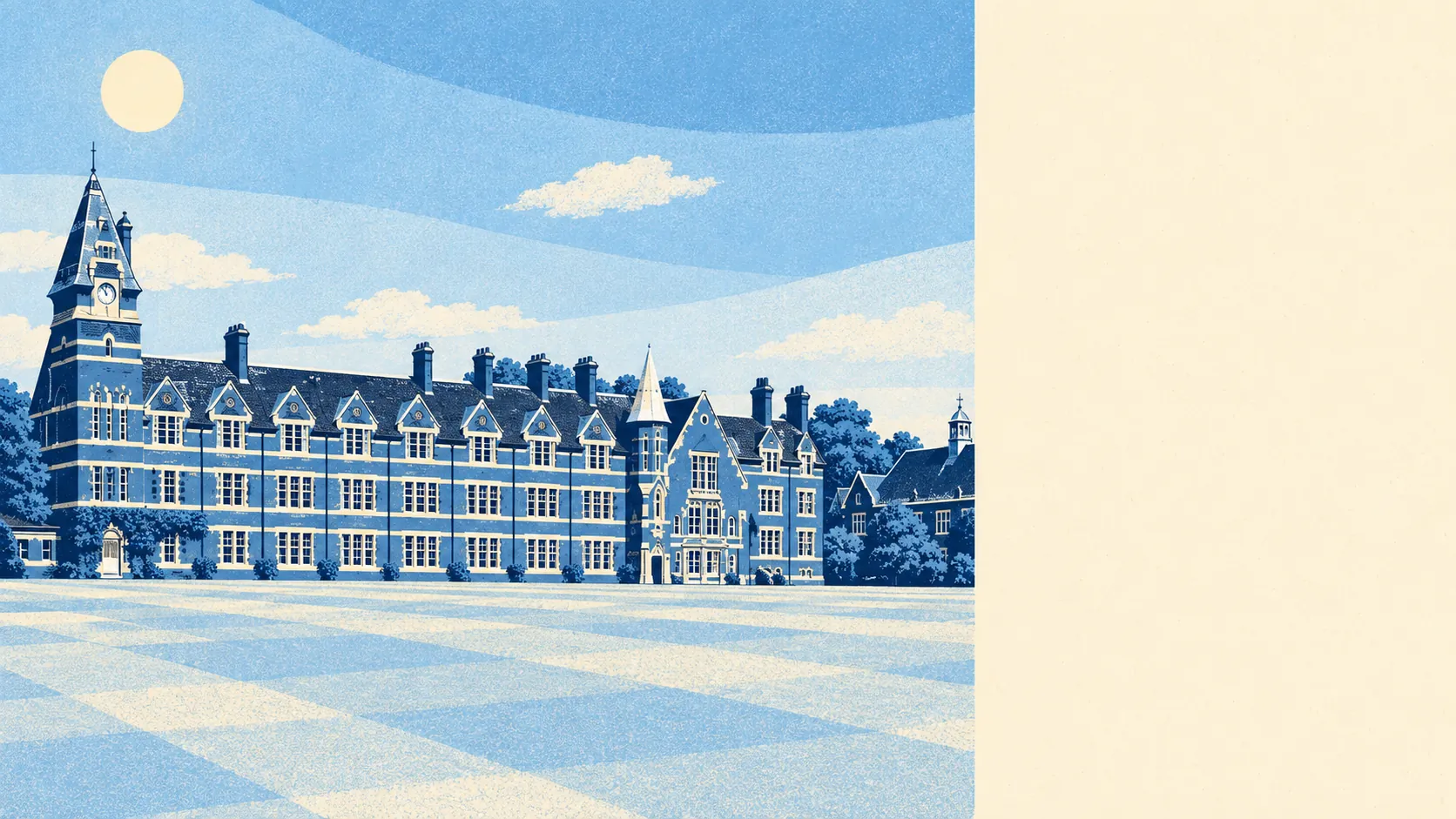
The area around Felsted is open Essex farmland with a river along one side and a garden behind most houses. Green space is a short walk from nearly every door. The water is closer than the shop. Nothing here carries a landscape designation, and nobody misses one. The countryside is the reason people pay what they pay.
Felsted homes are on average about 170 metres from the nearest public green space, and there are around six green spaces within a kilometre. For a village that size, that means the walk to open ground is shorter than the walk to most neighbours' front doors in a town.
Water is nearly as close. The nearest blue space, whether river, pond or stream, is on average about 240 metres away, with around 24 within a kilometre. Felsted lies on the north bank of the River Chelmer, and the parish is threaded with ponds and brooks on top of that. Bannister Green, Watch House Green, Gransmore Green and Cobbler's Green ring the village, and the parish ran out of ideas for names well before it ran out of greens.
The National Cycle Network is on average about 1,060 metres away, and none of Felsted's postcodes are close to a route. The cycling here is lanes and fields, which is lovely until the tractor arrives.
The rated-premises records for the wider area count 121 shops, 25 pubs and 16 restaurants, a picture that reaches well beyond Felsted's own streets into the surrounding district. Felsted's daily life runs on that wider spread, with the village supplying the pub and the walk, and the towns supplying the rest.
Uttlesford recorded fine-particle pollution of about 7 micrograms per cubic metre in 2024, a figure for the whole council area.
The village's character comes from its oldest pieces and its open edges. Leez Priory, with its Tudor gatehouse, sits out in the fields to the south of the parish, and Hartford End has its listed mill. Felsted School's grounds take up a slice of the village, and the Felsted conservation area holds the old centre together. Flitch Green, built on the site of the old sugar beet factory in the valley towards Little Dunmow, is the modern counterweight.
Private gardens are the part nobody advertises enough. Felsted has about 374,000 square metres of garden per 1,000 residents, which is space on the scale of small paddocks. The public footpaths are a bonus for most households, because the first open space many residents reach is their own lawn. That much garden on clay ground also means a lot of mowing and a lot of trees near foundations, and the useful check is how close the largest trees stand to the house.
The valuation list records 15 rateable premises in Felsted itself, with shops the most common type, four of them, and the rest a scatter of smaller categories. Rateable premises are entries on a list, so a few may be empty or doing something else by now. Felsted's commercial life is about the size of a busy parade, and the village seems content with that.
Nine food premises in Felsted carry a hygiene rating, and about 78% of them hold the top score of five, with none rated at the low end. Nine is a small enough number that one kitchen inspection changes the percentage, and here none has needed to.
No area of outstanding natural beauty, site of special scientific interest or ancient woodland overlaps Felsted. The countryside here is working farmland and river valley, protected by nobody's label and pleasant anyway.
The surrounding area is where Felsted is at its best. Green space, water and private gardens all sit within a few minutes of almost every home, and that is what the village sells.