Outside town, Fareham gets noticeably better. The typical postcode sits about 230 metres from public green space. There are roughly a dozen green spaces within a kilometre of the typical address. The coast is around 450 metres away on average. Villages, abbey, castle and forts ring the town in every direction. The town is the workplace; the area around it is the reason most buyers actually like living here.
On green space, Fareham scores well on access. The typical address has about a dozen separate public green spaces within a kilometre, and the nearest one is about 230 metres away on average, which is the kind of access most south-coast towns advertise but few deliver. Blue space, meaning the sea, the harbour, the rivers and the larger inland water bodies, sits roughly 450 metres from the typical address, with about 35 separate blue-space sites within a kilometre. The national cycle network sits within easy reach of around seven in ten postcodes, which is enough to make cycle-commuting work for the people who want it. There is no Area of Outstanding Natural Beauty overlap, no Site of Special Scientific Interest within the area, and no ancient woodland either, which is the trade-off for being a working built-up south-coast borough rather than a protected landscape. The green is everyday-green: parks, recreation grounds, the foreshore and small woods, not the postcard-green of a national park.
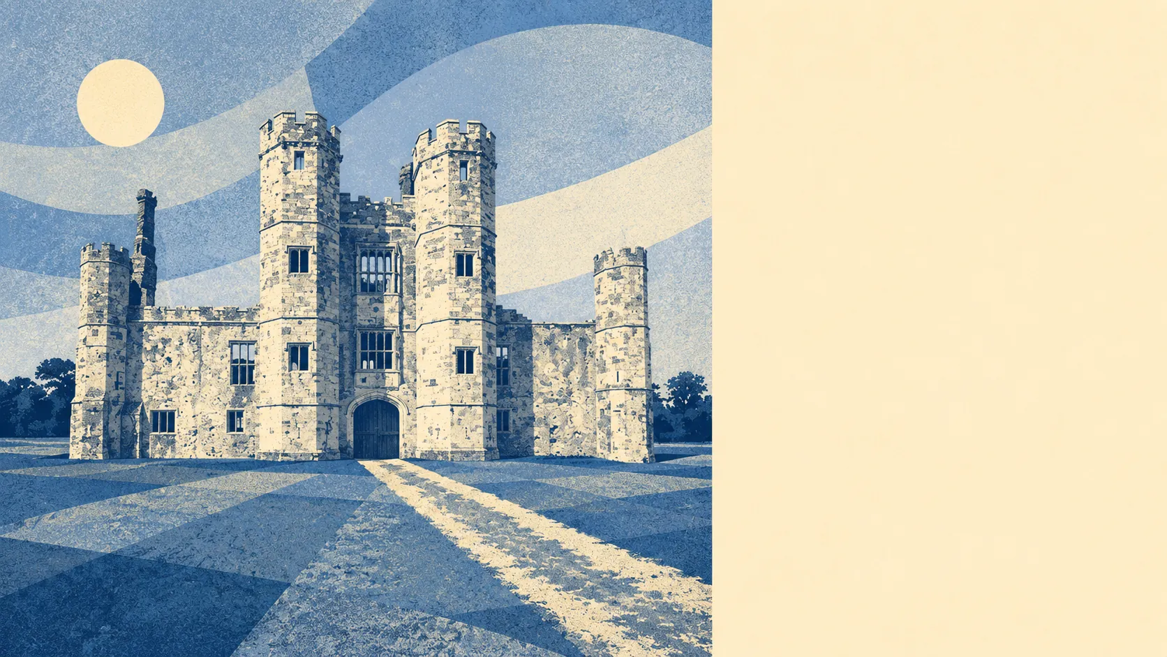
On character, the surrounding villages and named places define the texture of the area more than the town centre does. To the east and across the harbour, Portchester sits around the bones of Portchester Castle, the Roman shore-fort that has stood there far longer than anything else in the picture. To the west, Titchfield is the older village around the River Meon, with the ruins of Titchfield Abbey and a defined conservation area covering its old streets and the abbey grounds. Down the coast, Hill Head and Stubbington run the bungalow-and-bay-window strip along the Solent. North through the Meon Valley, smaller settlements like Funtley, Wickham, Catisfield, Boarhunt, Wallington, Knowle and Park Gate make up the rural fringe. Further west, Whiteley sits as a newer planned settlement with its own business park alongside it. Heritage anchors thread the whole area together: the Old Manor House and the Chesapeake Mill in the older streets, the Nelson Monument on the high ground, and a string of Victorian-era forts including Fort Brockhurst, Fort Fareham, Fort Nelson, Fort Elson and Fort Southwick that mark the old defensive ring of the original Portsmouth garrison. The cumulative effect is of a borough with more historical material per square mile than its motorway-corridor reputation gives it credit for, and most of the day-to-day living happens at the scale of villages and small centres rather than at the scale of the town itself.
The area around Fareham is the strongest part of Fareham's case. The town does the working; the land around it does the convincing.