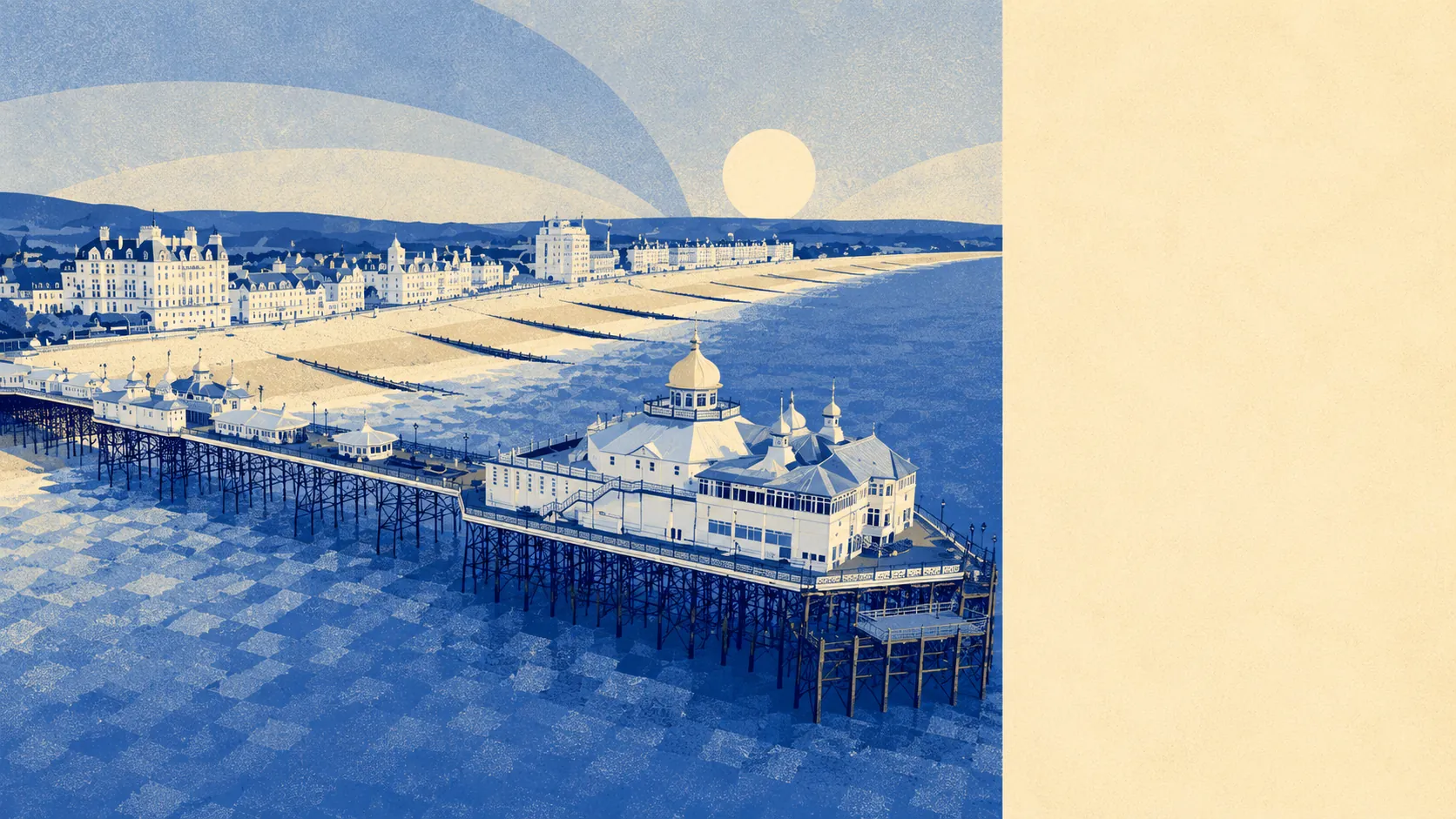
Eastbourne's best feature is what surrounds it. The South Downs run along the back of the town. Beachy Head, the tallest chalk sea cliff in Britain, sits at the western edge. The Seven Sisters and the Cuckmere Valley pick up from there. The average postcode sits less than 200 metres from a piece of green space, with around 20 separate pockets of public green within a kilometre. This is the dimension where Eastbourne stops being an above-average town and becomes the best version of itself.
The green-space density is the headline. The typical postcode sits about 177 metres from a piece of public green, with around 20 separate greenspaces inside a kilometre. The nearest stretch of open water lies within roughly 400 metres of an average postcode, and the same postcode has access to around 40 separate water features inside a kilometre, which is what living next to the Channel does for a count. The Eastbourne Downland Estate, owned by the town in perpetuity since the 1926 Eastbourne Corporation Act, covers a large stretch of farmland and chalk downland running from the back of Meads up onto Beachy Head and along to East Dean. The Site of Special Scientific Interest covering the Seaford to Beachy Head stretch picks up where the urban edge ends. No part of the town overlaps any designated Area of Outstanding Natural Beauty, but the land that meets it on the western edge sits within the South Downs, which is closer to a hard guarantee that the view will still be there in twenty years.
The character of the surrounding villages and hamlets does most of the rest. To the west, the chalk valley villages of East Dean, Friston, Birling Gap, and the Cuckmere stretch sit within easy reach for a Sunday lunch and a coastal walk. Crowlink, Litlington, Westdean, and Wilmington carry the same chalk-and-flint architecture, the same village pubs, and the long-running connection to the South Downs Way. To the north, Willingdon, Jevington, Folkington, and Wannock sit at the foot of the scarp. To the east, the Pevensey Levels stretch out as low marshland punctuated by Pevensey and Pevensey Bay, the medieval Pevensey Castle, Stone Cross, Westham, and Hankham. The Cuckmere Valley to the west is a conservation area in its own right, as are Alfriston, Berwick Village, East Dean, Jevington, Litlington, and Wilmington. None of those names exist for show; they are working villages with shops, churches, schools, and the kind of historic continuity that gets photographed without anyone realising it. The Long Man of Wilmington, the chalk hill figure cut into the Downs above the village of the same name, is the most famous local landmark nobody can quite date the origin of.
Day-to-day amenity within walking and cycling distance is solid. The cycle network is patchy in places, with the average postcode some 1.6 kilometres from a marked national cycle route, but the immediate coastal and seafront paths are good. The seafront promenade itself runs the length of the town and is used hard by residents rather than seasonal visitors. The Holywell end to the west blends into the open downland. The Sovereign Harbour marina end to the east is the modern composite-marina district that gave the town a new edge in the past few decades. Either end of the town offers walks that most of the country would have to drive an hour to find.
The area around Eastbourne scores five out of five, the maximum, and that is the right reading. The Downs, the cliffs, the chalk valleys, the marsh and the medieval castle, the seafront and the villages, all sit within a postcode or two of each other. This is what the town is for.