The area around East Ham is far greener than a district this crowded has any right to be. The nearest green space is usually at the end of the road. About two dozen more are inside a kilometre. The oldest churchyard in the district has been handed over to nature. Nobody here owns much garden, and the council has quietly made up the difference.
The average East Ham home is about 170 metres from a green space, with about 25 of them inside a kilometre. Central Park and Plashet Park are the two largest, both with playgrounds and cafés, and Priory Park and Flanders Field fill in the smaller gaps. The churchyard of St Mary Magdalene, a Norman church, is kept as a nature reserve and is the largest of its kind in Greater London. Further out, West Ham Park, Wanstead Flats and Valentines Park are all within the wider area.
Water is about 550 metres from the average home, with about 17 bodies of water within a kilometre. East Ham sits between the Thames and the Roding, which explains how much of it there is.
The National Cycle Network is about 1.3 kilometres from the average home, and only about 20% of homes are close to it. There is no ancient woodland in the area. Cycling here means the roads, and only about one resident in fifty commutes that way.
The valuation list holds 1,185 rateable premises in East Ham, and the mix is mostly retail. About 614 of them are shops of one kind or another, against 152 offices, 51 warehouses, 37 restaurants and 7 pubs. Those are premises on the rating list, which counts property and says nothing about who is trading from it this week. Seven pubs for a district this size makes East Ham a place that shops a great deal more than it drinks.
Of the 460 food outlets rated for hygiene, about 43% hold the top score and about 17% sit at the low end of the scale. A quick look up of any takeaway on the food hygiene register takes less time than ordering from it.
Newham recorded fine-particle pollution of about 9.6 micrograms per cubic metre in 2024, a figure for the whole council area.
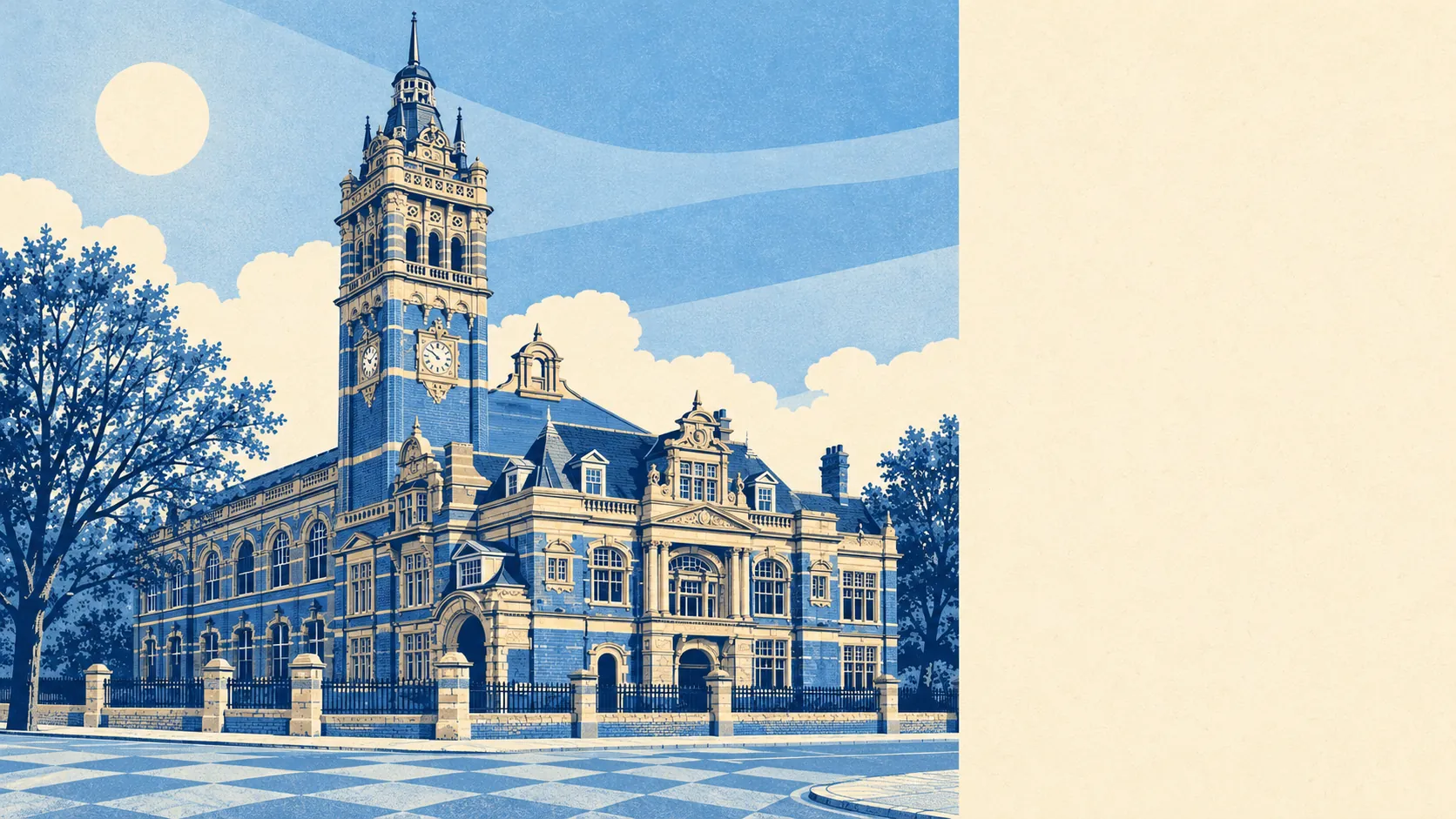
Character comes from the Edwardian streets and the buildings that outlived the people who built them. The parish church dates to the first half of the twelfth century, East Ham Town Hall still carries its clock tower over the junction of Barking Road and High Street South, and Barking Abbey, a scheduled monument, is just over the border. Boleyn Castle stood on Green Street from the sixteenth century until the 1950s, and the name went on to outlast the castle by decades, attached to a football ground.
Private gardens are modest. East Ham has about 19,200 square metres of garden for every 1,000 residents, the measure that shows how much outdoor space people have to themselves, and in a district of terraces most of that comes in narrow strips behind the back door. The parks do the work the gardens cannot.
None of the area falls in an area of outstanding natural beauty, a site of special scientific interest or ancient woodland. East Ham's green space is the urban kind, laid out for people, and none of it comes with a designation attached.
For somewhere this dense, the green space around East Ham is one of its best features, close to almost every door and spread across parks, a churchyard reserve and the river edges. The gardens are small and the parks more than make up for them.