The best thing about Dulverton is not in Dulverton. Open space begins about a hundred metres from the average front door. Running water is barely further away than that. The high street is small enough to walk in one go and holds more than the population would suggest. The town is the place you sleep, eat and park, and the point of the exercise lies in every direction outward from it.
Green space is not something residents have to plan for. Public open space sits about 120 metres from the typical postcode, with roughly nine separate sites within a kilometre of it. That is access measured in seconds rather than car journeys, and it is the reason the walking share of local life looks the way it does.
Water is the other half of it. Blue space averages about 230 metres from a postcode, and there are roughly 28 water features within a kilometre. That figure is the valley showing its working: the Barle through the middle, the Exe on the parish boundary, and the streams that feed both. Nowhere in the town is meaningfully far from the sound of running water, which is either the reason you move here or the reason you do not sleep.
For getting further out, the National Cycle Network runs about 370 metres from the typical postcode, and roughly 72% of postcodes sit close to it. The gradients are what they are, and nobody moves to a valley on Exmoor for flat cycling, but the route is there and it is not a drive away.
The high street itself carries 38 shops, six pubs and two restaurants. For a town this size that is a genuinely working centre rather than a row of shuttered frontages with a post office holding the line. Six pubs is the number that tells you what kind of place this has always been.
On air, fine particle pollution across the Somerset council area averaged about 5.5 micrograms per cubic metre in 2024. That is a council-area figure covering a great deal of open country rather than a reading taken on Fore Street, but nothing about the setting suggests the town is doing worse than the county it sits in.
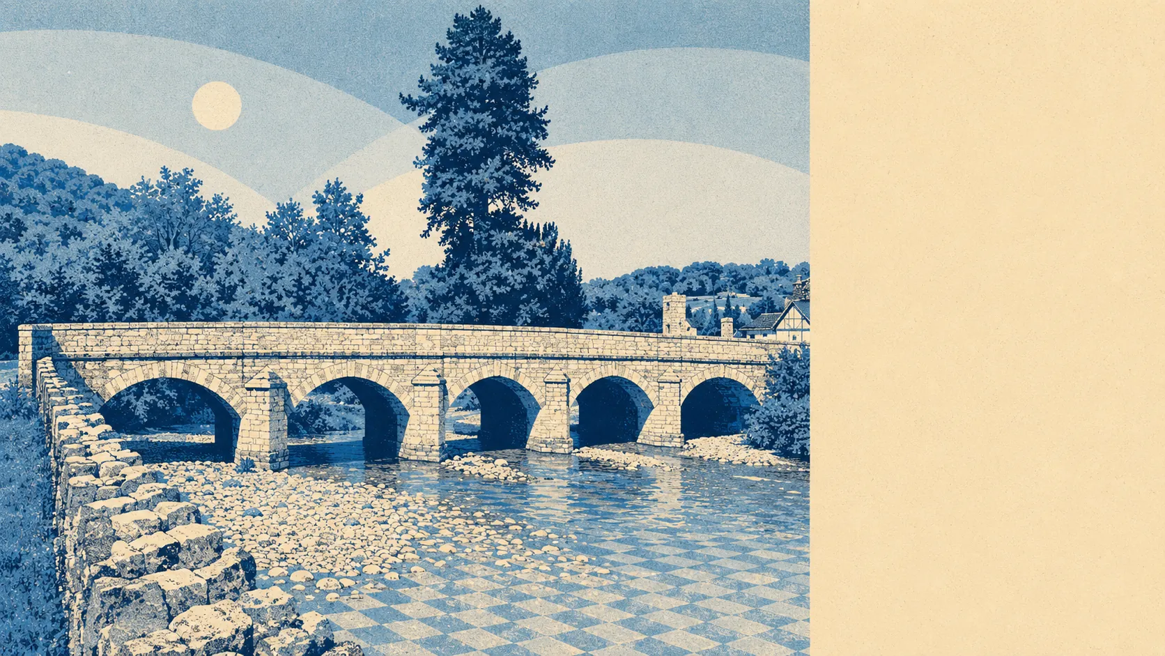
The character comes from the geography and refuses to be talked out of it. The town sits at a river crossing in a wooded valley, with Tarr Steps upstream, a clapper bridge that local legend says the devil laid to win a bet, which is a better origin story than most market towns manage. Around it sit Battleton, Bury, Brushford and Exebridge, with Brompton Regis and Exton further out towards the Brendon Hills and Wimbleball Lake. These are hamlets and villages rather than suburbs. The distinction matters, because the second one implies a bus.
Private outdoor space is the thing nobody quotes and everybody wants. Gardens here run to about 422,500 square metres for every thousand residents, which is a number that only sounds abstract until you compare it with the terraced life most buyers are leaving. Houses here have gardens, and the gardens are not decorative.
Commercially, the local rating list carries 98 rateable premises, including 11 offices, alongside the shops and pubs already mentioned. It also carries 45 holiday lets, which is the single most revealing figure on this page. A significant part of the town's building stock is arranged around people who are here for a fortnight, and that shapes the pavements in August, the parking, and what the shops choose to sell.
Of the 24 food premises with a published hygiene rating, about 92% hold the top score and about 8% sit at the lower end. For a place with this many kitchens per resident, that is a good return, and it is worth checking any specific rating on the register rather than guessing.
One honest absence: none of the postcodes here fall inside an area of outstanding natural beauty, a site of special scientific interest, or ancient woodland on the mapping used for this page. That is a statement about where designation boundaries happen to fall, not about the quality of the landscape, which nobody who has stood on the bridge would question.
The surroundings are the strongest thing Dulverton has, and it is not close. Everything else on this page is a negotiation; the countryside is just there, about a hundred metres away, every day, whether you deserve it or not.