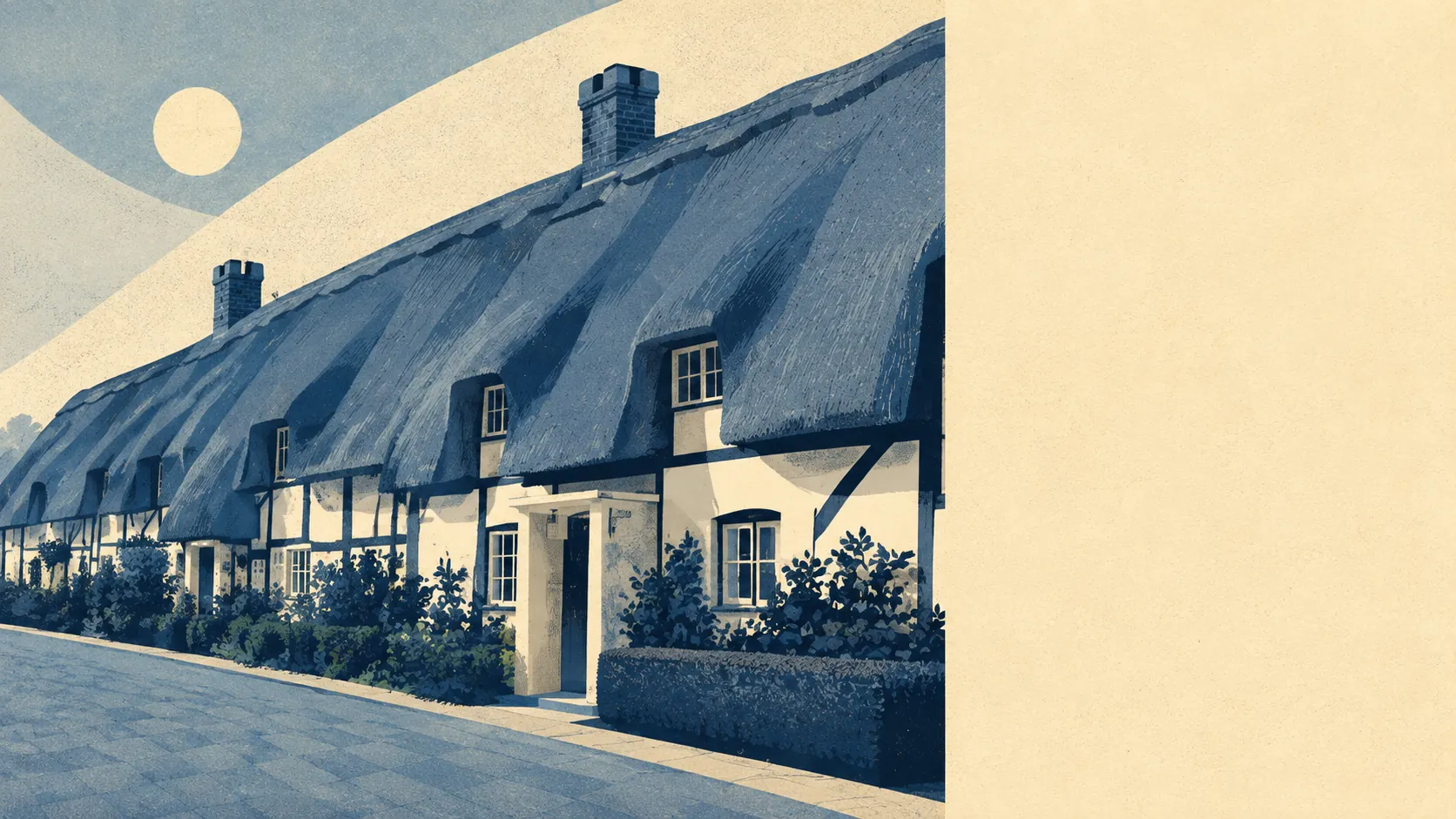
Green, wet, and ringed by hamlets with names that sound invented. Open space starts within a couple of minutes of most front doors. Water is barely further away, and there is an enormous amount of it. The neighbours include places called Lover and Bohemia, which tells you the naming was settled long before anyone had to write it on a mortgage application. This is countryside that turns up immediately rather than after a drive.
On the mapped access figures, the average postcode here sits about 130 metres from its nearest green space, with around 13 separate green spaces inside a kilometre. That is not a park at the end of a bus route. That is grass at the end of the road.
Water follows close behind at about 220 metres on average, with roughly 51 blue-space features within a kilometre. That count is a river valley behaving like a river valley. The Avon runs through the village, the water meadows either side of it were cut through with channels and weirs centuries ago, and the result is a landscape that is more water than most people expect until they try to walk across it in February.
Cycling is the gap. The National Cycle Network averages about 6 kilometres away, and no postcode in the village counts as close to it, so riding here means lanes shared with cars rather than anything signposted and separated.
The premises mix says more about the area than any description could. The records list 31 shops, 26 pubs and three restaurants across the area. Twenty-six pubs against three restaurants is a way of life expressed as a ratio, and nobody is pretending otherwise.
Fine-particle pollution averaged 6 micrograms per cubic metre in 2024. That is a figure for the whole council area rather than the village itself.
The names around it are the free entertainment: Hatchet Green, Morgan's Vale, Woodfalls, Charlton All Saints and Wick, with Redlynch and Woodgreen out towards the forest edge. Hale Park and The Moot sit among them on the registered parks and gardens list, and Clearbury Ring holds the high ground as one of three scheduled monuments in the area, an Iron Age hillfort that has outlasted every planning department since.
Private outdoor space is the thing nobody measures and everybody wants. Across the two neighbourhoods covered, gardens work out at roughly 215,000 square metres for every 1,000 residents. Houses here have their own land, and quite a lot of it.
The non-domestic rating list carries 97 rateable premises for the area, alongside around 70 offices and 53 holiday lets on the ownership records. A rating list records premises with a use attached rather than businesses currently trading, so it describes floor space rather than open doors. Holiday lets at that number are still the tell: this is countryside other people book in advance.
Eating out is a small field in good order. Of the 18 food premises carrying a published hygiene rating, about 89% hold the top score, and none sit at the bottom of the scale.
One honest absence. Nothing here carries a protected-landscape designation: no area of outstanding natural beauty, no site of special scientific interest, no ancient woodland within the area. The countryside is ordinary in the legal sense and considerably better than ordinary in the everyday one, and it is worth remembering that undesignated land is the kind that gets built on.
If Downton gets bought for one thing, this is it. The village sits inside its countryside rather than alongside it, and reaching any of it involves nothing more complicated than opening the front door.