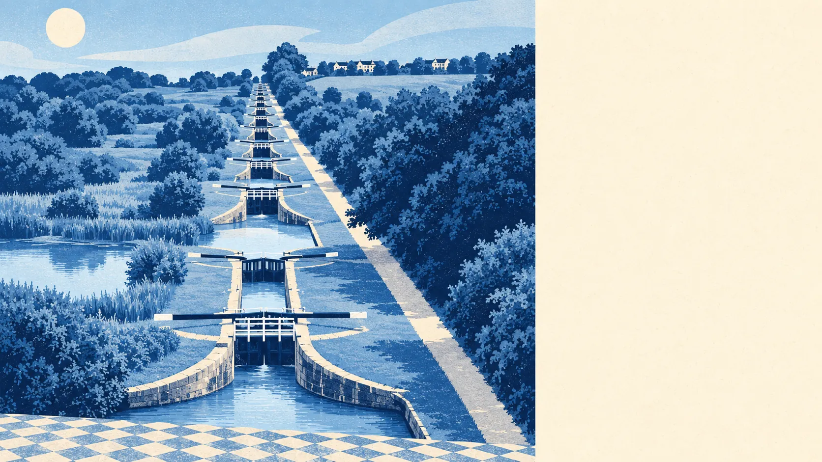
Devizes is safe from rivers and the sea, but it isn't free of flood risk. No part of the town sits in a river-and-sea flood zone. Even so, about one in seven postcodes carry a high-risk flag once rainwater is counted. The only recorded flood came from the drains. In Devizes, water comes down the road, not up a riverbank.
On the Environment Agency's river-and-sea mapping, none of the town's postcodes are in flood zone 3, the highest-probability band, and none are in flood zone 2, the medium-probability fringe beyond it. For a town with a canal running close to its centre, that surprises people, but a canal doesn't count as a river in the way the flood maps measure risk. Buyers who stop reading at "flood zone 1" are reading the wrong map.
Surface water is where the risk actually is. It comes from heavy rain that the ground and the drains can't take fast enough, and it doesn't care how far a house is from a river. The one recorded flood event in the area, in January 2014, was put down to local drainage and surface water. That is the pattern to keep in mind in Devizes: a summer downpour and a blocked gully, not a burst riverbank.
The Environment Agency's climate-adjusted flood zones, which project river and sea flooding forward under a changing climate, also cover none of the town's postcodes. On the forward look, rivers stay off the list too.
For insurance, the postcode matters more than the town. Insurers price surface-water risk street by street and sometimes house by house, so two homes a few hundred metres apart can get quite different quotes. Get a quote on the exact address before you commit, not after the survey comes back.
The postcode-level indicators, which fold surface water in alongside rivers and sea, tell a different story. About 15% of the town's postcodes are rated high on at least one flood measure, about 12% medium, and about 30% low. These bands overlap with each other and measure something different from the river-and-sea zones above, so they shouldn't be added to them. Put plainly, the river map gives the town a clean record, and the rain map doesn't.
On the modelled flood extents, none of the town's postcodes are in a high-risk area with defences, and none are in one without. The model has nothing to defend here because it finds no river or sea threat to defend against. That tells you nothing about surface water, and a garden drain has never counted as a flood defence.
The nearest tide gauge is at Portsmouth, where sea level rose by about 2 millimetres a year over its record from 1962 to 2023. That's a measured historic rate, not a forecast, and for an inland town on a hill it is background reading at most.
No part of the area falls within the Environment Agency's recorded historic flood outlines. Apart from the single drainage event in 2014, the record is quiet. That's reassuring, but it isn't a guarantee. Records only hold what someone wrote down, and surface water floods tend to go unrecorded more often than river floods do.
If you're buying here, the practical steps are short:
- Put the exact address into the Environment Agency's long-term flood-risk service and check the surface-water result, not only the rivers and sea one.
- Get an indicative insurance quote on that address before instructing a solicitor.
- Ask the seller directly whether water has ever come into the property or the garden, and get the answer in writing.
- Look at where the road, the driveway and the neighbouring gardens drain to on a wet day.
Flood risk in Devizes sits in the middle. Rivers and the sea aren't the problem, surface water is, and it's patchy enough that checking the individual address matters more than any town-wide answer.