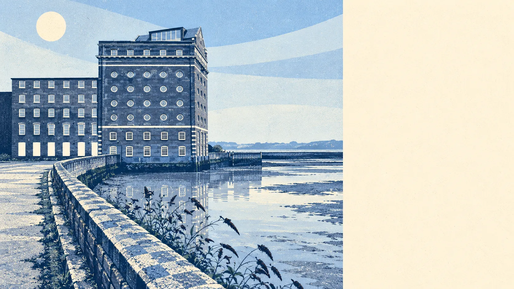
Yes. Most of Deptford is built on land that floods, and it stays dry because of the defences. Two-thirds of its postcodes are in the highest river-and-sea flood zone. Take the defences out of the model and about a third would face high risk. With them in place, almost none do. The town is named after a deep ford, which buyers would do well to remember.
On the Environment Agency's river-and-sea flood map, about 66% of Deptford's postcodes are in Flood Zone 3, the highest-probability zone. Another 11% are in Flood Zone 2, the medium-probability band just outside it. The two zones don't overlap, so together they cover most of the area. Flood zones show the land's exposure to the Thames and the Ravensbourne as if no defences existed. That is how the Environment Agency maps it, though it is not how the place has been lived in since the Victorians.
Surface water is a separate risk, and the river maps don't show it. A blocked drain in a heavy downpour can flood a basement flat that the Thames never reaches, so check the surface-water layer for a particular building as well as the river-and-sea map. About 4% of postcodes have a recorded historic flood. There are 21 recorded flood events in the area, and the most recent, in 1968, came when the main river overtopped its defences.
With the Environment Agency's climate-change allowance applied, which models how the zones grow under higher future flows, just over 90% of postcodes fall within the flood zone. That projection is about the land under the town. It says nothing about any particular year's weather.
Insurance is where this becomes a cost. A home in Flood Zone 3 may still be easy to insure, but the insurer's questions will be more detailed and the premium can depend on which floor you're on. Get a quote for the exact address before you commit. The answer for a fourth-floor flat and for a ground-floor flat in the same block can be very different, and you'll only learn that by asking.
Counting postcodes against several measures at once, including surface water as well as rivers and the sea, about 13% of Deptford's postcodes rate high on at least one. Between 16% and 17% rate medium on at least one, and about 40% low. Because those shares come from a different set of measures, they don't line up with the flood-zone figures above.
Counting homes gives the clearer picture. The Environment Agency's rivers-and-sea assessment covers about 12,700 properties in the Deptford postcodes it lists, and it only lists postcodes with some risk. Of those properties, 259 are at high risk, 213 at medium and 468 at low. About 10,400 are at very low risk. Of the 259 high-risk properties, 244 are homes.
The defences explain the difference. In the Environment Agency's model, about 36% of postcodes fall within the high-risk flood extent if the defences are left out, and about 3% if they are included. "Defended" only means a defence exists in the model. It doesn't mean the property is safe, and 1968 is the reminder. Deptford Creek, the tidal end of the Ravensbourne, reaches the Thames at the edge of the area. The ford the town is named after was crossable only when the river let people across.
The nearest tide gauge with a long record is at Portsmouth. Between 1962 and 2023 it recorded sea level rising by about 2 millimetres a year. That is a past measurement at a gauge some way down the coast, and it doesn't predict anything about the Thames.
Flood risk is Deptford's weakest point. Most of the area is classified as flood plain, and it stays dry because the defences have held, with one failure on record.