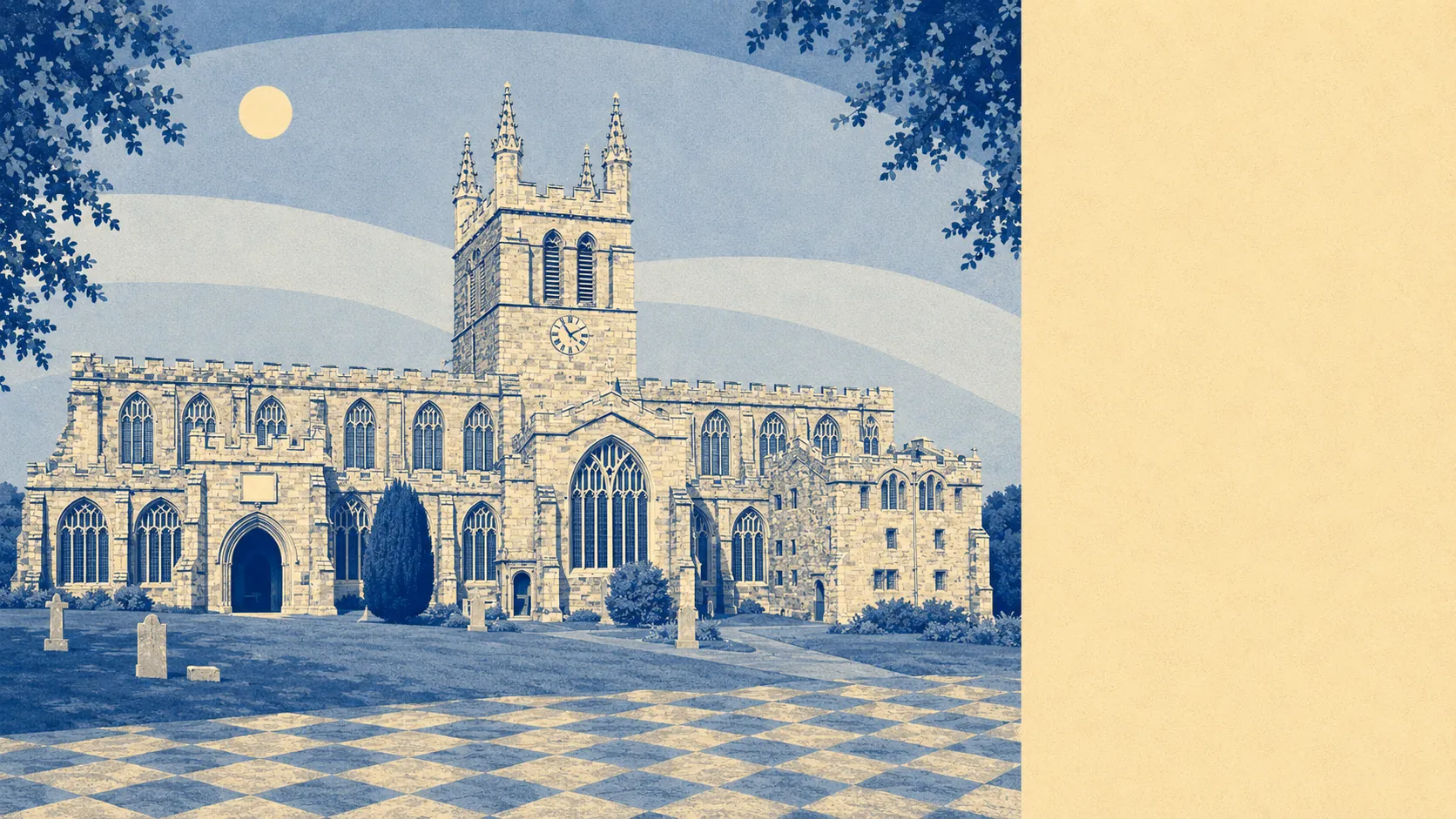
Green, in the unshowy way that never makes it onto a calendar. Green space starts about a hundred metres from the average front door. Water is a short walk further. The gardens are enormous by the standards of anywhere with a railway station. No national park badge, no protected view to argue about, just working Devon countryside getting on with it.
Green space access is the best number this town owns. The average postcode sits about 120 metres from a green space, with around 23 separate green spaces inside a kilometre. That is not one park being counted generously. That is a town where every direction out of the front door hits something open within a couple of minutes.
Water is close behind. The average postcode is about 560 metres from blue space, with around 11 separate water features within a kilometre. In a county where people pay a premium to be near water they can see, Crediton has it without charging for the view.
Getting further out is where the picture thins. The National Cycle Network is about 9.6 kilometres away on average, and no postcodes in the area sit close to it, so the signed long-distance routes are a drive rather than a doorstep option. There is no ancient woodland recorded within the area either. The countryside here is farmed and lived in rather than preserved and interpreted.
What the town itself is made of is more shop than restaurant. The rating list carries 123 shop premises, 24 pubs and 6 restaurants. That ratio is the whole social geography of the place in three numbers: a working high street serving a wide rural catchment, a serious pub count, and a dining scene you could get through in a fortnight.
On air quality, fine particle levels for the Mid Devon council area ran at about 5 micrograms per cubic metre in 2024. That is a council-area figure rather than a street reading, and it is the sort of number rural Devon tends to produce.
The character comes from the ring of villages rather than the town alone. Sandford, Shobrooke, Copplestone, Bow, Newbuildings, Yeoford and Upton Hellions all sit within the orbit, along with Nomansland and Salmonhutch, which are genuine settlements and not the output of a name generator. Shobrooke Park sits close by, and Posbury camp on Castle Down is the kind of earthwork people walk past for decades without registering what it is.
Private outdoor space is where the numbers get almost silly. Gardens account for roughly 177,000 square metres per 1,000 residents. Whatever you are currently calling a garden, the version here is likely to be a different order of object, and it is the single biggest practical difference between living in this town and living in a city of the same price bracket.
Commercially, the valuation list records 398 rateable premises across the area, running from shops and pubs through to 63 office premises and 82 holiday lets. Those are premises on a list rather than businesses currently trading, so treat the count as capacity rather than as a directory. The holiday let figure is the one that tells you how the surrounding countryside earns part of its living.
Eating out is safer than the small restaurant count suggests. Of 80 rated food premises, about 89% hold the top food hygiene score and about 4% sit at the bottom of the scale.
One honest absence is worth stating. No area of outstanding natural beauty, site of special scientific interest or ancient woodland overlaps this area at all. Nothing here is protected because nothing here needed protecting from anyone. The countryside is ordinary in the specific sense that it is used, farmed and walked rather than designated and photographed.
The surroundings are the strongest thing Crediton has, and it is not a close contest. Green space at the end of the street, water within a walk, gardens that would cost a fortune anywhere with a shorter commute, and no committee standing between you and any of it.