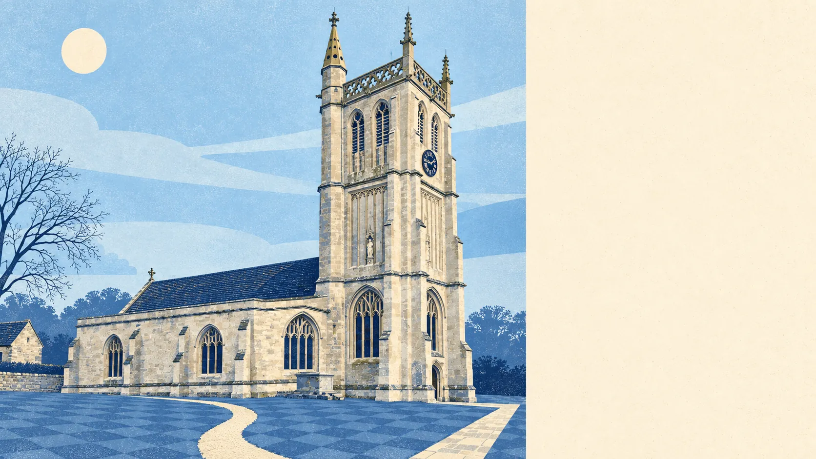
The area around Colerne is protected Cotswold countryside with a village in the middle. The whole place sits inside the Cotswolds' protected landscape. The nearest green space is a couple of minutes from the door. Every rated food outlet has the top hygiene score. What's missing is noise, traffic and anything resembling a retail park.
Green space isn't something you drive to here. The nearest patch averages roughly 150 metres from home, and there are around eight within a kilometre. That's a gate at the end of the lane, not a municipal park with a car park. A dog owner here doesn't need a route plan, only a pair of boots.
Water is further off, as you'd expect on a ridge. The nearest blue space, a stream, pond or river, averages about 840 metres away, and there are around four within a kilometre. The By Brook and its valleys sit below the village, a reasonable walk down and a less relaxing walk back up.
Cyclists do less well. The nearest stretch of the National Cycle Network averages about 6.3 kilometres away, and no postcodes are close to it. Cycling here means lanes and hills, not waymarked routes. There's no ancient woodland recorded within the area itself, although Colerne Park, the medieval enclosure north of the village, is largely woodland today.
The business rating list shows 32 rateable premises for the village area. Those are premises on the valuation list, not a count of businesses open today. Property records for the surrounding district count 42 shops, 22 pubs and five restaurants. That's a countryside economy: more pubs than restaurants, and a lot of shopping done elsewhere.
Eating out is small in scale but clean. All eight rated food premises hold the top hygiene score, and none is rated low. With a sample that small, nobody can hide at the bottom.
Fine-particle air pollution across the Wiltshire council area averaged about 6 micrograms per cubic metre in 2024. That's a council-wide figure rather than a reading taken on Colerne's High Street.
Colerne lies entirely within the Cotswolds Area of Outstanding Natural Beauty. No site of special scientific interest overlaps the area. In practice, the whole landscape is protected as scenery rather than any single patch being protected as a habitat.
The feel of the place comes from what's scattered across the hills around it. There's the Box valley to the south, an Iron Age hillfort to the north, and three bowl barrows in Colerne Park. Hamlets such as Thickwood, Slaughterford and Ford dot the valleys. Across the valley, the western portal of Box Tunnel marks Brunel's railway going under the hill. Near Corsham, the Ministry of Defence's old quarry tunnels are a scheduled monument, including a suite recorded as the Prime Minister's Rooms. The most exclusive rooms in the district are underground and nobody lives in them.
Homes here come with room outside. Across the village's neighbourhoods there's around 182,000 square metres of private garden per 1,000 residents, which is generous by any standard. Most people here have their own outdoor space, and the public green space is on top of that.
The surroundings are one of Colerne's real strengths. Protected countryside starts at the garden fence, and the village is close to plenty of history.